NASA’s ICESat-2 satellite returned to science mode on June 21 UTC, after solar storms in May caused its height-measuring instrument to go into a safe hold. The ICESat-2 team restarted the mission’s instrument, a lidar called the Advanced Topographic Laser Altimeter System (ATLAS), which is once again collecting precise data on the height of Earth’s ice, water, forests and land cover. No damage to the spacecraft or instrument has been detected.
The ICESat-2 instrument had been in a safe hold since May 10, when solar storms created unexpected drag on the spacecraft. This triggered an automated response to turn ATLAS off to protect the instrument. The storm also pulled the spacecraft out of its regular orbit and it drifted down 3.7 miles (6 kilometers) vertically.
The ICESat-2 operations team conducted a series of thruster burns to return the satellite to its desired orbit and completed a sequence of commands to turn ATLAS back on. The team also conducted routine fine-tuning of the laser temperatures.
Data from the instrument are now being collected as before the solar storm, and the ICESat-2 team will continue to monitor the spacecraft and instrument, said project scientist Tom Neumann of NASA’s Goddard Space Flight Center in Greenbelt, Maryland.
Observations from ICESat-2 are available free to the public at www.nsidc.org, which includes 5 ½ years of the satellite’s critical measurements of Earth’s changing ice sheets, glaciers, sea ice, forested areas, inland water bodies, and more.
After going into a safe hold on May 10 due to impacts from the strongest solar storm to hit Earth in two decades, the lidar instrument on NASA’s ICESat-2 satellite is scheduled to resume collecting data around June 17. The storm did not cause any detectable damage to the satellite or its instrument.
Between May 7 and May 11, strong solar flares and coronal mass ejections were released from the Sun and sparked a geomagnetic storm at Earth that caused our planet’s atmosphere to expand in places. This created unexpected drag on ICESat-2, rotating the satellite,and triggering the satellite to enter safe hold, which turned off ICESat-2’s science instrument.
The ICESat-2 team has conducted two thruster burns to raise the spacecraft’s altitude, allowing it to now drift back to its normal orbit around 310 miles (500 kilometers) above Earth. Once there, the team will return the Advanced Topographic Laser Altimeter System instrument to science mode, to continue measuring the height of Earth’s ice, water, forests, and land cover.
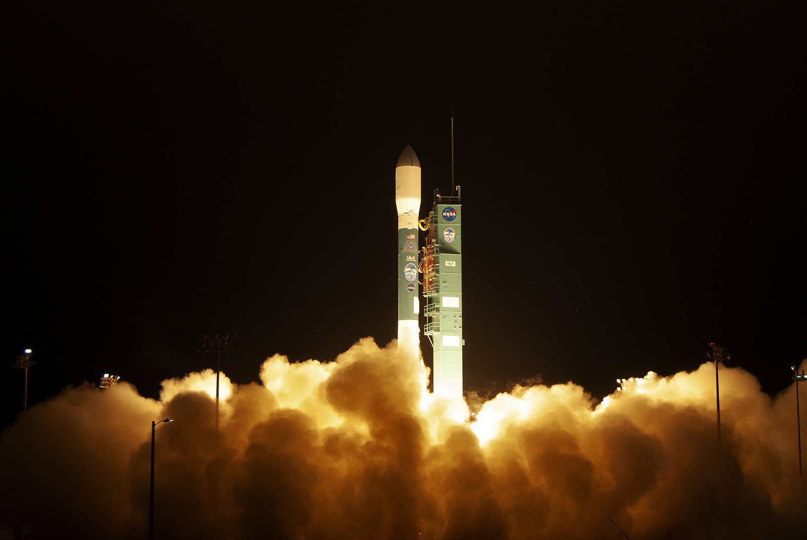
NASA’s Ice, Cloud and land Elevation Satellite-2 (ICESat-2) is embarking on a three-year mission to measure the ice of Earth’s frozen and icy areas after a successful liftoff today at 6:02 a.m. PDT (9:02 a.m. EDT) from Space Launch Complex-2 at Vandenberg Air Force Base in California. The spacecraft was delivered to Earth orbit by the United Launch Alliance Delta II rocket, which completed its final launch after 29 years in service.
“With this mission we continue humankind’s exploration of the remote polar regions of our planet and advance our understanding of how ongoing changes of Earth’s ice cover at the poles and elsewhere will affect lives around the world, now and in the future,” said Thomas Zurbuchen, associate administrator of NASA’s Science Mission Directorate.
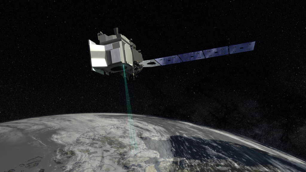
Using its only onboard instrument, the Advanced Topographic Laser Altimeter System (ATLAS), ICESat-2 will gather enough data to estimate the annual height change of the Greenland and Antarctic ice sheets to within four millimeters — the width of a pencil.
The high-resolution data will document changes in the Earth’s polar ice caps and improve forecasts of sea level rise bolstered by ice sheet melt in Greenland and Antarctica. It also will help scientists understand the mechanisms that are decreasing floating ice and assess how that sea ice loss affects the ocean and atmosphere.
ICESat-2 builds upon the record of ice height measurements started by NASA’s original ICESat mission, which operated from 2003 to 2009. These measurements were continued by the agency’s annual Operation IceBridge airborne flights over the Arctic and Antarctic, which began in 2009. Data from ICESat-2 will be available to the public through the National Snow and Ice Data Center.
The first ICESat mission launched in January 2003, also on a Delta II from Vandenberg.
“I’m thrilled that we were able to close the chapter on Delta II with a huge success for an incredibly important science payload,” said NASA Launch Manager Tim Dunn.
“ICESat-2 is going to do cutting-edge scientific data gathering; the precision measurements it’s going to make from space are going to be incredible. So to be able to say we launched this very important science mission on the final flight of the industry workhorse is just a huge accomplishment for the entire team,” he added.
A host of small satellites, known as CubeSats, also were carried into space aboard the Delta II. The Educational Launch of Nanosatellites (ELaNa) XVIII payload included University of Central Florida’s SurfSat; California Polytechnic State University’s DAVE (Damping and Vibration Experiment); and UCLA’s ELFIN (Electron Losses and Fields Investigation (ELFIN) and ELFIN-STAR (Spatio-Temporal Ambiguity Resolution). The CubeSats, which flew inside Poly Picosatellite Orbital Deployers (P-PODs) mounted to the rocket’s second stage, were successfully deployed on time, more than an hour after liftoff.
NASA’s ICESat-2 spacecraft deployed its four solar panels and is drawing power, indicating it is healthy upon its arrival in orbit. The spacecraft launched on the final flight of the United Launch Alliance Delta II rocket, lifting off from Space Launch Complex-2 at California’s Vandenberg Air Force Base at 6:02 a.m. PDT (9:02 a.m. EDT).
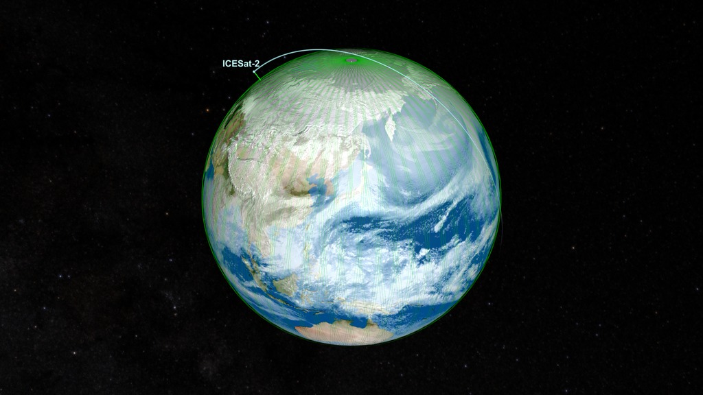
Ground stations in Svalbard, Norway, have acquired signals from the spacecraft. It is performing as expected and orbiting the globe, pole to pole, at 17,069 mph from an average altitude of 290 miles.
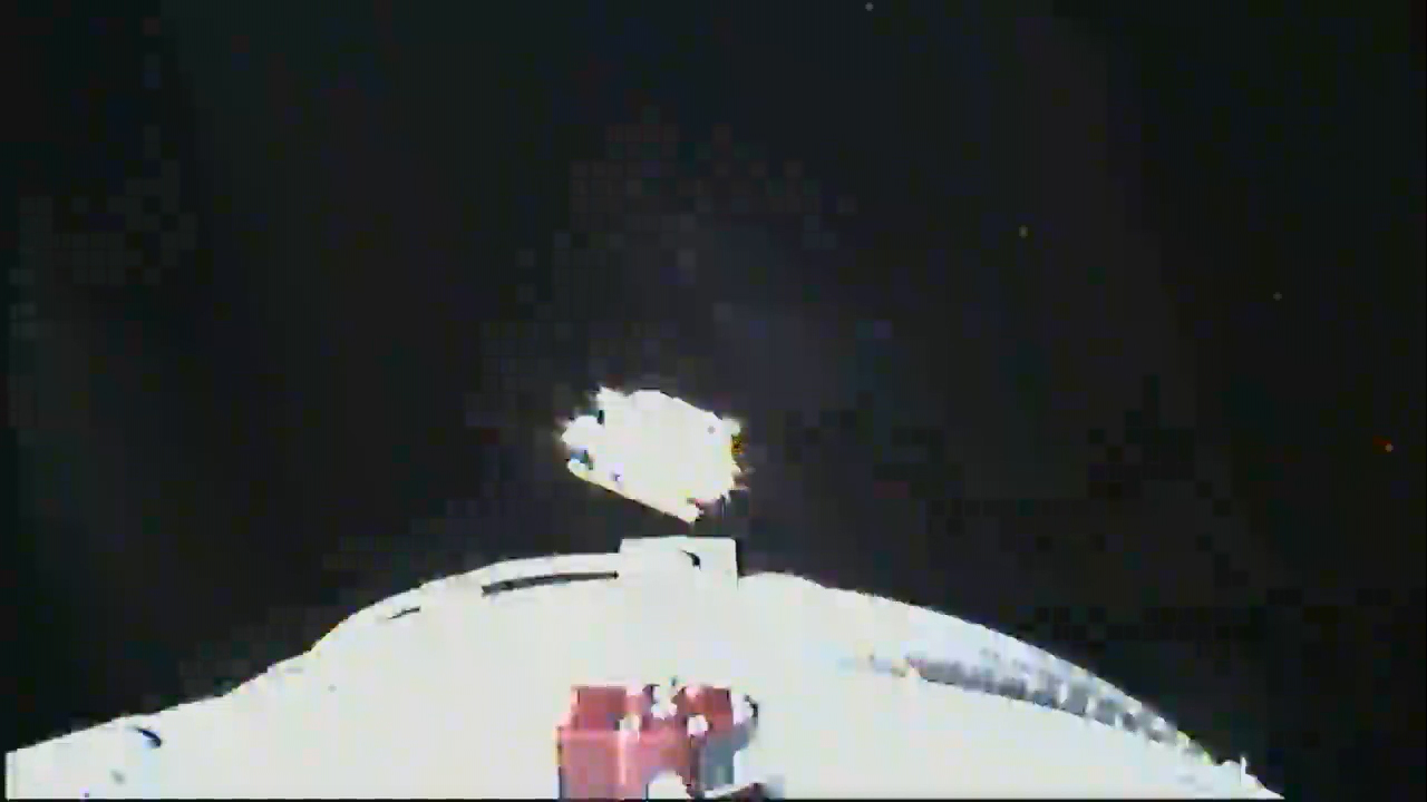
NASA’s ICESat-2 spacecraft has separated from the United Launch Alliance Delta II rocket’s second stage following a successful climb to space that began with liftoff at 6:02 a.m. PDT (9:02 a.m. EDT) from Vandenberg Air Force Base in California.