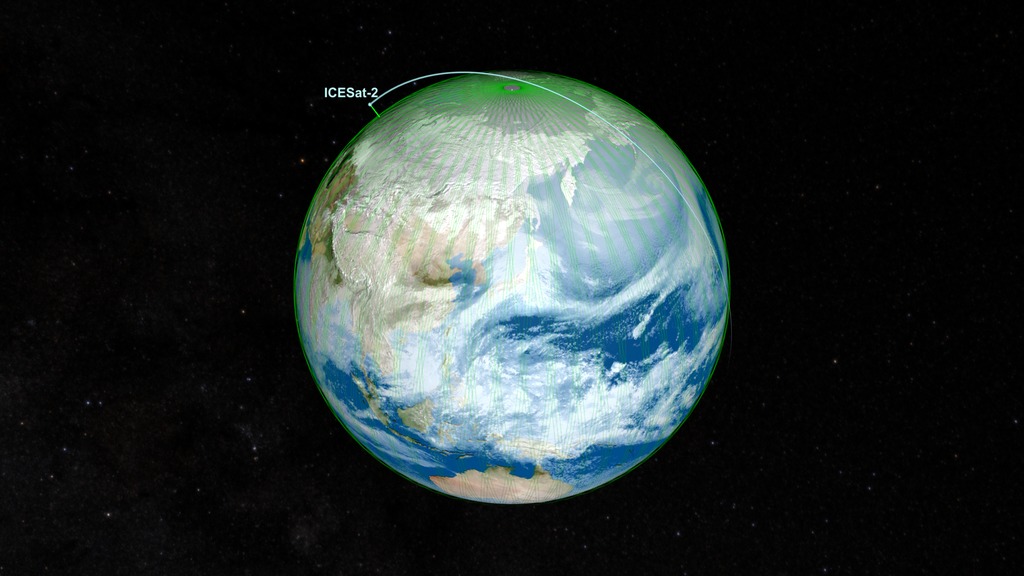
NASA’s ICESat-2 satellite returned to science mode on June 21 UTC, after solar storms in May caused its height-measuring instrument to go into a safe hold. The ICESat-2 team restarted the mission’s instrument, a lidar called the Advanced Topographic Laser Altimeter System (ATLAS), which is once again collecting precise data on the height of Earth’s ice, water, forests and land cover. No damage to the spacecraft or instrument has been detected.
The ICESat-2 instrument had been in a safe hold since May 10, when solar storms created unexpected drag on the spacecraft. This triggered an automated response to turn ATLAS off to protect the instrument. The storm also pulled the spacecraft out of its regular orbit and it drifted down 3.7 miles (6 kilometers) vertically.
The ICESat-2 operations team conducted a series of thruster burns to return the satellite to its desired orbit and completed a sequence of commands to turn ATLAS back on. The team also conducted routine fine-tuning of the laser temperatures.
Data from the instrument are now being collected as before the solar storm, and the ICESat-2 team will continue to monitor the spacecraft and instrument, said project scientist Tom Neumann of NASA’s Goddard Space Flight Center in Greenbelt, Maryland.
Observations from ICESat-2 are available free to the public at www.nsidc.org, which includes 5 ½ years of the satellite’s critical measurements of Earth’s changing ice sheets, glaciers, sea ice, forested areas, inland water bodies, and more.
