Countdown clocks are holding at the T-15 minute mark. This is a built-in hold.
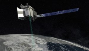
During the three-year ICESat-2 mission, the spacecraft will use its only instrument, the Advanced Topographic Laser Altimeter System (ATLAS), to measure the elevation of Earth’s surface. Its focus is on Earth’s frozen and icy areas, or cryosphere. By timing how long it takes laser beams to travel from the satellite to Earth and back, scientists can calculate the height of glaciers, sea ice, forests, lakes and more – including the changing ice sheets of Greenland and Antarctica.
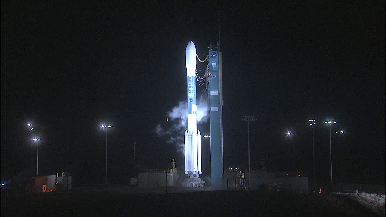
ICESat-2 builds on the capabilities of ICESat-1, which launched in 2003, also aboard a Delta II from Vandenberg Air Force Base. That mission operated until 2009.
Also on board is the ELaNa XVIII payload. ELaNa, which stands for Educational Launch of Nanosatellites, is a NASA initiative that provides opportunities to launch small payloads known as CubeSats. Flying today on ELaNa XVIII are:
- SurfSat – University of Central Florida
- DAVE (Damping and Vibration Experiment) – California Polytechnic State University
- ELFIN (Electron Losses and Fields Investigation (ELFIN) – University of California, Los Angeles, CA
- ELFIN-STAR (Spatio-Temporal Ambiguity Resolution) – identical twin to ELFIN – University of California, Los Angeles, CA
The CubeSats are flying inside Poly Picosatellite Orbital Deployers, or P-PODS, which are mounted to the Delta II rocket’s second stage. They’ll be deployed after ICESat-2 spacecraft separation.