Brice Grunert, assistant professor at Cleveland State University in Ohio, is a member of NASA’s PACE (Plankton, Aerosol, Cloud, ocean Ecosystem) validation science team. The team, called PACE Radiometry and IOPs for Novel Great Lakes Science (PRINGLS) is one of many groups participating in a campaign set out to gather data around the world to validate the accuracy of information from the PACE satellite up in orbit. He and his team recently took to the Great Lakes for one of many segments of the campaign to study light optical properties in the lake water.

Where did you go for your field campaign? Why did you choose that location?
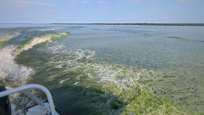
We’re focusing on the western and central portions of Lake Erie and Lake Superior, as well as coastal Lake Michigan and the Green Bay area. The reasoning for why we’re selecting these sites is that there are really nice biogeochemical and optical gradients, or opportunities to see the transition regions. Green Bay is the best example – it receives a lot of river water input on its southern end from the Fox River, which accounts for about a third of the total phosphorus inputs to Lake Michigan. So, you have this narrow, constrained bay that receives an enormous amount of nutrients, which then joins the nutrient-poor Lake Michigan. This results in a gradient of nutrient-rich waters in the southern end, with low plant nutrients waters in the northern end, and these filaments of harmful algal blooms. You get just a ton of variability over the course of a single day of sampling – and that’s consistent with all the environments that we’re sampling within the Great Lakes.

How are you gathering your data? How do they relate to PACE’s instruments?
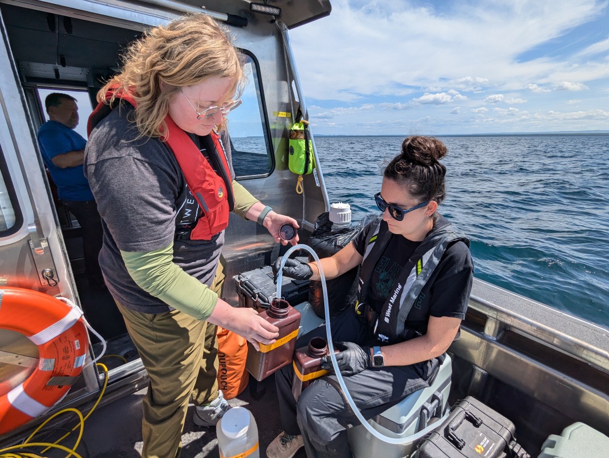
We’re using an above-water radiometer, which is a remote sensing instrument that measures reflectance. It is essentially measuring the same thing that PACE’s Ocean Color Instrument sensor measures – the light leaving the water surface. We also have a hyperspectral backscattering instrument, which measures the light reflected within an aquatic system. We combine information from the backscattering instrument with what we learn from water samples, which we use to measure absorption due to colored dissolved organic matter and particulate matter – for example, phytoplankton – to provide the inherent optical properties. Inherent optical properties are the fundamental pieces of an ecosystem that are going to contribute to the color of the water that the satellite is observing.
What are some of the rewards and challenges of field campaigns?

You get to go to all these new locations and see how the system functions. It’s one thing to see it from satellite perspectives, but another thing to actually be out on the water and see that chlorophyll concentration that a satellite is seeing, which will look different across these unique environments. Being able to go out there and immerse yourself within that system, see the surroundings, and interact with new people is a huge reward for us.
The challenge is that you really never know what’s going to happen. For example, one time in April, the wave and wind forecasts looked good, and we got out there to find waves that were way too big to do any type of sampling. So, it’s sort of just having that mindset of accepting and being flexible with whatever comes your way.
What is one catch-all statement you would use to describe the importance of your work?
There really is a need for satellite observations to give us that spatial coverage and then that temporal piece that is often missing from your traditional kind of in-situ sampling campaigns. But then at the same time, the reason why we go out on these boats is because satellites have their own limitations.
We’re trying to push the envelope of what a satellite is able to tell us about Earth systems, by leveraging the strengths of an in-situ field campaign. The goal is to try to get the two – the field campaign and the satellite – as close together as possible and have the satellites see things as well as we can see them from a ship. That’s really a goal so that we can better understand our Earth systems.
Header image caption: Kendra Herweck, a research technician, and Emily Hyland, a Master of Science student, collecting water samples in Lake Superior’s Keweenaw Bay. Credit: Brice Grunert/CSU Ohio
By Erica McNamee, Science writer at NASA’s Goddard Space Flight Center

