We had two productive back-to-back missions on Wednesday and today. I’m very impressed by the performance of the aircraft and the NASA team. Today, the SIERRA flew over 1000 km, which is what I’d hoped for but really expect would be possible. The ice conditions we’re seeing in the data are exactly the types of conditions I’d hoped we would encounter. Now, we just need to keep racking up the flight hours in conjunction with good performance from the sensors. Being in this location, with this aircraft, sensor package, and team, is a rare opportunity of which we hope to take full advantage.
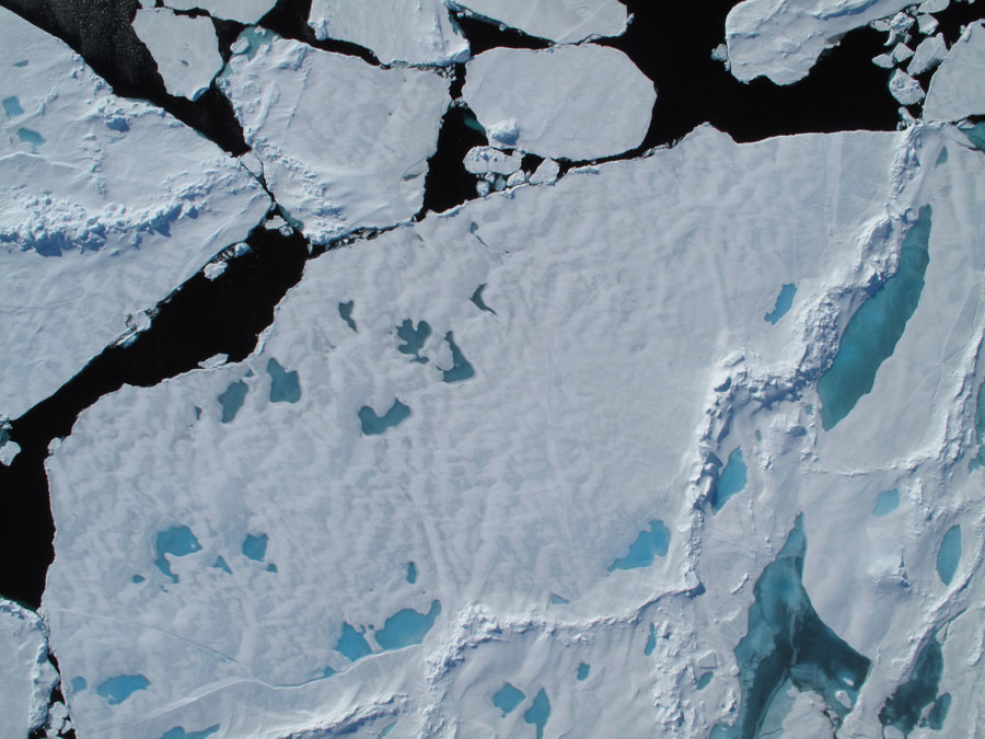
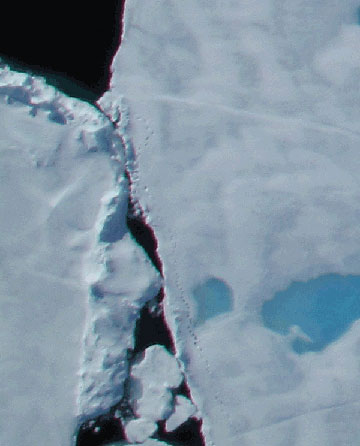
This is an example of an image from Jim Maslanik’s tracking camera. The image below is an
inset of the lower left corner showing what appear to be polar bear tracks.
As for flying conditions over the ice, low level cloud continues to be our main problem in terms of collecting a full suite of ideal data. The cameras can still see surface features through these low, thin clouds, and our imaging radar is unaffected by clouds, so we continue to accumulate useful information. The LIDAR system, though, needs to get mostly clear view of the ice without too many liquid water droplets between the aircraft and the surface. The type of clouds we’re encountering (actually, more like a fog) form when the warm air passes over the cold ice. This is essentially the same thing that happens when you open your freezer on a hot, humid day – the moist, warm air hits the cold air, and condenses into fog. Conditions over the next few days and into early next week are favorable for good sky conditions.
-Posted by CASIE PI James Maslanik