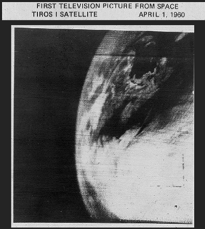
On April 1, 1960, NASA’s first operational weather satellite launched from Cape Canaveral in Florida.
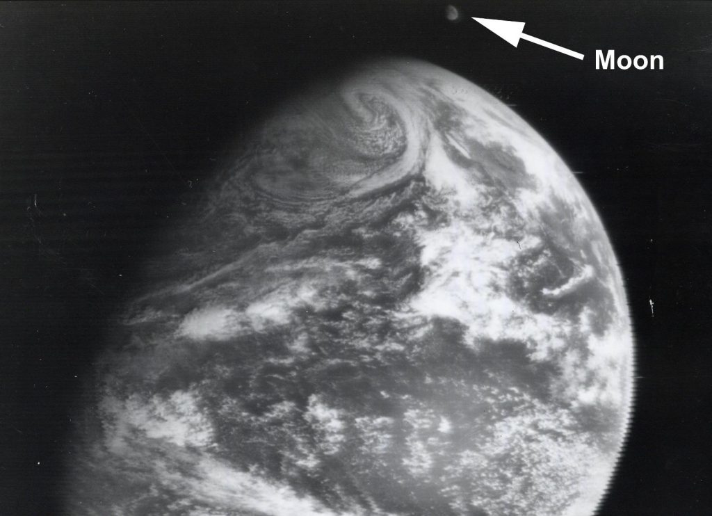
The Television Infrared Observation Satellite, known as TIROS-1, was 270 pounds, the weight of a baby elephant, and carried two cameras and two magnetic tape machines. Once TIROS reached its orbit at 450 miles above Earth’s surface, it began to beam back the first fuzzy pictures of cloud formations moving across the planet.
TIROS-1 would operate for 78 days and capture nearly 20,000 images of Earth, paving the way for the next 60 years of weather and environmental observations by NASA and NOAA.

 Now, a constellation of weather satellites scans our planet, circling the globe. Data from these satellites feed global weather models, allowing for daily weather forecasts. They tell us about wildfires, volcanoes, floods, fog, atmospheric ozone, sea ice and sea surface temperatures. And they help us plan for severe storms, such as hurricanes and tornadoes.
