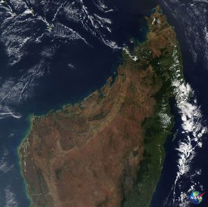
Since before the first Earth Day fifty years ago, NASA has had eyes on our planet from space. A few years before the first Earth Day, our very first weather satellites captured images of clouds moving in Earth’s atmosphere. Today, a constellation of satellites generates near-real-time images of precipitation around the globe.
Shortly after the first Earth Day, NASA and U.S. Geological Survey researchers were preparing to launch the first Earth Resources Technology Satellite, later named Landsat 1, to collect images of the land. Now, engineers are building and preparing to launch Landsat 9 to continue that record.
A few years after the first Earth Day, the Nimbus-7 satellite imaged changing sea ice in the Arctic and Antarctic. Now, NASA has a 40-year record of sea ice extent at both poles.
 These are just a few of the many ways our view of Earth has sharpened since the first Earth Day.


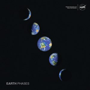 When Apollo 8 astronaut William Anders snapped the iconic Earthrise image, it captured the imagination of the people on Earth and helped inspire the first Earth Day. It’s a beautiful image and reminds us how fragile our home planet is.
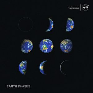
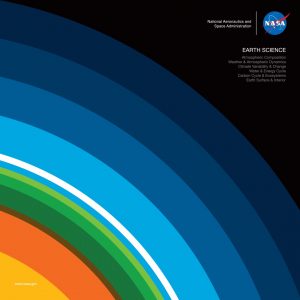 In honor of Earth Day, we’ve created
