Puerto Rico Power Outages Tracked by Satellite

Using satellite data of Puerto Rico showing nighttime lights before Hurricane Maria and after, NASA scientists produced maps that show areas where electric power has been lost or reduced. A portion of San Juan is shown here. Credit: NASA

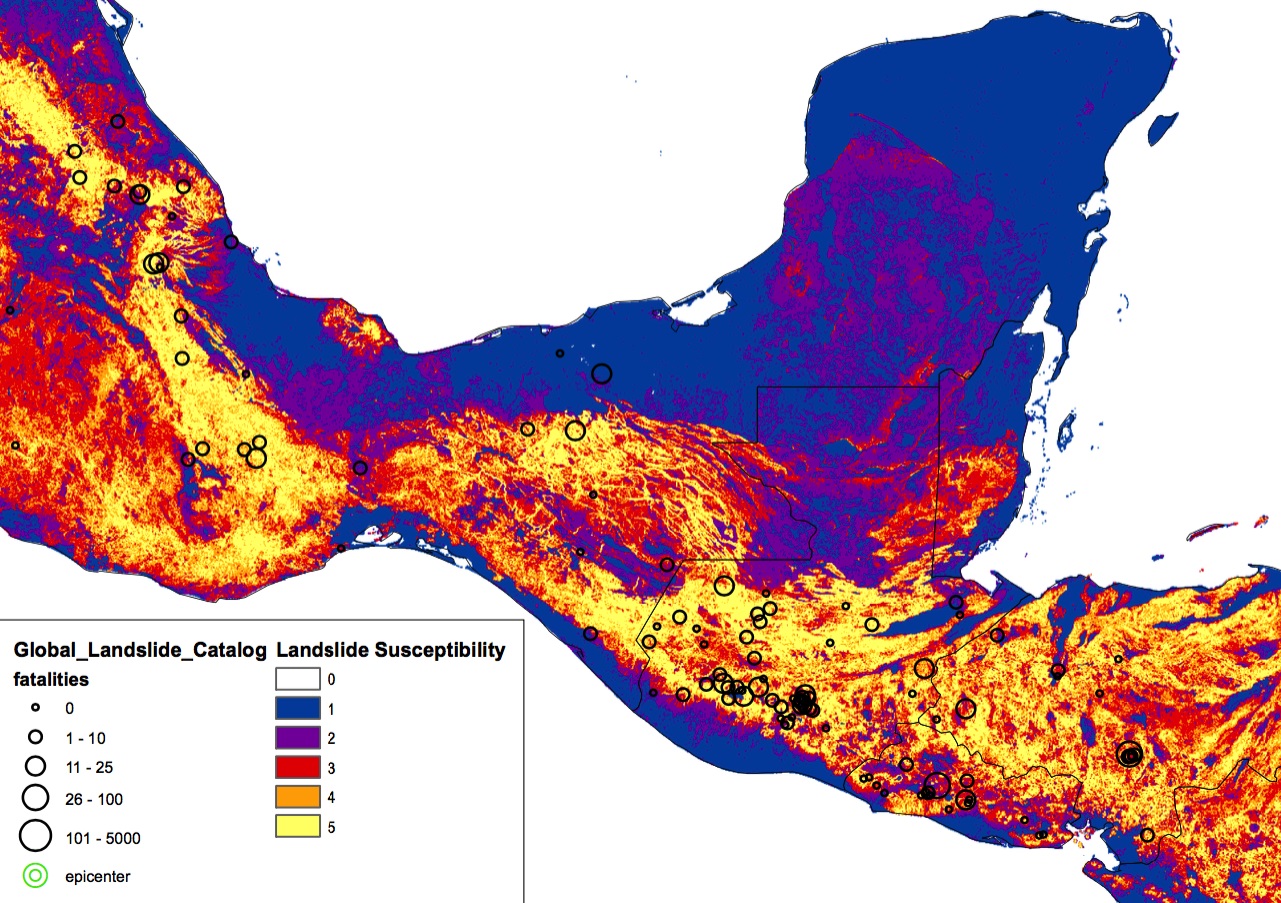
After Hurricane Maria tore across Puerto Rico, it quickly became clear that the destruction would pose daunting challenges for first responders. Most of the electric power grid and telecommunications network was knocked offline. In circumstances like this, quickly knowing where the power is out—and how long it has been out—allows first responders to better deploy rescue and repair crews and to distribute life-saving supplies.

Teams of scientists at NASA are working long days to make sure that groups like the National Guard and the Federal Emergency Management Agency (FEMA) get high-quality satellite maps of power outages in Puerto Rico.

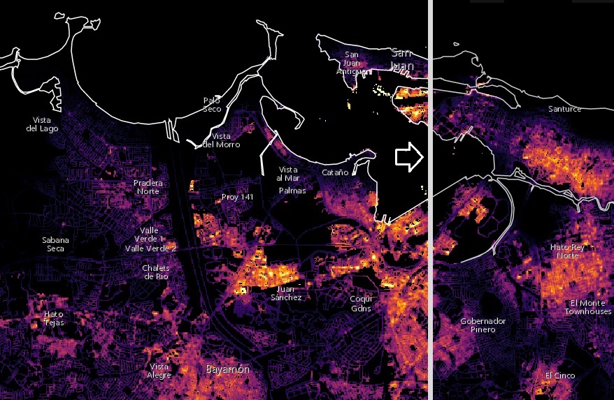
These before-and-after images of Puerto Rico’s nighttime lights are based on data from the NASA-NOAA Suomi NPP satellite. The data detect light in a range of wavelengths from green to near-infrared, including reflected moonlight, light from fires and oil wells, lightning, and emissions from cities or other human activity.

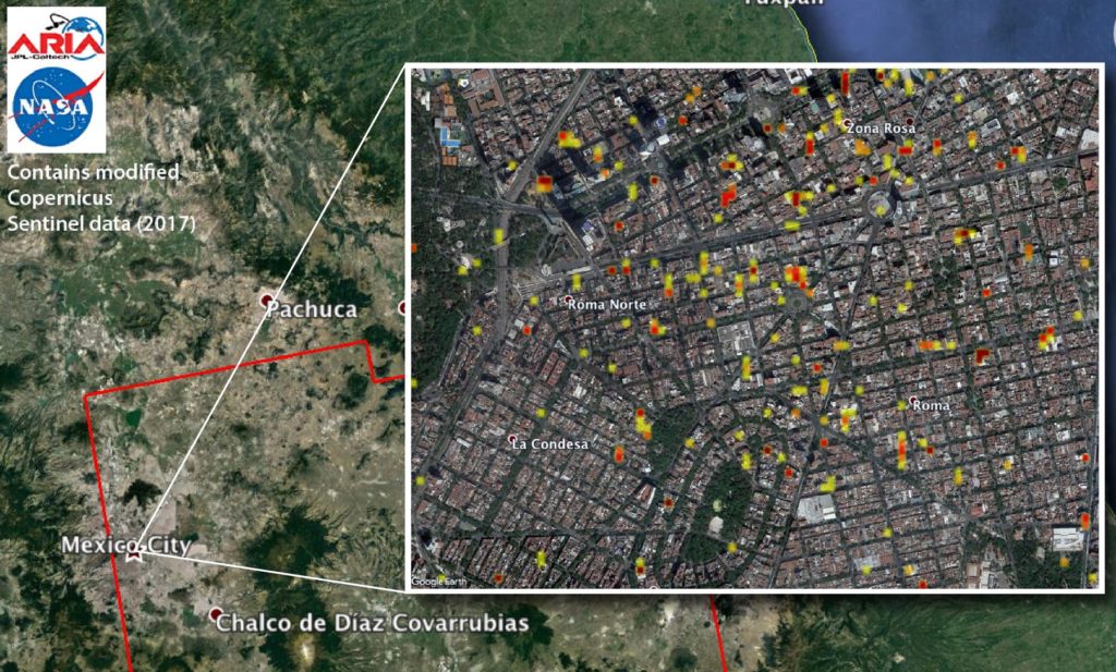
The maps were provided to first responders in Puerto Rico by the NASA Disasters Program, part of the Earth Science Division. Dedicated teams of Earth-observation disaster specialists at NASA centers mobilize to assist in preparations for, responses to, and recovery from a wide range of natural and human-made hazards.

Click here for more information on these maps and to use an online tool to compare recent images of Puerto Rico at night with a baseline view acquired before Hurricane Maria. Click here to download high-resolution before-and-after images of the San Juan area.


Satellite Data of Puerto Rico Identifies Possible Damage Areas

NASA used satellite data to create this “damage proxy map” of locations in the San Juan, Puerto Rico, area that are likely damaged as a result of Hurricane Maria (red and yellow pixels). Credit: NASA

NASA’s Disasters Program has delivered to the Federal Emergency Management Agency (FEMA) a map of areas in eastern Puerto Rico that have likely been damaged as the result of the landfall of Hurricane Maria on Sept. 20.

The “damage proxy map” was created by the Advanced Rapid Imaging and Analysis team at NASA’s Jet Propulsion Laboratory in Pasadena, California, and Caltech, The map is derived from synthetic aperture radar images from the Copernicus Sentinel-1A and Sentinel-1B satellites, operated by the European Space Agency. The images were taken before and after the storm’s landfall. The map was delivered to responding agencies, including FEMA, which combined the map with building infrastructure data to estimate a damage density map. This information was sent to FEMA’s Urban Search and Rescue teams in the field in Puerto Rico.

The full map covers an area of 105 by 60 miles, with an inset showing the extent of damage in and around the capital city of San Juan. Each pixel in this image measures about 98 feet across. The color variation from yellow to red indicates increasingly more significant ground surface change. This damage proxy map can be used as guidance to identify damaged areas.

The NASA Disasters Program, part of the Earth Science Division in the Science Mission Directorate, works with international, regional, and local disaster management agencies to provide critical information using global environmental data from NASA’s fleet of Earth science satellites and other airborne and space-based assets. Dedicated teams of Earth-observation disaster specialists at NASA centers mobilize to assist in preparations for, responses to, and recovery from a wide range of natural and human-made hazards.

Click here for more information and to download the high-resolution image.


Damage Maps May Aid Mexico Quake Response

A NASA-produced map of areas likely damaged by the Sept. 19 magnitude 7.1 Raboso earthquake near Mexico City has been provided to Mexican authorities to help responders and groups supporting the response efforts. The quake, which struck 75 miles southeast of Mexico City, caused significant loss of life and property damage.

To assist in the disaster response efforts, scientists at NASA’s Jet Propulsion Laboratory and Caltech, both in Pasadena, California, obtained and used before-and-after interferometric synthetic aperture radar (InSAR) satellite imagery of areas of Central Mexico, including Mexico City, affected by the quake, to identify areas of damage and produce what is known as a Damage Proxy Map. The imagery — acquired before the quake on Sept. 8, and again on Sept. 20, 2017, just six-and-a-half hours after the earthquake — is from the radar instrument on the Copernicus Sentinel-1A and Sentinel 1-B satellites operated by the European Space Agency.

The NASA Disasters Program, part of the Earth Science Division in the Science Mission Directorate, works with international, regional, and local disaster management agencies to provide critical information using global environmental data from NASA’s fleet of Earth science satellites and other airborne and space-based assets. Dedicated teams of Earth-observation disaster specialists at NASA centers mobilize to assist in preparations for, responses to, and recovery from a wide range of natural and human-made hazards.

Click here for more information and download of this map.


A Very Tough Month for Natural Disasters

When major disasters strike, NASA mobilizes to aid disaster response and recovery efforts by bringing the power of space – data from science satellites circling the globe or from the International Space Station – to responders on the ground.

Tapping the terabytes of global environmental data streaming down every day from NASA’s fleet of Earth-orbiting satellites and other airborne and space-based assets, the NASA Earth Science Disasters Program works with international, regional, and local natural disaster response agencies and other Earth-observing space agencies around the world to quickly deliver critical information.

The program has been particularly active over the past month since Hurricane Harvey formed in late August, followed by Hurricanes Irma and Maria and two major earthquakes in Mexico. NASA provided an array of information products in support of disaster responses to each of these events.

In the aftermath of Hurricane Harvey, NASA produced a map (below) of “financial loss potential” in Texas and Louisiana by combining data on the extent of flooding with property values in affected areas.

The program created a collection of georeferenced digital camera images taken by astronauts on the International Space Station in mid-September that detail the flooding in Florida caused by Hurricane Irma.

Using historical and current satellite data on rainfall, the program provided disaster managers with a map showing areas at risk of landslides after the major Sept. 7 earthquake offshore of Chiapas, Mexico.

In 2016 NASA responded to nearly 100 events, enabling coordination and information support for a wide range of global incidents.

“Our program is like a think tank with the technical expertise and strong relationships that we draw on to provide useful products to disaster managers,” said David Green, manager of NASA’s Disasters Program, part of the Earth Science Division in the agency’s Science Mission Directorate in Washington. “When disasters occur, our researchers become providers and distributors of images, data, and damage assessments.”

Dedicated teams of Earth-observation disaster specialists at seven NASA centers respond to events in real-time and work with partner agencies to get them the information they need. The program mobilizes for intensive risk events that span a range of natural hazards – earthquakes, tsunamis, wildfires, floods, landslides, severe weather, winter storms, tropical cyclones, and volcanoes – plus manmade events such as oil spills and industrial accidents.

Related link:

NASA Feature: “When Disaster Strikes, NASA Brings the Power of Space