On June 1, the 2019 Atlantic hurricane season begins. But worldwide there really is no off-season for these tropical storms; they affect the globe in one way or another year-round.
At NASA, we leverage the power of our views of Earth from space and research aircraft to assist communities around the world as they plan for — and recover from — these severe, often life-threatening, events. Data from NASA’s robust constellation of orbiting satellites and airborne and ground sensors are used to assess, predict and describe disaster impacts to inform the actions of leaders, first responders, and those providing relief.
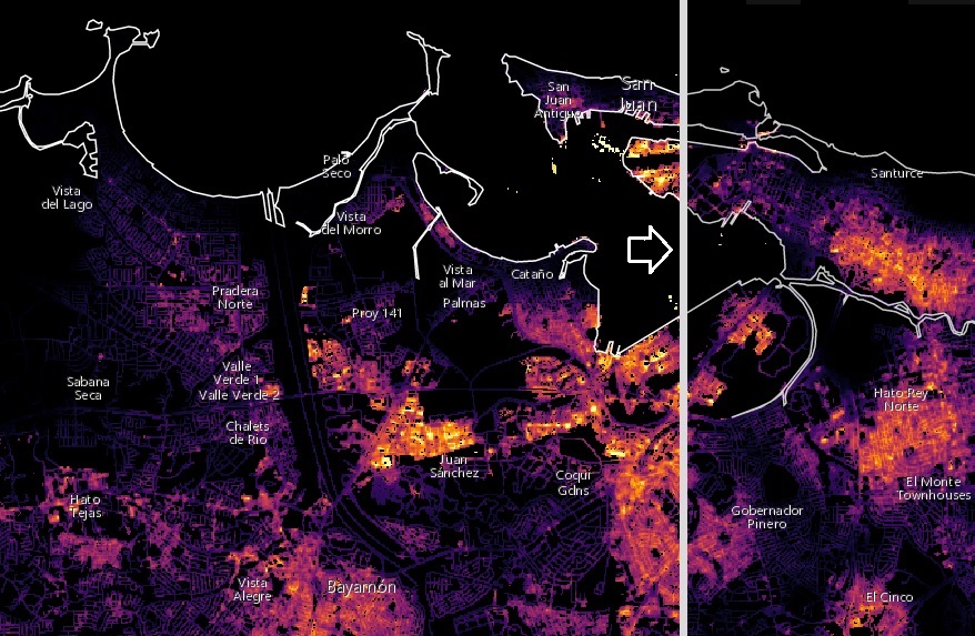
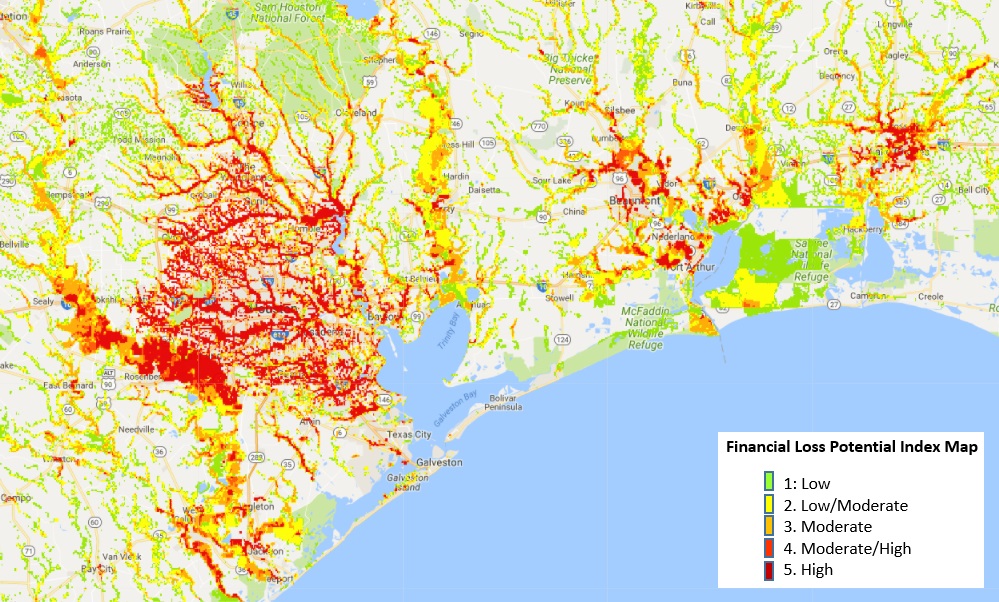
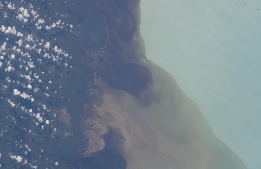
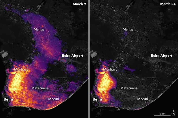
For example, NASA data visualizations map storm-induced power outages and help responders monitor progress in power restoration. We’re able to supply near-real-time scans of inland surge and flood waters, allowing decision makers to deploy help to those who need it the most. We can also chart widespread damage to vegetation and help monitor ecosystem recovery. This type of information can be crucial, especially for remote areas where in-person observations are difficult.
This year, NASA has already aided in the response to cyclones Idai and Kenneth that hit Mozambique in March and April, respectively. Combined, the storms led to the deaths of more than 1,000 people and the displacement of nearly 180,000. To assist in recovery, we reached out to officials and responders to identify the kinds of information NASA could contribute. We then put together data packages specific to the needs of local officials and national decision makers.
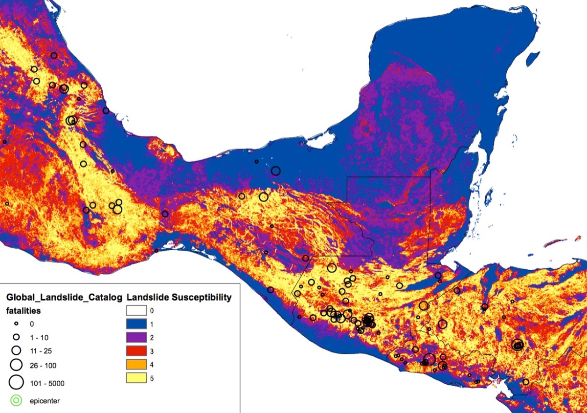
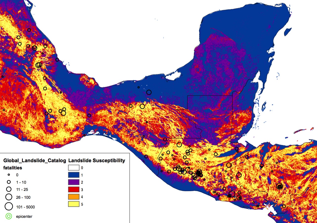
In 2018 we used NASA data to help responders assess the threat of landslides as Hurricane Willa struck Mexico’s southwestern coast in October. Before and after Super Typhoon Yutu made landfall in the Northern Mariana Islands in October, we were able to craft pre- and post-event maps that helped officials analyze the damage across a wide stretch of the island chain.
Communities affected by disasters rely on the efforts of humanitarian aid and relief organizations, food and water system groups, weather and climate centers, and telecommunications and re-insurance partners. Because of the information NASA provides to decision makers, those most stricken can be reached and helped more quickly, lessening impacts and speeding the recovery process.
Our goal is to use NASA expertise to anticipate risk and help alleviate projected impacts. In so doing, we will play our part in helping communities improve readiness and sustain resilience.
David Green, Disasters Program Manager, NASA Earth Science Division

