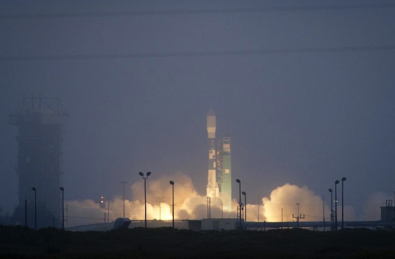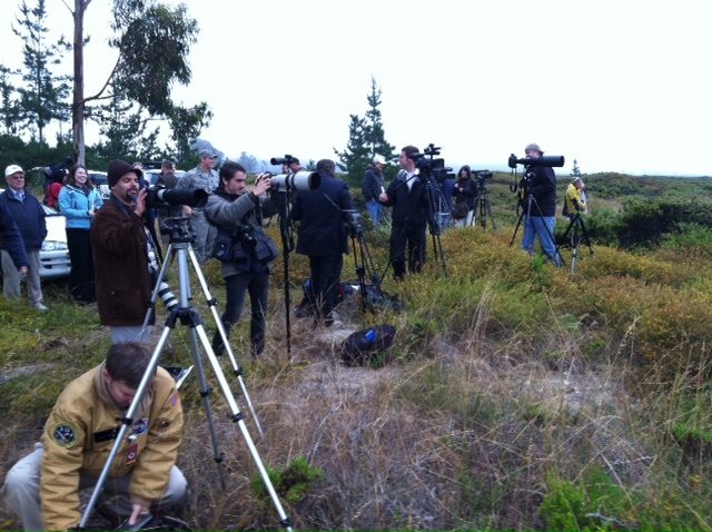
Joe Witte filed this report from the media viewing site at Vandenberg Air Force Base shortly before the Aquarius satellite blasted successfully into space.
More than a dozen reporters from Argentina are either standing or slowly moving about trying to stay warm while waiting for the launch of the Aquarius satellite. The low cloud deck over Vandenberg Air Force Base in California puts a damper on their spirits after traveling all the way from South America to see a Delta II rocket quickly disappear on it’s way to an orbit 400 miles above the earth.
Scientists from Argentina collaborated with NASA researchers to develop a highly specialized instrument to measure the amount of salt in the world’s oceans. It has taken nearly three decades of research and technical development to get to this point. Thirty years of work will disappear into the fog in a couple of seconds.
If all goes well after about 30 days of testing and calibrating, the satellite will be sending down valuable data on the salinity of the oceans.
The amount of salt in a parcel of water, along with the water’s temperature, determines the buoyancy of a parcel or body of water. For instance, along the southern east coast of the US the Gulf Stream becomes very salty because the tropical sun warms the ocean surface and produces evaporation from the ocean.Evaporation leaves salt behind in the ocean water at the surface leaving the Gulf Steam especially salty.
The salty water cools as the Gulf Stream flows into the northern areas off Canada with colder air temperatures. Cold temperatures and high salinity result in dense water, which slowly sinks into the depths of the northern Atlantic. This process is what drives the deep ocean circulation around the whole Earth. Since 70 percent of the planet is ocean the effects on climate are very significant.
Over the coming years, climate scientists and oceanographers expect to make many new discoveries with Aquarius data.

