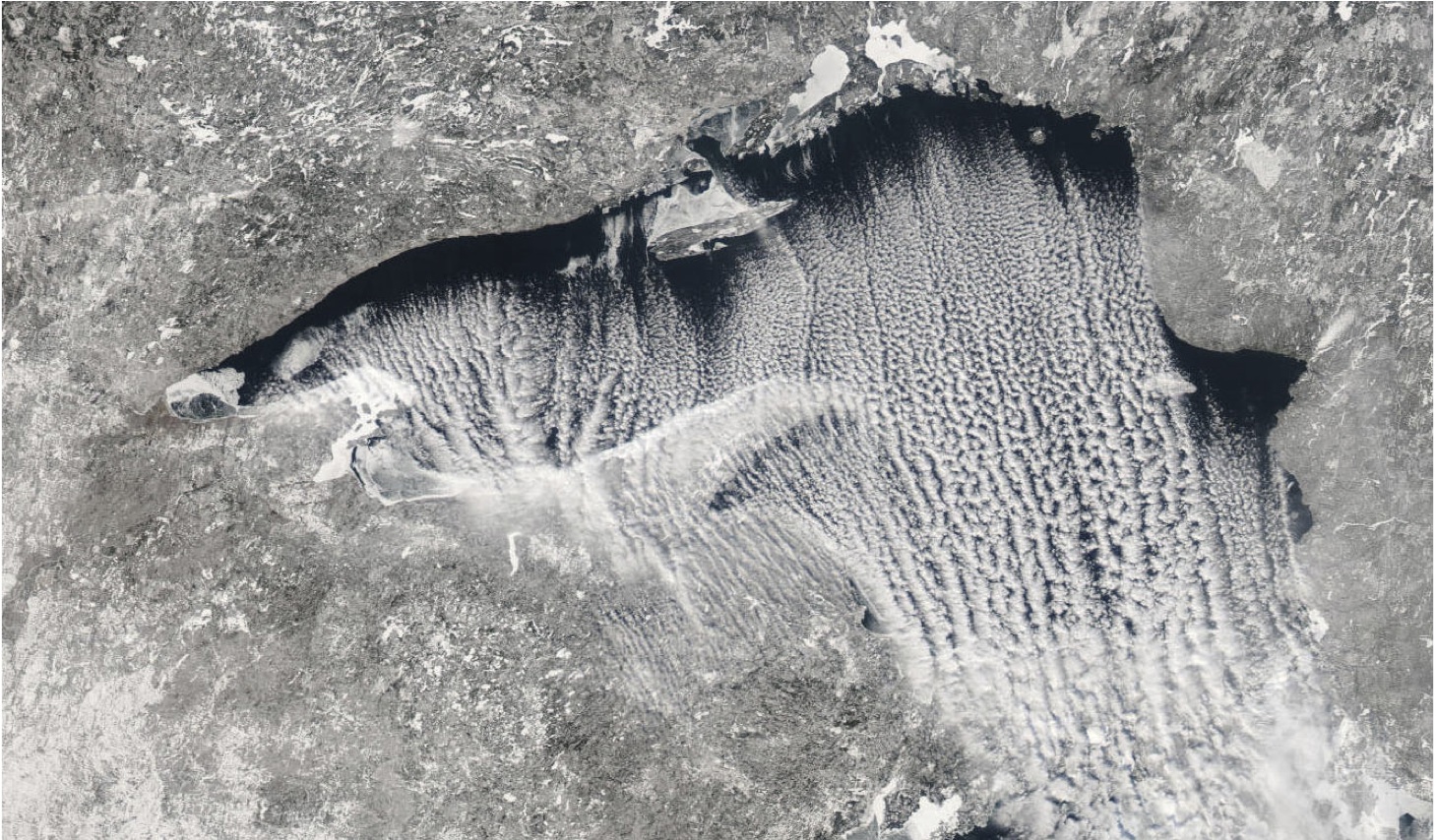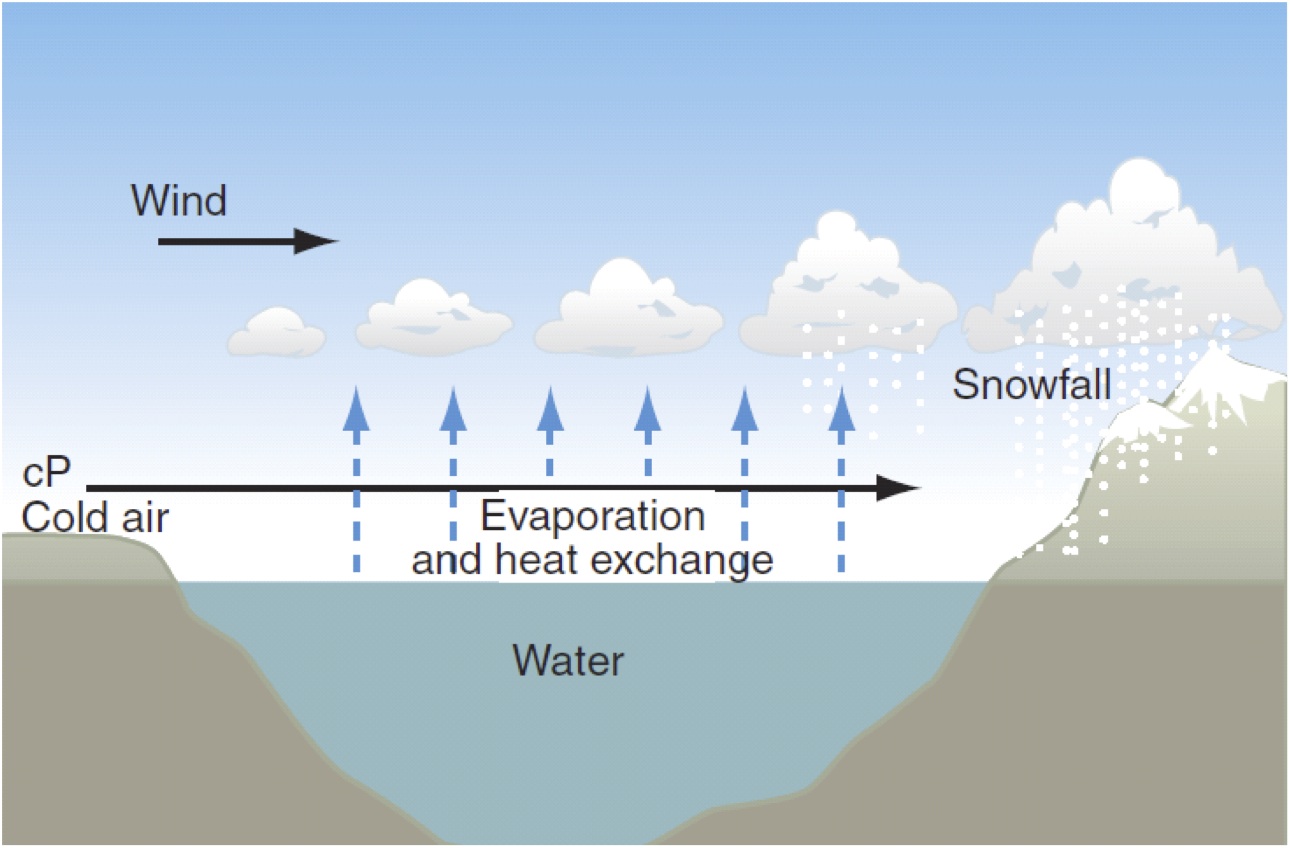
Parallel lines of cumulus clouds often appear when frigid, dry winds rush over comparatively warm bodies of water. NASA satellites have observed the striking cloud formations – which atmospheric scientists call “cloud streets” — over the Hudson Bay, Greenland Sea, Bering Sea, and the Amery Ice Shelf a number of times in the past.
Recently, University of Wisconsin scientist Steve Ackerman was combing through data from NASA’s MODIS instrument as part of an effort to catalog and classify different cloud types. Something about the street clouds in this image of Lake Superior (above) struck him as peculiar. We caught up with him during a poster session at an American Geophysical Union meeting in San Francisco to find out more.
WoE: What are we looking at here?
Ackerman: These are cloud streets. They’re really quite interesting clouds. They occur when you get cold air blowing over warm water. You get them frequently over the Great Lakes and off the East Coast as well.
WoE: What was it about this particular cloud street set that you found notable?
Ackerman: We actually looked at a series of these, and what we found was that the clouds start small, grow in altitude, get thicker optically, and then do something quite strange and unexpected.
WoE: Strange and unexpected? Please explain…
Ackerman: Yes, often what happens is that the size of the cloud droplets grow as we’d expect at first, but then partway across the lake the size of the particles starts to decrease.
WoE: And that’s surprising?
Ackerman: Yes, we have no idea why they’d do that. They should be getting progressively bigger as they move across the lake and pick up moisture.
WoE: About how big are these cloud droplets, and how do they change over time?
Ackerman: They start off at about 5 microns. (For reference, human hair is about 100 microns.) They grow up to about 20 microns, and then they drop down to 10 microns.
WoE: How long does that process take?
Ackerman: About four hours. 
WoE: Why do think it’s happening?
Ackerman: We’re really not sure. Perhaps dry air is coming in from above.
WoE: Is this the only time you’ve observed this phenomenon?
Ackerman: It’s pretty rare. We found it in the MODIS imagery in the five years that we looked about 15 times.
WoE: What makes a peculiar phenomenon like this worth studying?
Ackerman: The next step is to work with cloud modelers and to see if they’re modeling things well enough to explain what’s going on. If the models can’t recreate unusual events like these cloud streets, we know they’re not getting things right. We need models to get the global climate right, and also the weather prediction right.
The top image comes from the Moderate Resolution Imaging Spectroradiometer (MODIS). The other two images are courtesy of Steve Ackerman.
–Adam Voiland, NASA’s Earth Science News Team

