by Patrick Lynch / KEFLAVIK, ICELAND /
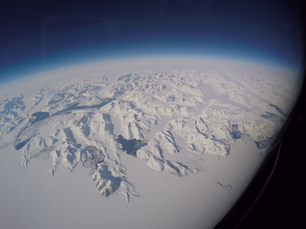
Oceans Melting Greenland (OMG) will pave the way for improved estimates of sea level rise by investigating the extent to which the oceans are melting Greenland’s ice. OMG will observe changing water temperatures and glaciers that reach the ocean around all of Greenland from 2015 to 2020.
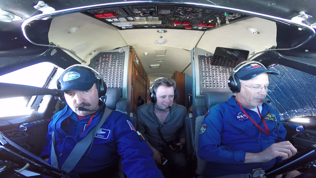
It’s a “hard down” day in Keflavik. The plane, pilots and crew are on the ground to plan future flights, process reams of data and decompress after seven straight days of flying that began with a transit from the U.S. to Greenland.
Days in the field last well beyond an eight-hour workday, and require switching back and forth from long-term planning, to near-term decision making, to handling the in-the-moment work of flying or maintaining the plane or operating the radar and flight systems.
“All together, it’s about all you can do in a day,” said pilot Dick Clark, who is based at Johnson Space Center.
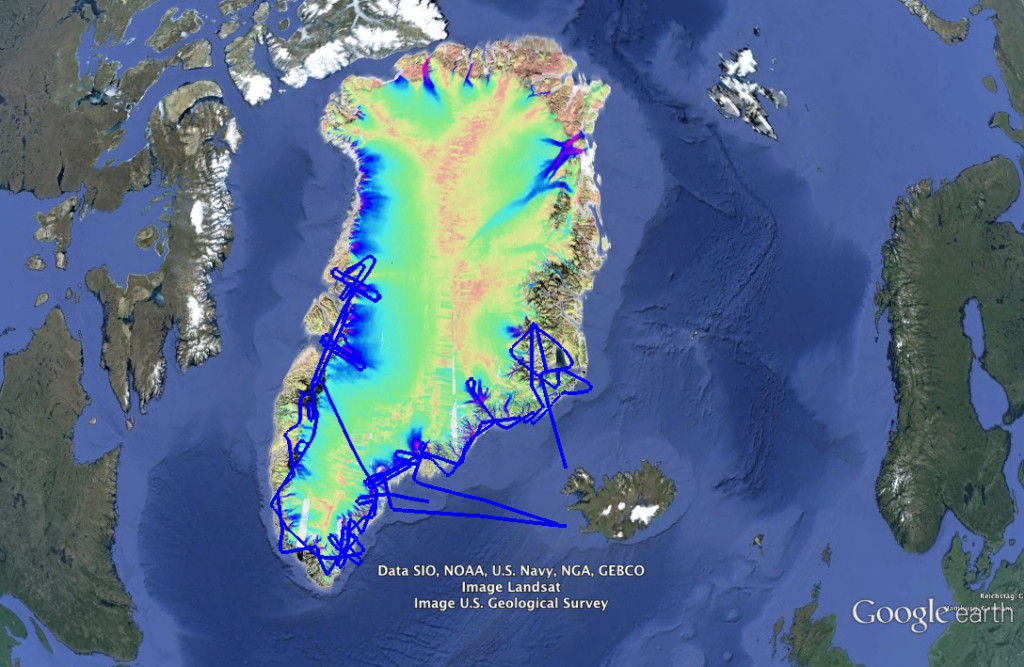
That work, though, is paying off. The OMG team has flown over about half of Greenland’s coastline in its science flights to date, gathering data that will lay the foundation for the next five years of field work and for improved knowledge of Greenland’s contribution to sea level rise.

In the next few days, the team will continue with flights from Iceland and then several flights from Thule, Greenland. Ultimately, they will cover the whole coastline of the massive island, which is three times the size of Texas. From next year until 2020, the team will fly the exact same flight lines. Five years of consecutive radar measurements will tell scientists which glaciers are thinning and by how much.

The next flight on Saturday, March 26 will take the crew to the northeast coast of Greenland. Today? Data, email and rest.
