by Linette Boisvert / PUNTA ARENAS, CHILE /
This mission, called Mid-Weddell, is probably the most complex of not only the fall 2018 Antarctic campaign but all of IceBridge.
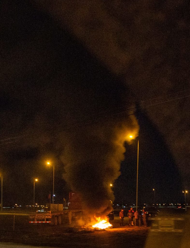
Overnight I got to take part in a truly historic Operation IceBridge (OIB) mission and I couldn’t be more happy or excited to tell you all about it! This mission, called Mid-Weddell, was probably the most complex of not only the fall 2018 Antarctic campaign but all of IceBridge. To add to this, some unforeseen issues made this particular mission difficult. Upon landing after our previous mission, we were informed that there was a local fuel trucker strike. This meant NO FUEL for all of Punta Arenas, Chile. So we had no fuel for our plane, which meant we couldn’t fly the next day and had no clue when this strike would be resolved.
The strike was resolved after a few days, but the Mid-Weddell mission was again delayed when we found out that there were cracks in the NASA DC-8 pilot’s window. A new one had to be sent from Palmdale, California, and installed before we could fly again.


After all of these added stressors, we began to worry that we wouldn’t even be able to pull off this mission because it was an overnight flight and had to be timed perfectly with an ICESat-2 satellite overpass. These two mandatory factors are not so easy to achieve based on: 1) The weather in the Weddell Sea has to be clear, as in no low or high clouds, so that ICESat-2 can see the sea ice that we are flying over; 2) there has to be a crossover of ICESat-2 in the middle of the night and in the middle of the Weddell Sea.

In order to make things easier on ourselves (please note my sarcasm here), we were also “chasing the sea ice” during this flight. Why do we need to chase the sea ice, one might ask? Because sea ice, frozen floating sea water, is constantly in motion, being forced around by winds and ocean currents. This makes it rather difficult to fly over the same sea ice as ICESat-2 because the satellite can fly over our entire science flight line in about 9 seconds, where as it takes us multiple hours to do so by plane. Thus, in order to fly over the same sea ice, the sea ice must be chased during flight.

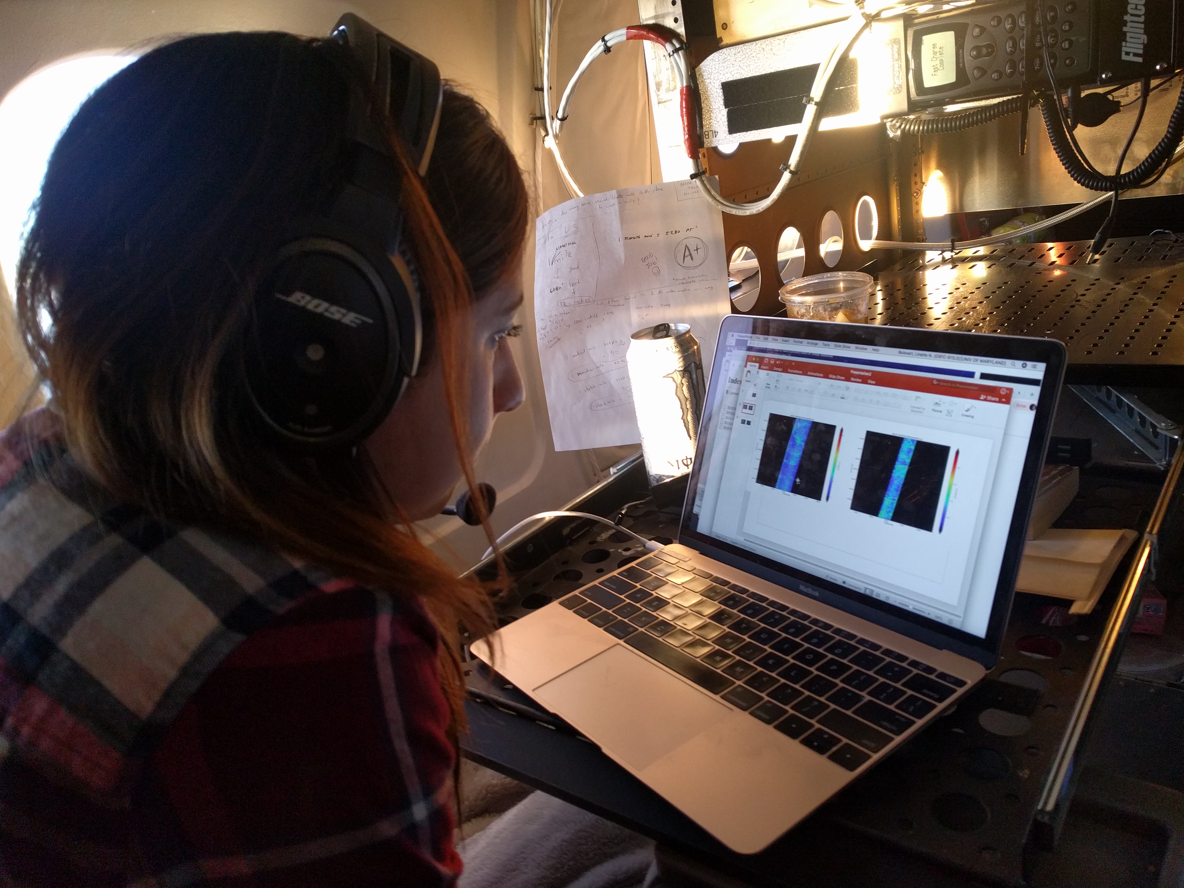
Chasing the sea ice is essentially my OIB baby project, and before this campaign I diligently worked on writing code that would take in our latitudes and longitudes along our flight path, and, depending on the wind speed, wind direction, and our altitude from the plane, determine where the sea ice that ICESat-2 flew over would have drifted by the time our plane got there. This way we could essentially fly over the same sea ice that the satellite flew over. To do this we asked the pilots to take the plane down to 500 feet (yes, 500 FEET!!) above the surface and stay there for roughly a minute in order to take wind measurements. I then plugged these values into my code program and changed our flight path so that we could fly over the same sea ice. We monitored the winds during flight, and if they changed significantly we would do this maneuver again. Now how cool is that? I was in charge of changing our flight path as we flew! Can’t say I’d ever “flown” a plane before.

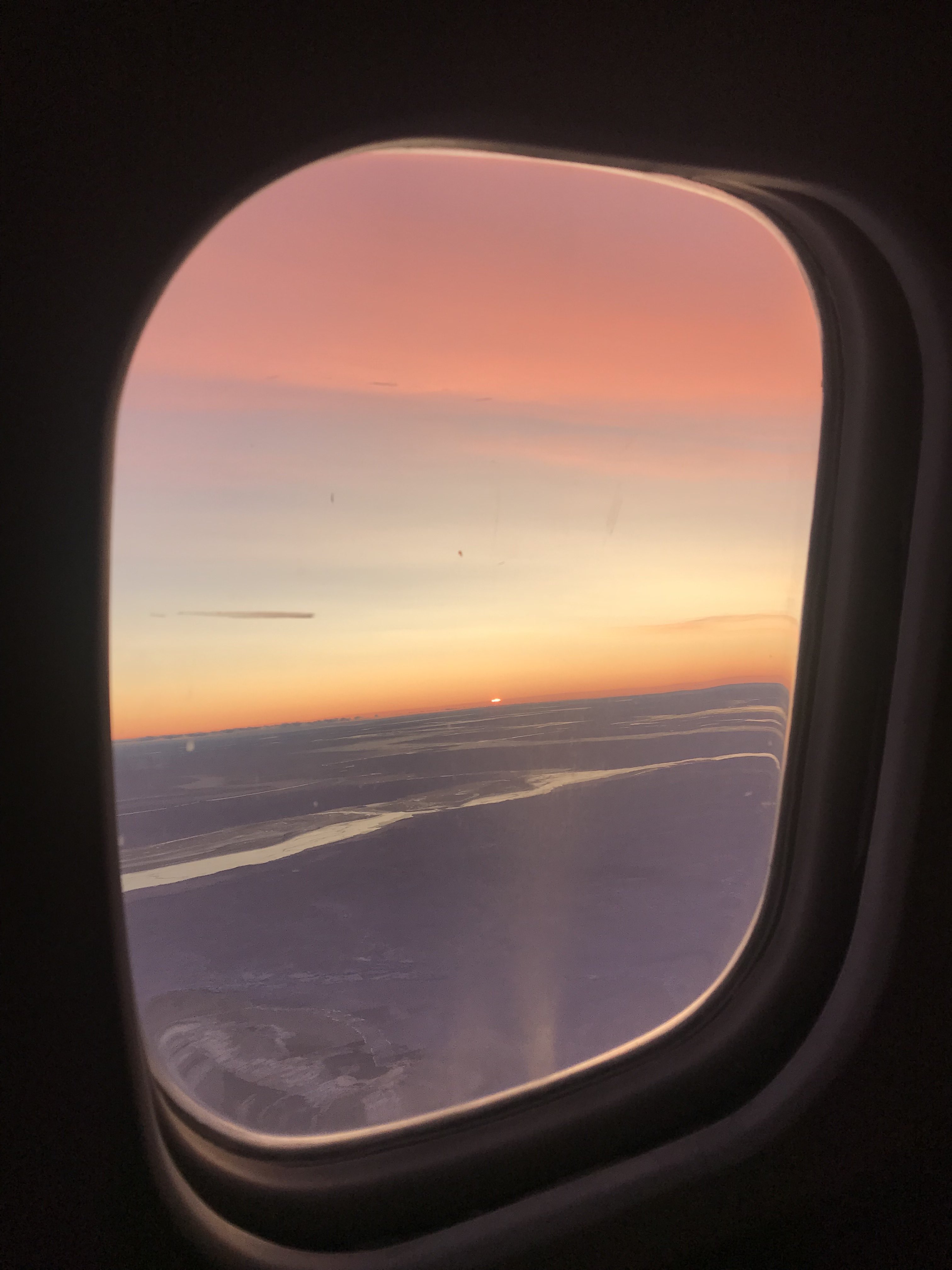
During our flight and because of our flight path we were able to see multiple sunsets and sunrises as the sun bobbed up and down across the horizon.
Since our flight was a low-light flight it had to be conducted at night, so we took off from Punta Arenas at 7pm for an 11-hour flight, heading south to the Weddell Sea. During our flight and because of our flight path we were able to see multiple sunsets and sunrises as the sun bobbed up and down across the horizon. Because of the low lighting, the sky changed from oranges to pinks to blues, making for quite the show from the DC-8’s windows. Even the land ice lovers enjoyed it.

Right before 1:35am local time, John Sonntag began a 10-second countdown, and when zero was reached, ICESat-2 crossed directly above our plane, thus “playing tag with the satellite” and making history, as it was the first time this was done since the satellite’s launch a little over a month ago. We all began chatting on our headsets about how awesome it was to be part of this mission and to be able to witness this moment. This is what OIB had been working toward since its beginning in 2009. The data gap was now successfully bridged between ICESat and ICESat-2.

Later, during the flight, I began to think about how everyone on the team really stepped up and how easily we were all able to work together to make this mission happen. I mean, we literally chased sea ice and played tag with a satellite during this flight! It took the pilots’ maneuvering, the aircraft crew’s hard work, the instrument teams’ and scientists’ steady collecting of data—everyone working together all night long—for this mission to run smoothly. I am truly grateful for everyone’s hard work and dedication and was so happy to be there that night. As we on OIB say, “Team work makes the dream work.”

