by Jenny Marder //VANDENBERG SPACE FORCE BASE, CALIFORNIA//
It’s less than four days before the planned launch of Landsat 9, and the perfect time to learn about this amazing satellite and the nearly 50-year-old Landsat program. Did you know:
Landsat gives us the longest continuous space-based record of planet Earth.
Since the first satellite launched in July 1972, the mission’s eight satellites provide five decades of information about our planet’s land and atmosphere. And they show us how our planet is changing. This will continue with the Landsat 9 launch, providing more data and higher imaging capacity than past Landsats.
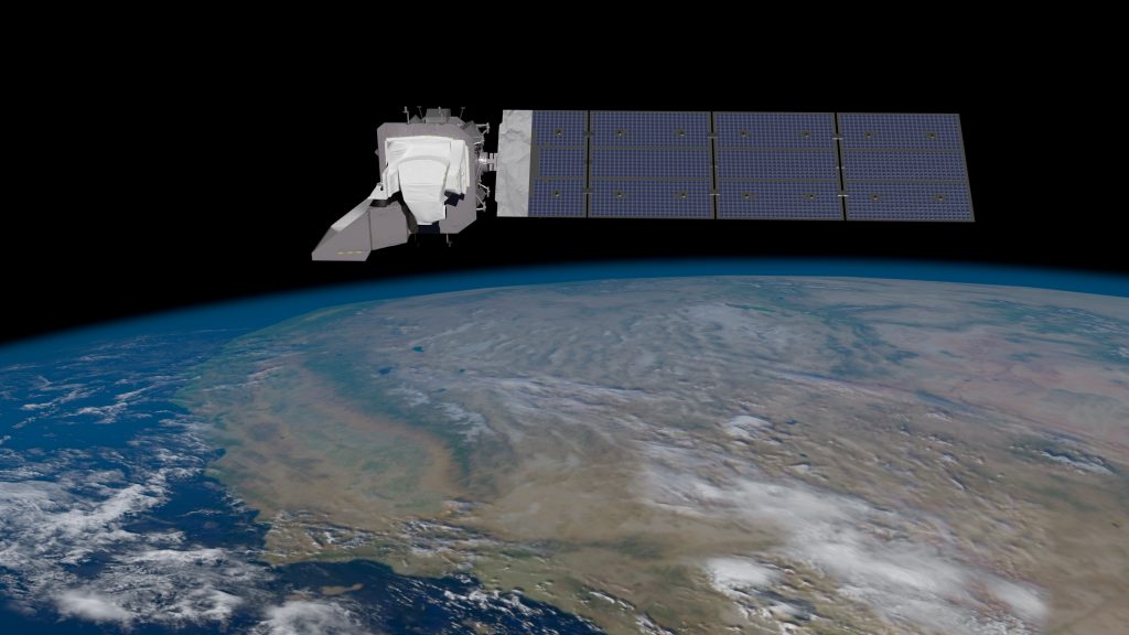
Landsat 9 will carry two science instruments …
The Operational Land Imager 2, or OLI-2, sees at a spatial resolution of 49 feet for its panchromatic band, which is sensitive to a wide range of wavelengths of light, and 98 feet for the other multispectral bands. Its image swath is 115 miles wide, with enough resolution to distinguish land cover features like urban centers, farms and forests.
The Thermal Infrared Sensor 2, also known as TIRS-2, measures land surface temperature in two thermal infrared bands using principles of quantum physics to measure emissions of infrared energy.
… and it will orbit the Earth at an altitude of 438 miles.
That’s roughly the distance between Dallas and Memphis.
Landsat has shown us how dynamic the planet is in response to human activities.
“When you grow up in an area, you don’t really notice the changes that occur over years and decades,” Dr. Jeff Masek, NASA Goddard’s Landsat 9 Project Scientist, told Dr. Alok Patel in December 2020 for PBS’s NOVA Now podcast. “But when you run the movie in fast motion, suddenly we see all these changes: urbanization and changes in forest management, areas where agricultural irrigation suddenly goes into desert environments.”
Watch this video for a Landsat roadtrip through time.
You’ll learn about the first game-changing launches in the 1970s, the advent of natural color composite images in the 1980s, the increased global coverage in the 1990s, the move to free and open data archives in the 2000s, the modern era of Landsat observations in the 2010s, and now, the launch of Landsat 9 in 2021.
And follow us here and on Twitter @NASAExpeditions this week as we count down to Landsat 9’s launch!
