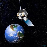
 In the Weather and Climate: Satellite Meteorology lesson, students learn how to use real-time satellite data provided by Geostationary Operational Environmental Satellites. GOES helps scientists uncover the secrets of how hurricanes form, travel, strengthen and, ultimately, how they impact us all. 2011 was an especially active year for tropical storms. Enhance your meteorology lessons with GOES videos featuring the 19 tropical cyclones that formed in the 2011 hurricane season.
To find out more about the Satellite Meteorology lesson, go to the Weather and Climate: Satellite Meteorology wall on Facebook or in NEON, go to the Weather and Climate forum.
Link to the NES Virtual Campus home page.
