Puzzles Within Puzzles

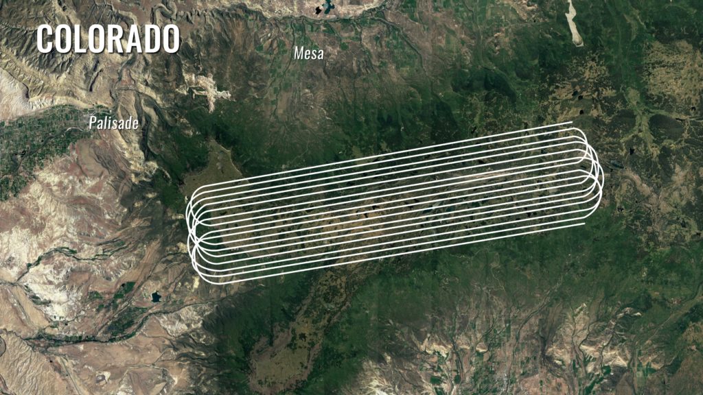
The SnowEx aircraft fly in "lines" above field sites set up on Grand Mesa, Colorado. Here, a satellite image of Grand Mesa in summer shows the topography with the flight lines superimposed on top. Credit: NASA/ Joy Ng
The SnowEx aircraft fly in “lines” above field sites set up on Grand Mesa, Colorado. Here, a satellite image of Grand Mesa in summer shows the topography with the flight lines superimposed on top.
Credit: NASA/ Joy Ng

by Ellen Gray / WESTERN COLORADO /

Eugenia De Marco loves puzzles. Her face lit up and she grinned broadly when asked what it was like to figure out how to get NASA instruments that measure snow on the ground attached and running on a Naval Research Lab P-3 plane.

“These aircraft have deliberate holes where things kind of hang off of or look out of so we can get data. But all the holes are different sizes, or in different locations in the aircraft,” she said as she described fitting aboard five unique instruments that have been designed to fit on several different types of aircraft. “These are all little puzzle pieces that you need to keep in mind when you design something.”
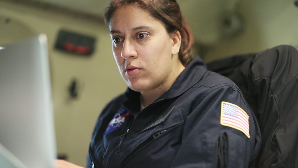
Eugenia De Marco is Snow Ex's lead integration engineer for the P-3 aircraft, responsible for each instrument aboard getting the data they need. Credit: NASA/ Joy Ng
Eugenia De Marco is Snow Ex’s lead integration engineer for the P-3 aircraft, responsible for each instrument aboard getting the data they need. Credit: NASA/ Joy Ng

As a mechanical engineer at NASA’s Goddard Space Flight Center in Greenbelt, Maryland, De Marco is part of a team that designs science instruments for airborne missions that study Earth. Many of these instruments are early versions of what may one day fly on satellites. For the past year, she has been working with a program called SnowEx, a five-year airborne campaign that is trying to figure out one of the most challenging puzzles in Earth observation: how do you measure from the air the amount of water in snow that’s on the ground?

Snow on the ground is easy to observe from space or the air, but not so easy to measure how wet or dense it is, and thus how much water may flow downstream into reservoirs and agricultural fields when it melts in the spring. One instrument is unlikely to be able to give scientists the observations they need, especially on rugged mountain slopes whose steep angels can complicate things. But many instruments, whose observations fit together like puzzle pieces to illuminate the bigger picture, just might.

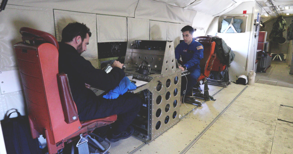
Five of those instruments were De Marco’s responsibility aboard the Naval Research Lab’s P-3 aircraft this February during SnowEx’s first trip to their testbed, the snow-covered Grand Mesa and Senator Beck Basin outside Colorado Springs, Colorado. As the lead integration engineer for the aircraft, her job during the flights was to coordinate with the pilots and the instrument scientists to make sure that each instrument collects the data it needs.
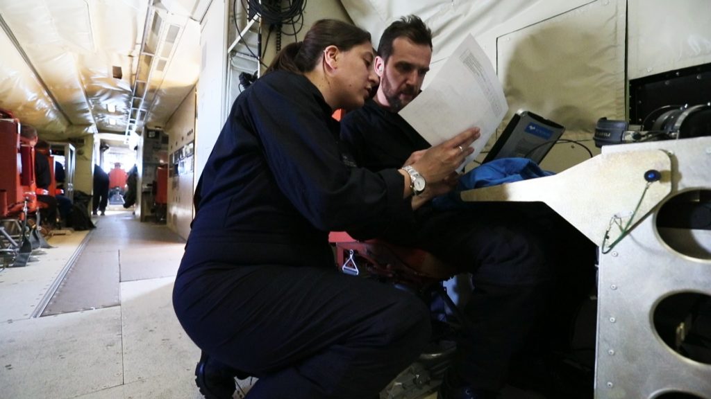
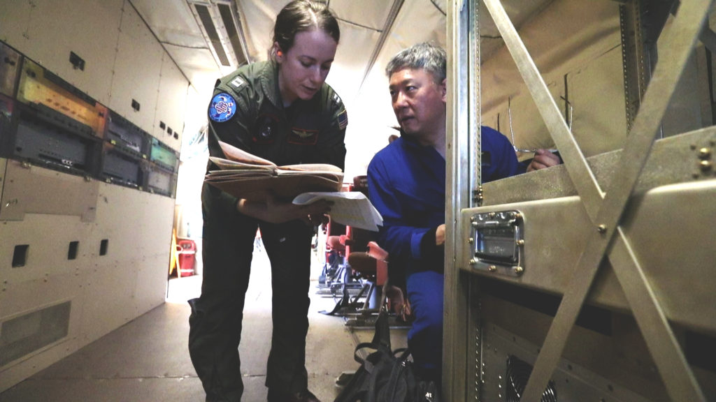
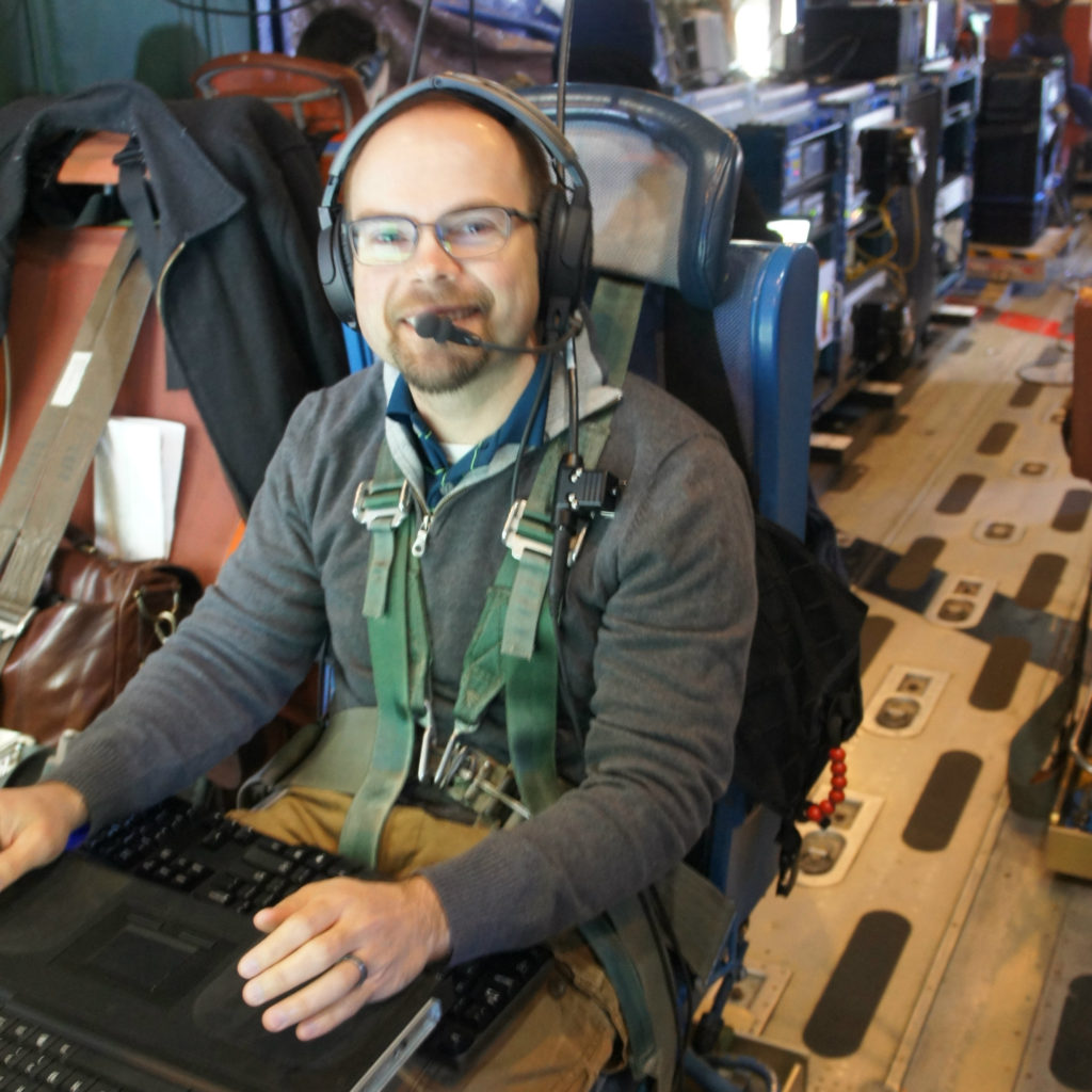
Engineer Eugneia De Marco consults with instrument scientists Alex Coccia during a SnowEx research flight aboard the Naval Research Laboratories P-3 aircraft. Feb. 16 2017. Credit: NASA/ Joy Ng
Engineer Eugneia De Marco consults with instrument scientists Alex Coccia during a SnowEx research flight aboard the Naval Research Laboratories P-3 aircraft. Feb. 16 2017.
Credit: NASA/ Joy Ng

“The pilots will call down to me and usually, in general, to everyone, ‘We’re this close to our target,’ and then I make sure everybody’s ready to go and then science starts happening. In the meantime, I keep track of every time we hit the line and start and stop [data collection],” she said.

The “line” she mentions refers to the pre-determined path the airplane flies along so that it will fly above ground stations set up by scientists below to measure snow directly. Dozens of researchers from a variety of universities and government agencies were camped out on Grand Mesa and in Senator Beck Basin, going out each day on snowmobiles, skis or snow shoes to dig snow pits or set up other sensors directly on the snow in the mountains.

“They’re doing that to compare what we’re seeing with our instruments,” De Marco said.” Our instruments will say, ‘Hey, we just saw ten feet of snow,’ and the ground will say, ‘Yep that was ten feet of snow.’ It’s a data comparison-type deal.”
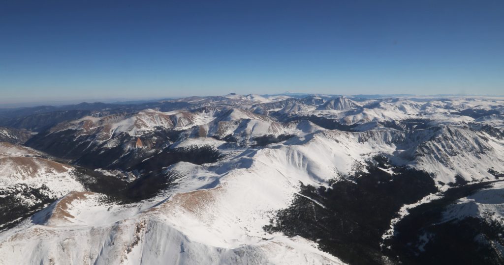
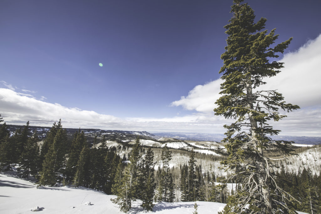
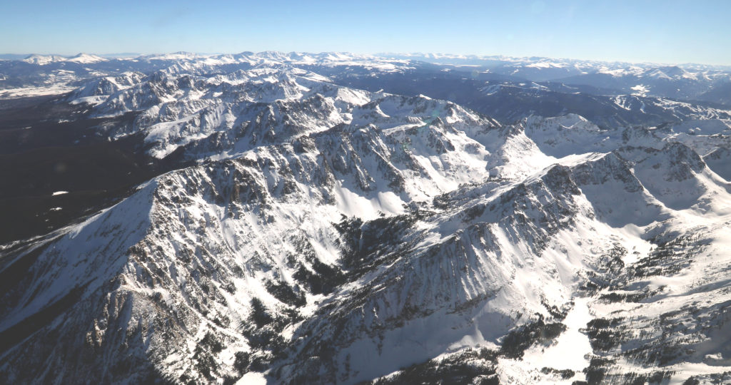
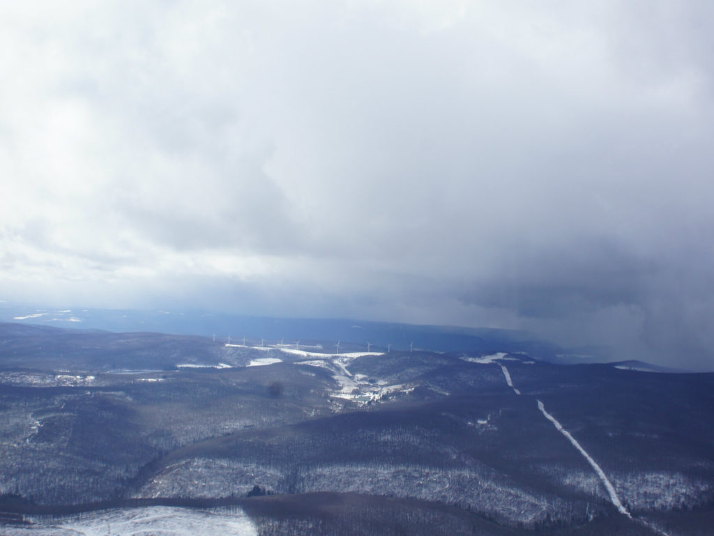
Grand Mesa in the Colorado Rockies is NASA and its partners' testbed for figuring out how much water content is in snow. Credit: NASA/ Joy Ng
Grand Mesa in the Colorado Rockies is NASA and its partners’ testbed for figuring out how much water content is in snow. Credit: NASA/ Joy Ng

On a given flight, the P-3 aircraft flies 12 lines that lasts from three to ten minutes each. One instrument that looks at how light scatters after bouncing off snow on the ground actually needs to fly in a circle around a ground station so it can capture all the angles. Sometimes problems with the instruments crop up, usually small glitches that can be fixed on board, and De Marco will rejigger the flight pattern so when the instrument is ready to go again, they can still fly over that instrument’s line.

Weather, however, is the biggest thing that can impact a flight, said De Marco. Clouds get in the way of some instruments’ observations, so the plane may try to fly above or below them depending on the instrument. Choppy air can complicate flying over the lines. When planning flights, De Marco and the science team try to fly in good conditions, but with weather over the mountains difficult to predict, they often go out in less than ideal weather and adjust their flight plan as they go.

“I think the most exciting thing is when we land and we know that we hit those lines and everything was working well and the sky looked great and the weather was great,” De Marco said. “I mean that just feels really good and makes all that hard work totally worth it.”

Flying with Friends: Operation IceBridge’s Collaboration with ESA

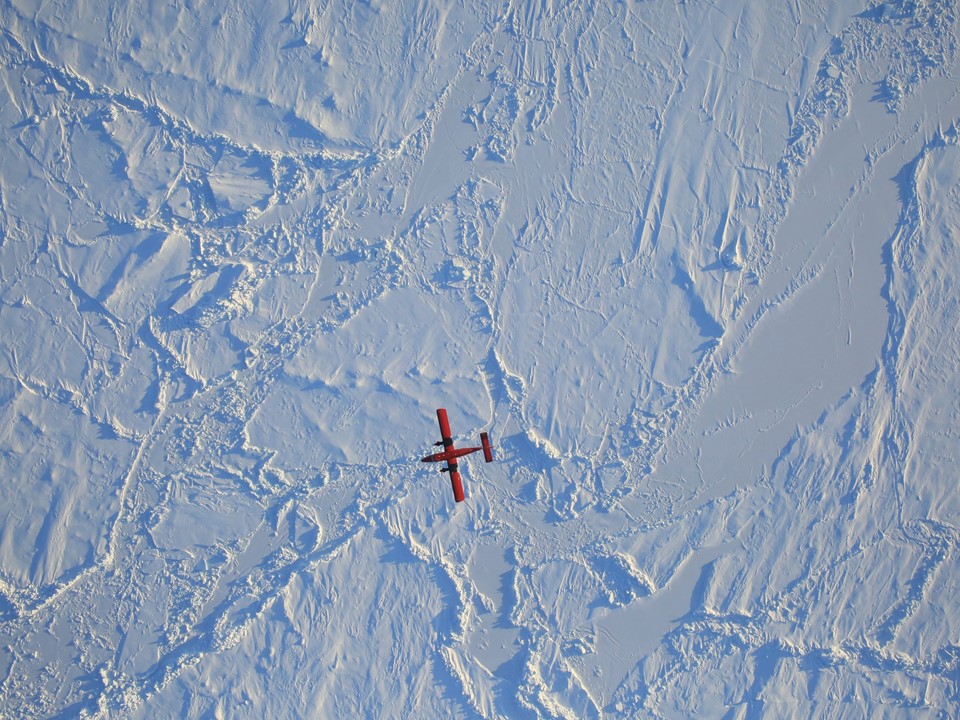
An image of ESA’s Twin Otter passing underneath the P-3, captured by Operation IceBridge’s high-resolution camera. Credit: NASA/Dennis Gearhart
An image of the European Space Agency’s (ESA) Twin Otter passing underneath the P-3, captured by Operation IceBridge’s high-resolution camera. Credit: NASA/Dennis Gearhart

by Maria-Jose Viñas / THULE, GREENLAND /

Do you remember that dreaded math problem in high school, the one where two trains left different stations traveling at different speeds toward each other and you had to calculate when and where they would meet? Now try solving a variation of this problem where the two trains are substituted with three very different aircraft—two leaving from the Canadian Arctic, one from northwestern Greenland—plus a satellite flying overhead. This was the logistical puzzle that Operation IceBridge, NASA’s airborne survey of changing polar ice, had to crack on Friday, March 24, during its ninth Arctic campaign.

The original plan had involved four planes: IceBridge’s P-3, the G-III from NASA’s Oceans Melting Greenland (OMG) campaign and two aircraft from the European Space Agency (ESA)—a Twin Otter and a Basler dubbed Polar 5, both carrying laser scanners and radars, among other instruments. The goal was for all of the planes to fly the same path over sea ice, right beneath one of ESA’s CryoSat-2 satellite tracks, while simultaneously collecting measurements so that scientists could later compare the data gathered by the different instruments on the three planes and the spacecraft’s radar altimeter.

Operation IceBridge’s P-3 at Thule Air Base. Credit: NASA/Maria-Jose Viñas

“The primary reason for the whole exercise was to cross-calibrate the CryoSat-2 radar with all of our radars and lasers,” said John Sonntag, IceBridge mission scientist. “This will allow us all to better understand the performance of our instruments and how well we perform our surveys”.

Early in the morning of Thursday, March 24, IceBridge’s P-3 and OMG’s G-III took off from Thule Air Base in northwest Greenland and headed to the Lincoln Sea, north of Canada. They were planning to rendezvous there with the two ESA planes, which were based in Alert Station, a Canadian base in Ellesmere Island, in the Canadian Arctic. Since the Twin Otter and Polar 5 were located closer to the target site, the Europeans would depart Alert four hours after the NASA planes had left Thule. But before they could take off, an unexpected fog bank rolled over Alert, shutting the airport down.

Still, IceBridge and OMG proceeded with their flight, sampling the thick multi-year ice near the Ellesmere coast and the gradient to thinner ice closer to the North Pole with their instruments: OMG’s radar mapper and IceBridge’s suite of instruments, encompassing a scanning laser altimeter that measures ice surface elevation, three types of radar systems to study ice layers and the bedrock underneath the ice sheet, a high-resolution camera to create color maps of polar ice, and infrared cameras to measure surface temperatures of sea and land ice.

The following day, the IceBridge team decided to give it another go but OMG had already exhausted its allotted flight hours and had to stay on the ground. To increase their confidence that their European collaborators would be able to fly that day, the P-3 took off one and a half hours later than it normally would have. This time, it was a success: the three aircraft flew over the CryoSat-2 track line (one a few dozen miles east of the one IceBridge and OMG had flown the day before) within 42 minutes of each other. The satellite overflew the same line just two minutes after IceBridge had completed it.

View from the P-3’s cockpit of the encounter with the Polar 5 and Twin Otter planes. Credit: NASA/Jeremy Harbeck

“Ideally, all three aircraft and the satellite would be over the same point at exactly the same time, but that’s almost impossible to do with three airplanes operating at different speeds and altitudes,” Sonntag said. “Still, we had some flexibility because the sea ice moves slowly—as long as we all flew over it within two hours, we could be sure we were all measuring the same ice.”

It will take scientists from the different teams about six months to process all the measurements before they’re able to compare them, but NASA and ESA are already calling the collaboration a success.

“This collaboration took a lot of careful coordination,” Sonntag said. “It demonstrates the commitment of ESA and NASA to work cooperatively to better understand the cryosphere.”

A ‘Dizzying Dance in the Air’ for Science

by Joy Ng / WESTERN COLORADO /

As I walked down the aisle of a plane with a camera clasped between my two sweaty palms, I had two thoughts on my mind: First, my footsteps feel very heavy; second, I hope I can film without vomiting. As you might guess, this was no ordinary flight.

Scientists Alex Coccia (left) and Albert Wu during a SnowEx science flight over Colorado. Credit: NASA/Joy Ng

Why did this flight feel like a nauseating roller coaster ride? The Navy’s P-3 Orion aircraft was outfitted with a variety of instruments that required various flying maneuvers to collect data. The plane flew back and forth in a straight line and around in tight circles. It was literally a dizzying dance in the air.

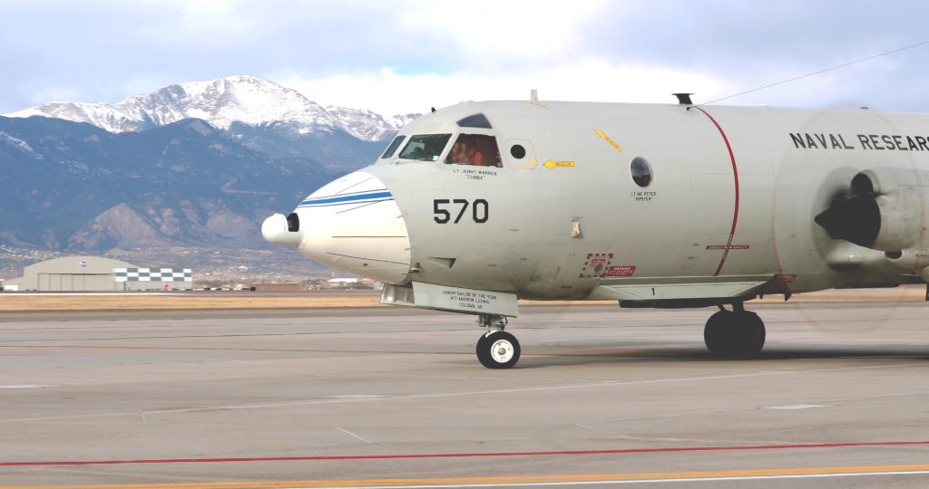
The P-3 Orion aircraft in the Peterson Air Force Base in Colorado Springs just before take-off. Credit: NASA/Joy Ng
The P-3 Orion aircraft at Peterson Air Force Base in Colorado Springs just before take-off. Credit: NASA/Joy Ng

This science flight was carried out as part of a new NASA-led campaign called SnowEx. At the moment, we have satellites that can see snow cover but no instruments in space that can accurately measure how much water they hold. Such a measurement is important, considering that roughly one-sixth of the world’s population relies on snow for their water resources. The campaign is exploring instruments and technologies for measuring snow that may eventually result in a snow-observing satellite.

One of the biggest land areas where snow falls is boreal forest, so SnowEx chose its first flights over the forests of Grand Mesa and Senator Beck Basin in western Colorado. Because leaves and branches can act like obstacles for some snow-measuring instruments, scientists are using these forests to investigate what combination of instruments can successfully measure snow over this kind of terrain.

The Grand Mesa in Colorado is one of the sites for this year’s SnowEx campaign. Credit: Ryan Cook
Grand Mesa in Colorado is one of the sites for this year’s SnowEx campaign. Credit: Ryan Cook

At the same time, scientists are working on ‘ground-truthing’ the airborne measurements. This involves more than 100 scientists measuring snow depth and density on the ground to get accurate snow measurements that can validate the measurements taken by the airborne instruments.

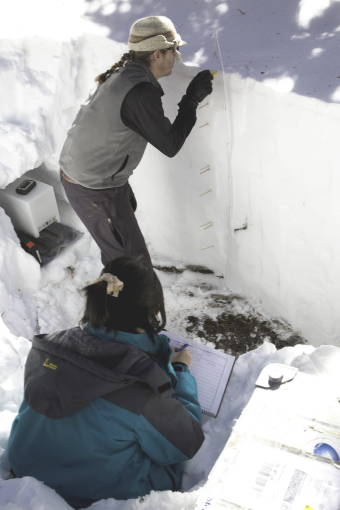
Travis Roth, Oregon State University looks at snow consistency at various depths as Jinmei Pan, Ohio State University logs data. Credit: Ryan Cook
Travis Roth, Oregon State University, looks at snow consistency at various depths as Jinmei Pan, Ohio State University, logs data. Credit: Ryan Cook

Collecting these in-flight measurements is tricky. Each instrument works at specific altitudes, over specific types of snow, and only in certain types of weather. This means that the aircrew and scientists have to work together to come up with a detailed flight plan—one that can change day to day—that allows all instruments to collect data successfully.

Lt. Denise Miller from the U.S. Navy speaks with Principle Investigator Edward Kim during a science flight. Credit: NASA/Joy Ng

While I was on the plane, most of the scientists were in seats next to their instruments. I, on the other hand, was swerving side to side as I did my own little dance to capture my shots. It’s not the ideal film set. The light is constantly changing. Every surface of the plane is vibrating and it’s very loud. In these conditions, I had one priority in mind: stabilization. Luckily, I used a handheld gimbal—an electronic device that counteracts any minor movements—that allowed me to film smooth shots while my feet were to the contrary.

The view outside of the P-3 Orion aircraft during a science flight. Credit: NASA/Joy Ng

I managed to capture some great footage and discovered that, for me, the mountaintop views were a good remedy for any motion-induced mishaps.

Sights from the ACT-America Winter Field Campaign

by Joe Atkinson / HAMPTON, VIRGINIA /

Atmospheric Carbon and Transport-America, or ACT-America, wrapped up its winter field campaign Friday, March 10, with a final set of flights out of coastal Virginia.

The campaign, which is looking at how weather systems and other atmospheric phenomena affect the movement of carbon dioxide and methane in the atmosphere around the eastern half of the United States, began Feb. 1 with two weeks of flights out of Shreveport, Louisiana. The base of operations moved twice: to Lincoln, Nebraska, then to Virginia.

ACT-America employs two aircraft outfitted with several science instruments—a C-130 based at NASA’s Wallops Flight Facility on Virginia’s Eastern Shore and a B-200 based at NASA’s Langley Research Center in Hampton, Virginia.

Principal Investigator Ken Davis of Penn State took lots of photos during the six-week field excursion. Here are a few of the sights he and a couple of the other team members captured. All photos courtesy of Davis except where noted.

Fire in the Southeast

Credit: Ken Davis
Credit: Penn State/Ken Davis

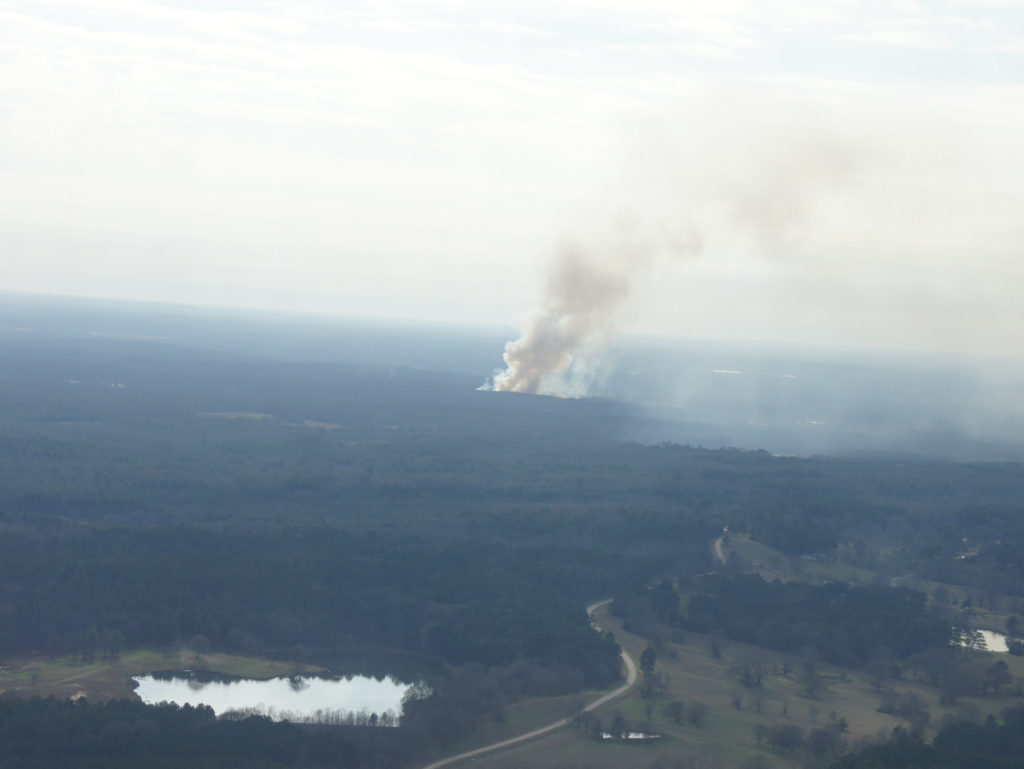
During a flight out of Shreveport, Davis took this picture of smoke rising from a fire somewhere in Alabama or Mississippi. According to Davis, there were a few fires in Gulf Coast forests in early February. Some of the most noteworthy ones were in Arkansas. “We did encounter elevated CO2 over Arkansas,” he said, “probably caused in part by the biomass burning we passed over.” 

Gulf Coast Flow

SONY DSC
Credit: Penn State/Ken Davis

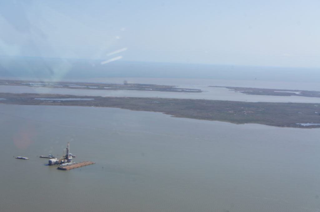
Along the Gulf Coast, Davis took this photo of what he believed to be an offshore oil facility. Facilities like this one could be sources of methane, but ACT-America wasn’t specifically attempting to detect emissions from offshore oil. Of greater interest was air flowing from the Gulf of Mexico onto the continent. “There is often onshore flow from the Gulf across the midwestern and southeastern U.S.,” he said. “That was what we wanted to measure this day.” 

Squares of White

Credit:
Credit: Bing Lin

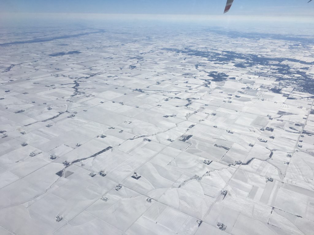
The campaign moved to Lincoln, Nebraska, in mid-February. During that midwest leg, a storm system brought a blanket of snow to the region, making for serene scenes like this one, photographed by Project Scientist Bing Lin.

Satellite Flight

Credit: Penn State/Ken Davis

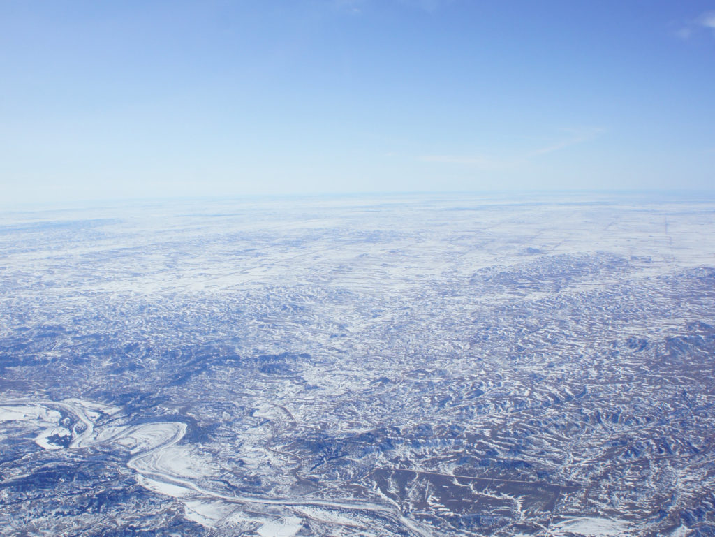
Davis took this photo over the midwest during a flight to validate remote sensing data from the Orbiting Carbon Observatory-2 (OCO-2) satellite. OCO-2 uses near infrared reflection to make its measurements of carbon dioxide. Snow is dark in the near infrared, though, meaning it’s not reflective, so satellite validation flights like this one can help researchers see how well OCO-2 is working as it collects measurements while orbiting over snow-covered land.

Down and Outlaws?

Credit: Cate Easmunt

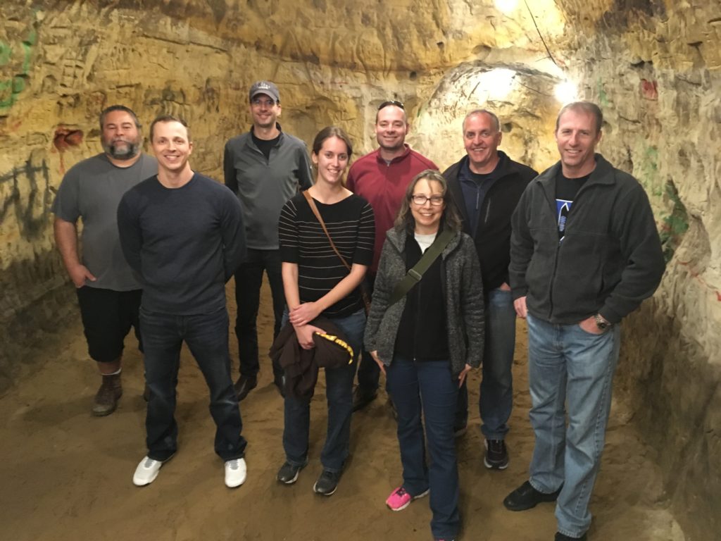
During a down day in Lincoln, a few folks from the team toured a brewery that sits above a 5,000-square-foot cave. Pictured, from left to right, are Bill Ziegelbauer, Nathan Blume, Dirk Richter, Rebecca Pauly, Matthew Elder, Cate Easmunt, Mike Wusk and Greg Slover. According to a local legend, outlaw Jesse James may have used the cave as a hideout after a heist in Minnesota. No outlaws on the ACT-America team, though. They all left the cave after the tour was over. We think. Photo courtesy of Cate Easmunt.

Reunited and … You Know the Rest

Credit: Penn State/Ken Davis

During the Mid-Atlantic leg of the campaign, Davis posed for this photo at Wallops with Hannah Halliday of NASA Langley and Bianca Baier of the National Oceanic and Atmospheric Administration. Halliday and Baier, who had both been taught by Davis at Penn State, operated instruments on the flights. “I didn’t know we’d all be in the field together,” said Davis, “and I was smart enough to get a couple of photos.”

Coal Country

Credit: Penn State/Ken Davis

Flights over the Appalachian Mountains in southwest Pennsylvania and eastern West Virginia allowed ACT-America researchers to measure carbon emissions upwind and downwind of coal and gas extraction activities in the region.

Keeping Warm

Credit: Penn State/Ken Davis

ACT-America Project Manager Mike Obland of NASA Langley wears long sleeves to keep warm on one of the flights over the Mid-Atlantic. Even on relatively warm days, temperatures on the C-130 can get chilly, particularly at higher altitudes.

That’s a Wrap

Credit: Cate Easmunt

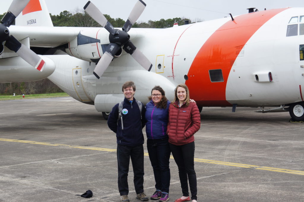
As the winter field campaign came to a close in Virginia, team members posed for this group photo by the C-130. Photo courtesy of Cate Easmunt.

ACT-America will return for a second 2017 field campaign in the fall.

Working Around the Weather

Steve Dollar (UH) heads to a benthic validation site on Maui. Credit: Stacy Peltier, BIOS
Steve Dollar (UH) heads to a benthic validation site on Maui. Credit: BIOS/Stacy Peltier

by Ali Hochberg / HONOLULU, HAWAII /

Understanding our planet and how it functions, as well as the impacts that human activities have on it, requires frequent and extended forays into the field to yield valuable data and observations. The COral Reef Airborne Laboratory (CORAL) investigation is a prime example. The three-year mission, funded by the NASA Earth Venture Suborbital-2 program, is conducting airborne remote sensing campaigns, along with in-water field validation activities, across four coral reef regions in the western and central Pacific Ocean.

“The objective is to conduct coral reef science at the ecosystem scale to find out the relationship between reef condition and the biogeophysical factors we think impact reefs,” said Eric Hochberg, CORAL principal investigator from the Bermuda Institute of Ocean Sciences, St. George’s, Bermuda. “With that understanding, we can build models to help scientists, resource managers and politicians gain a new perspective on reef function and better predict how natural and human processes will shape the future of reefs.”

When CORAL traveled to Hawai‘i last month for its second field campaign, it already had nearly a year of the mission under its belt. The Operational Readiness Test (ORT) took place in Hawai‘i last summer and the team completed a successful first field campaign in Australia’s Great Barrier Reef last fall. During both, communications between the airborne and field teams were streamlined, field operations and equipment deployments were tested and refined, and team members gained valuable experience working with both equipment and each other.

Eric Hochberg (BIOS), Bob Carpenter (CSUN) and Yvonne Sawall (BIOS) hold a team meeting before heading out to the field. Credit: NASA/James Round

Even with years of planning and preparation, however, such ventures are always undertaken with the knowledge that some variables are out of the researchers’ control. For the CORAL team, there was one thing they couldn’t prepare for in Hawai‘i: the weather.

While the in-water field teams can—and do—work in what are often considered adverse conditions, the weather can still take a toll on the instruments left in the water to collect data.

“Our metabolism work on the fore reef of Kāneʻohe Bay was going well until a large north swell wrapped around to the windward side and toppled one of our gradient flux instrument stands,” said Robert Carpenter, CORAL co-investigator from California State University Northridge and leader of the reef metabolism team. “Luckily, it happened during the night before we were going to pick the instruments up, so we did not lose any data and the instruments were not damaged. Because of the swell, we continued the remainder of our data collection in the back reef and lagoon. So much for a calm time of the year!”

Brandon Russell (UCONN) checks instrumentation before a field deployment. Credit: BIOS/Stacy Peltier

Unlike the in-water teams, the airborne operations for CORAL require substantially fairer conditions. The PRISM (Portable Remote Imaging Spectrometer) instrument that forms the backbone of the CORAL science is housed in the belly of a Gulfstream-IV airplane that flies over survey areas at an altitude of 28,000 feet. In order to obtain the most accurate spectral data possible from the seafloor, the airplane must fly in relatively cloudless skies with low surface winds over clear waters.

“One of the biggest operational challenges that the CORAL Hawai‘i campaign faces is the weather,” said CORAL project engineer Ernesto Diaz from NASA’s Jet Propulsion Laboratory, Pasadena, California. “For optimal data, a clear line of sight between the sun and the coral reefs is necessary, making clouds CORAL’s biggest enemy. Hawai‘i’s tropical location, the drastic topography differences within each island, and the trade winds, are some of the factors that make forecasting clear weather days particularly tricky. A clear day over an entire island is uncommon so we usually plan for collections over portions of the islands that have the best clear sky forecast, i.e. windward, or leeward sides. All of these factors make a successful data collection flight very rewarding.”

CORAL scientists also had to contend with a significant rain event over the region in late February as a slow-moving storm system dumped rain on the islands for two straight days and caused urban flooding in many areas. These floodwaters, originating on land and emptying into the surrounding ocean, led to a significant amount of soil runoff in areas. The additional sediment in the waters reduced water clarity and, as a result, impacted the ability of the PRISM instrument to “see through” the water to the seafloor.

A view from the water of the lush vegetation on Maui. Credit: BIOS/Stacy Peltier

Despite these challenges, the CORAL team was able to complete in-water validation activities in Kāneʻohe Bay and collect flight lines over the Big Island (the island of Hawai‘i), Maui, O‘ahu, Kaua‘i, Ni‘ihau, Moloka‘i, Lana‘i, and Kaho‘olawe. The benthic team also visited Maui and the Big Island to gather data for various benthic communities not represented in Kāneʻohe Bay.

“It was nerve-racking checking the weather forecasts each day and following the progress of the airplane, hoping for clear skies and calm waters over the different islands where we needed PRISM data,” said Hochberg. “We got some good breaks, though, and the Hawai‘i campaign was successful. Next month we get to start it all over again in Guam and Palau. I’m looking forward to it!”