by Linette Boisvert / NASA WALLOPS FLIGHT FACILITY, VIRGINIA /
Linette Boisvert is a sea ice scientist at NASA’s Goddard Space Flight Center in Greenbelt, Maryland, and researcher with Operation IceBridge. The mission of Operation IceBridge, NASA’s longest-running airborne mission to monitor polar ice, is to collect data on changing polar land and sea ice and maintain continuity of measurements between ICESat missions. This blog describes test flight activities before the mission’s spring Arctic ice survey, which began on March 22 and will be ongoing through most of April.
For more about Operation IceBridge and to follow future campaigns, visit: http://www.nasa.gov/icebridge
Thursday, March 15, 2018
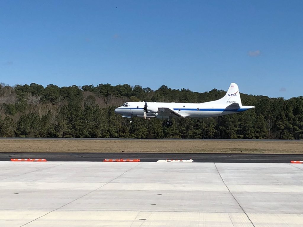
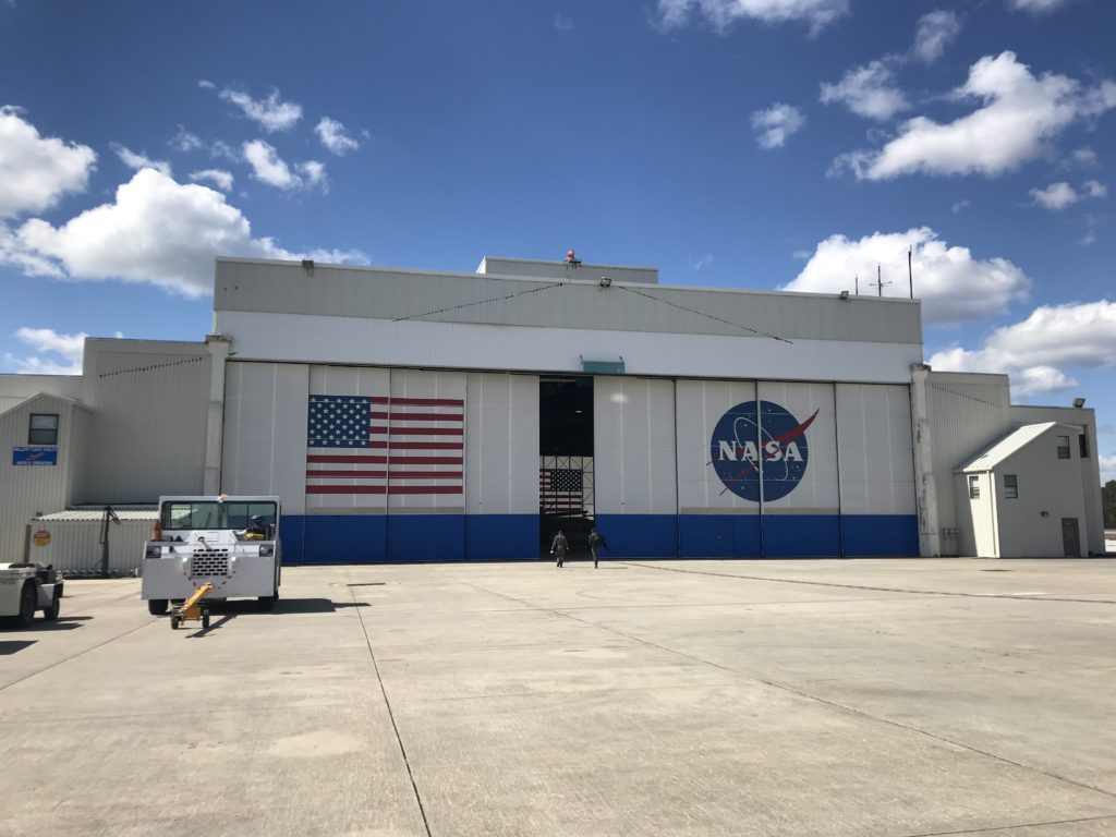
I woke up not as optimistic as the morning before. With the previous flight’s turbulence and motion sickness, I was not looking forward to some of the maneuvers that we were going to do. But I reluctantly went back to Wallops and got back on NASA’s P-3 Orion research aircraft. The plane was a lot less crowded for the radar test flights. A few of my friends poked fun at my vomiting on the previous flight, and I jabbed back, saying, “Take a cookie, they taste just as good going down as they do coming back up.” Yes, I still had cookies to dole out. After this, I immediately went to the cockpit to apologize to the pilots and flight engineer for puking where they work.
This flight was to test the Center for Remote Sensing of Ice Sheets (CReSIS) radar. The CReSIS radar on OIB is used to determine the thickness of the snow pack on top of the sea ice and the different accumulated layers of snow on the Greenland Ice Sheet. The flight would be six hours in duration and would fly south to Norfolk, Virginia, then turn due east and head 200 miles out to sea to do the maneuvers that were required by the radar teams. These maneuvers consisted of slow rolls, quick, 60-degree rolls at 1 degree per second, and elevation-change maneuvers (ups and downs). Those aboard assured me that this flight would be much smoother due to the higher altitude (~20,000 feet) and the fact that we would be flying over the ocean.
They did not disappoint! This flight was smooth and unlike any flight I have ever experienced. I spent a lot of time in the cockpit for the best views and also because it was much warmer there than the rest of the plane. I must admit, I was a little nervous that I might have motion sickness again, but thankfully I did not. I began talking with the P-3 flight engineer Brian Yates and he let me sit in his seat for about 30 minutes. This is the best seat in the house—in the middle of the cockpit—and might I add that it reclines! This is a luxury not afforded to ANY of the other seats on the P-3.
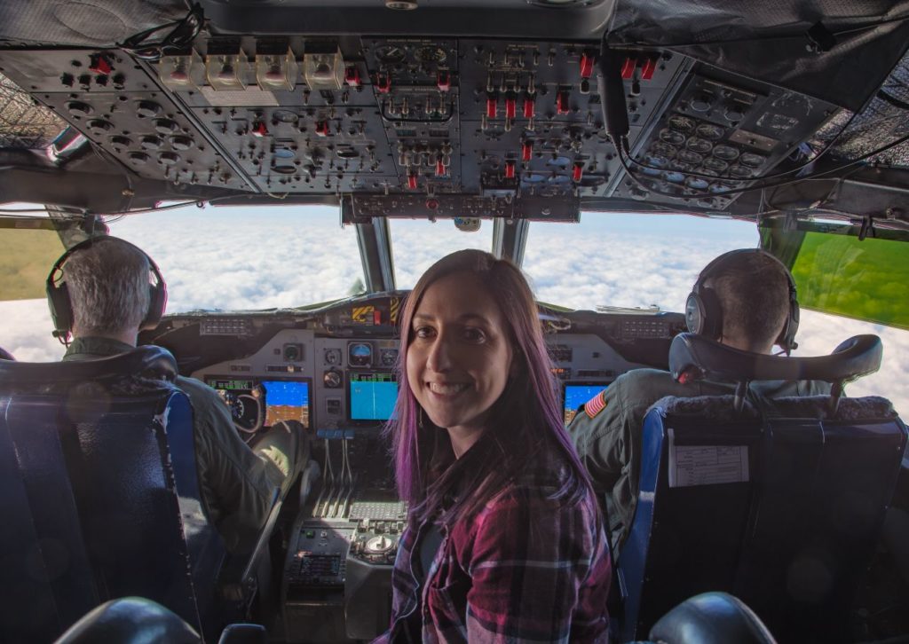
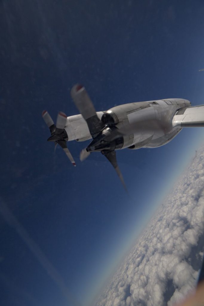
Credit: NASA/Jeremy Harbeck
The first time they did a rolling maneuver you could feel the g-force on you, and as the blood was being pushed from your head, it felt as if you could not move your feet from the ground. It was a very interesting feeling and I felt a little like an astronaut. For the faster, 60-degree rolls, they had me stay in the cockpit. I was a little nervous for what I was in for.
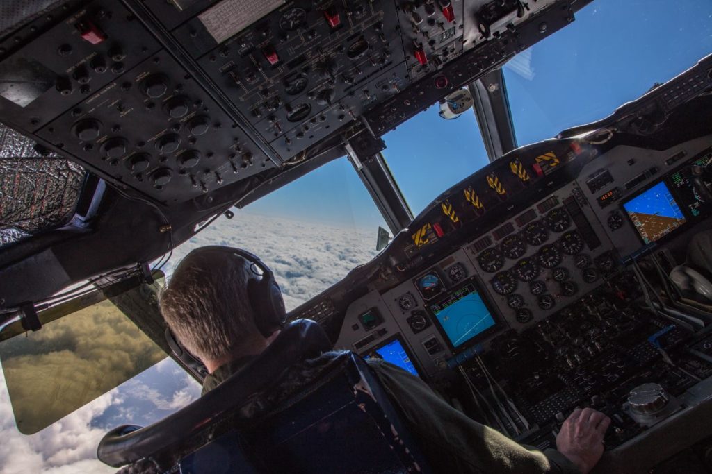
These rolling maneuvers were kind of like being on a carnival ride, and the back-and-forth lulling motions kind of made me feel like I was being rocked to sleep. During this time, I looked back from the cockpit into the rest of the plane and noticed on John Sonntag’s computer our flight line, or as John puts it, “the pilots are drunk” type of flight path, and laughed.
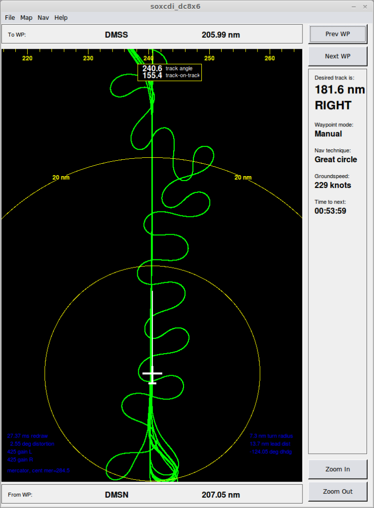
Credit: NASA/John Sonntag
Afterward were the up and down maneuvers at different elevations. Again, I was seated in the cockpit, and this felt more like being on a rollercoaster. What I thought was the most interesting aspect of this maneuvering was flying into the cumulus—puffy, cotton candy clouds—and getting to experience it head-on from the cockpit. The updrafts and downdrafts present in the clouds, produced by the mixing of air causing condensation and creation of water droplets to sustain themselves, made for a little turbulence, although nothing like what was witnessed on the prior flight. During landing I was able to sit on my ledge in the cockpit, which is always a thrill. Luckily, the landing was smooth and we were back at Wallops Flight Facility.
Throughout all of this the CReSiS radar teams were working frantically, all huddled around the workstation of remote sensing expert John Paden from the University of Kansas. It appeared as if they were having problems, but if they were, they must have resolved any issues because radar data were successfully collected and calibrated during the flight.
As Melinda and I drove back to NASA Goddard Space Flight Center, located in the concrete jungle of the D.C.-Maryland suburbs, much different from the coastal, rural area surrounding Wallops, we reminisced how much fun the test flights were and how it is always so fascinating to see exactly how the instrument teams work and how the data are collected—data that we use to study the rapidly changing conditions of the Arctic sea ice.
It is also so inspiring to see how dedicated these people are to their jobs and to the OIB mission itself. They spend multiple months away from home in the Arctic and Antarctic, collecting data for scientists and the public to use. During this time they become a family, a cohesive unit, working together to complete successful flights. In some ways, they are like P-3 cowboys riding into the great unknown, wrangling this vastly important data for those of us sitting behind a desk on the ground to use and study. They are the true heroes, and for this we are truly grateful.
