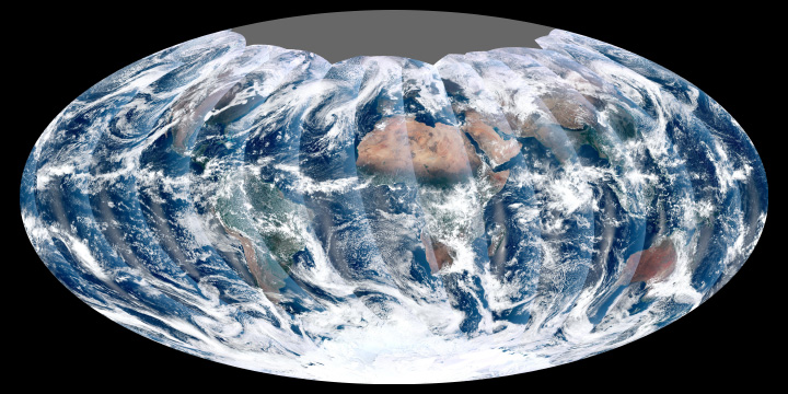
 The Visible Infrared Imager Radiometer Suite on board NPOESS Preparatory Project, or NPP, NASA’s newest Earth-observing satellite, acquired its first measurements on Nov. 21, 2011. The resulting high-resolution image shows a broad swath of eastern North America, from Canada’s Hudson Bay past Florida, to the northern coast of Venezuela in South America.
To view this image and read more, visit: https://www.nasa.gov/mission_pages/NPP/news/viirs-firstlight.html.
To learn more about the NPP mission and how NASA keeps satellites in orbit, check out NASA Now: Orbital Mechanics: Earth Observing Satellites, which is on the NASA Explorer Schools Virtual Campus.
When you’re planning to teach the NES lessons “Weather and Climate: Satellite Meteorology” or “Meteorology: How Clouds Form,” check the NPP website to get updated information and imagery.
Link to the NES Virtual Campus home page.
