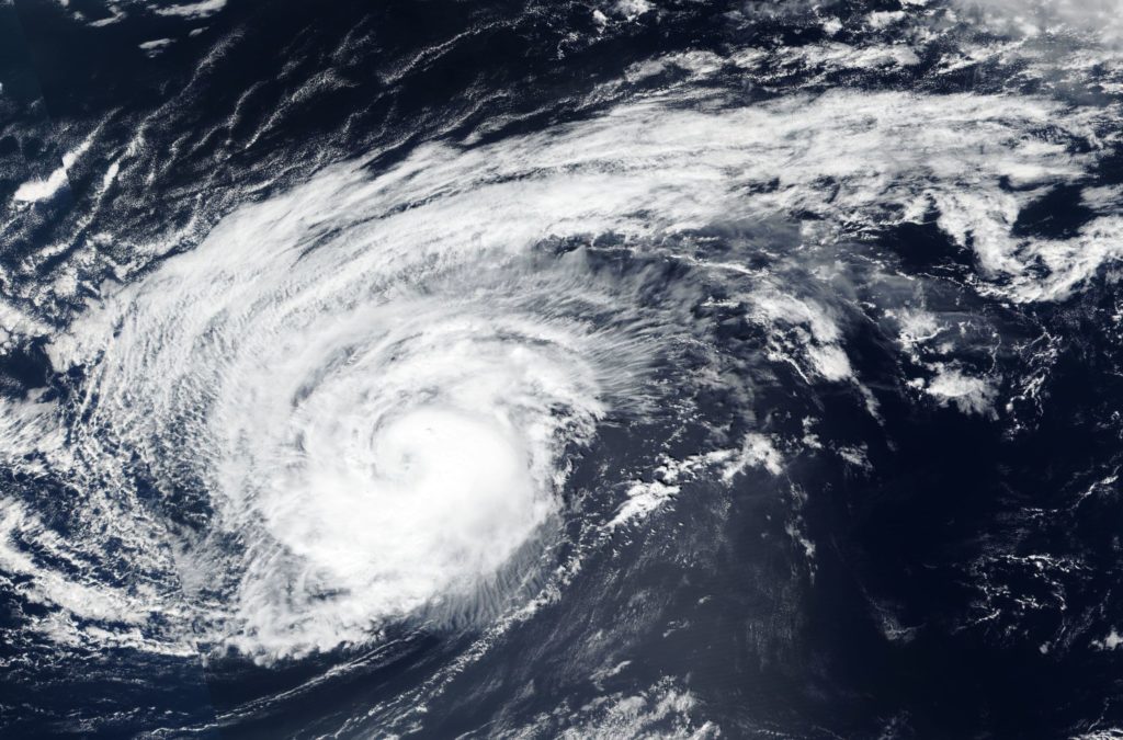
Oct. 11, 2018 – NASA-NOAA’s Suomi-NPP Satellite Finds Hurricane Leslie’s Ragged Eye
Hurricane Leslie had a ragged eye on imagery from NASA-NOAA’s Suomi-NPP satellite when it passed over the Eastern Atlantic.

On Oct. 10, the Visible Infrared Imaging Radiometer Suite (VIIRS) instrument aboard NASA-NOAA’s Suomi-NPP satellite looked at Leslie in visible light. Leslie is a large storm with a large area of powerful thunderstorms circling the ragged eye. Hurricane-force winds extend outward up to 30 miles (45 km) from the center and tropical-storm-force winds extend outward up to 240 miles (390 km).
On Oct. 11, the National Hurricane Center said that Leslie’s structure has remained steady since the night of Oct. 10. The hurricane has a ragged banding eye surrounded by a somewhat patchy central dense overcast.
At 11 a.m. EDT (1500 UTC), the center of Hurricane Leslie was located near latitude 29.1 degrees north and longitude 38.3 degrees west. That’s about 895 miles (1,440 km) southwest of the Azores Islands. The National Hurricane Center or NHC noted that Leslie is moving toward the east-northeast near 16 mph (26 kph), and this general motion with some increase in forward speed could begin by late Saturday, Oct. 13. Maximum sustained winds are near 80 mph (130 kph) with higher gusts. Little change in strength is forecast during the next 48 hours, but weakening is expected over the weekend.
Leslie is now accelerating east-northeastward on the south side of a mid-latitude trough (elongated area of low pressure) that is moving across the North Atlantic. By 48 hours (Oct. 13) and onward, Leslie will be moving into a far more stable environment and over cooler waters, so steady weakening is anticipated.
For updated forecasts, visit: www.nhc.noaa.gov
