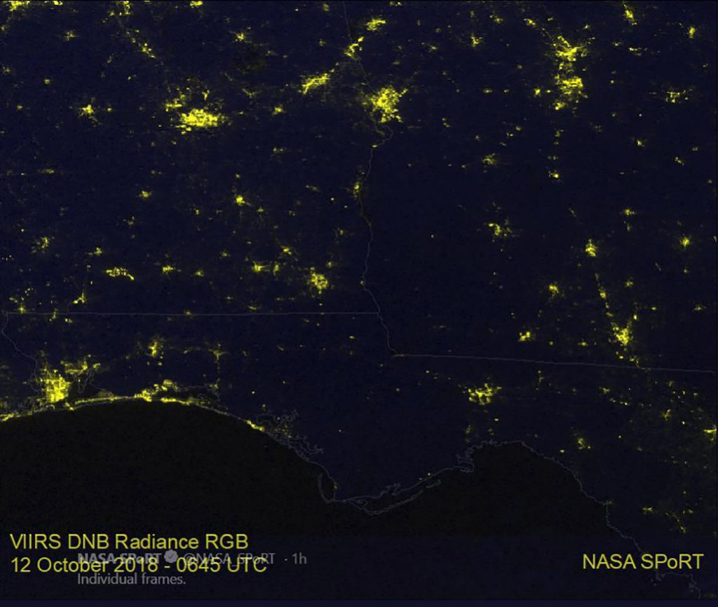
Oct. 12, 2018 #1 – Hurricane Michael’s Path of Power Outages Seen by Satellite

To view the slider of the before and after images, click this link: https://www.nasa.gov/feature/goddard/2018/hurricane-michaels-path-of-power-outages-seen-by-satellite
On Oct. 12 at 2:45 a.m. EDT (0645 UTC) the VIIRS instrument aboard NOAA’s NOAA-20 satellite captured a view of the change in night-time lights in the area of the Florida Panhandle and Georgia where Hurricane Michael traveled, knocking out power. The right image taken after Michael made land (taken on October 12) is compared to an image taken Oct. 6 at 2:58 a.m. EDT (0658 UTC) to show the difference.
For more information: https://weather.msfc.nasa.gov/sport
Credit: NOAA/NASA MSFC, SPoRT
