Sergio (Eastern Pacific Ocean)

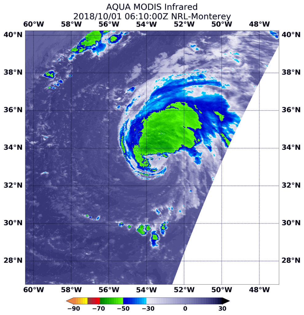
Oct. 01, 2018 – NASA Finds Tropical Storm Sergio on the Verge of Hurricane Status

The National Hurricane Center noted that Tropical Storm Sergio was on the verge of becoming a hurricane in the Eastern Pacific Ocean and NASA’s Aqua satellite confirmed very powerful storms within.

Aqua image of Sergio
Infrared satellite data captured at 5:30 a.m. EDT (0930 UTC) on Oct. 1 from NASA’s Aqua satellite revealed strongest storms with the coldest cloud top temperatures west of Sergio’s center and in a band of thunderstorms southwest of the center. MODIS found coldest cloud tops had temperatures near minus 70 degrees Fahrenheit (minus 56.6 degrees Celsius). Credit: NASA/NRL

Infrared satellite data captured at 5:30 a.m. EDT (0930 UTC) on Oct. 1 from the Moderate Resolution Imaging Spectroradiometer or MODIS instrument aboard NASA’s Aqua satellite revealed strongest storms with the coldest cloud top temperatures west of Sergio’s center and in a band of thunderstorms southwest of the center.  MODIS found coldest cloud tops had temperatures near minus 70 degrees Fahrenheit (minus 56.6 degrees Celsius). NASA research has found that cloud top temperatures that cold have the capability to generate heavy rainfall.

At 11 a.m. EDT, the National Hurricane Center or NHC noted, “Sergio is almost a hurricane. Satellite images indicate that the central convection has been increasing in intensity during the past several hours, but there are still no indications of an eye in that data.  Microwave imagery does show an eye feature, however. The outer bands are not particularly well organized, and there are some dry slots beyond the inner core.”

The center of Tropical Storm Sergio was located near latitude 11.5 degrees north and longitude 109.5 degrees west.  Sergio is far from land, so there are no coastal advisories in effect. It is about 625 miles (1,000 km) southwest of Manzanillo, Mexico. Sergio is moving toward the west near 14 mph (22 kph), and this general motion is forecast to continue through tonight.  A turn toward the west-northwest is expected on Tuesday. Maximum sustained winds remain near 70 mph (110 kph) with higher gusts.

NHC noted that “Strengthening is expected during the next 48 hours, and Sergio is forecast to become a hurricane later today, and a major hurricane by Wednesday, Oct. 3.”

For updated forecasts, visit: www.nhc.noaa.gov

By Rob Gutro (with information from the NHC)
NASA Goddard Space Flight Center

Leslie (North Atlantic Ocean)

Oct. 01, 2018 – NASA Finds Bulk of Tropical Storm Leslie’s Storms Northwest of Center

Infrared imagery from NASA’s Aqua satellite showed the location of the strongest storms in reborn Tropical Storm Leslie is it moved through the Central North Atlantic Ocean.

Aqua image of Leslie
Infrared satellite data at 2:10 a.m. EDT (0610 UTC) on Oct. 1 from NASA’s Aqua satellite revealed strongest storms with the coldest cloud top temperatures (yellow) were northwest of Leslie’s center. MODIS found coldest cloud tops had temperatures near minus 63 degrees Fahrenheit (minus 53 degrees Celsius). Credit: NASA/NRL

Subtropical Storm Leslie formed in the Central North Atlantic Ocean on Sept. 23. It faded out on Sept. 25 but was reborn as a Subtropical storm on Sept. 28. Since then, it has transitioned into a warm-core, tropical storm.

Infrared satellite data captured at 2:10 a.m. EDT (0610 UTC) on Oct. 1 from the Moderate Resolution Imaging Spectroradiometer or MODIS instrument aboard NASA’s Aqua satellite revealed strongest storms with the coldest cloud top temperatures northwest of Leslie’s center.  MODIS found coldest cloud tops had temperatures near minus 63 degrees Fahrenheit (minus 53 degrees Celsius). NASA research has found that cloud top temperatures that cold have the capability to generate heavy rainfall.

At 11 a.m. EDT, the National Hurricane Center or NHC noted, “Leslie is gradually becoming better organized.  A large band of deep convection exists on the west side of the circulation and some fragmented bands are beginning to form on the east side.  Overall, Leslie appears more symmetric than it has been during the past couple of days due to a decrease in wind shear.”

At 11 a.m. (1500 UTC), on Oct. 1 the center of Tropical Storm Leslie was located near latitude 33.2 degrees north and longitude 54.3 degrees west. That’s about 615 miles (85 km) east of Bermuda. Leslie is moving toward the west-southwest near 5 mph (7 kph).  A slow southwestward or southward motion is forecast during the next few days. Maximum sustained winds are near 60 mph (95 km/h) with higher gusts.

The National Hurricane Center said, “Gradual strengthening is expected during the next 48 hours, and Leslie is forecast to become a hurricane on Tuesday (Oct. 2).”

For updated forecasts, visit: www.nhc.noaa.gov

By Rob Gutro (with information from the NHC)
NASA Goddard Space Flight Center