Under the Cover of Night NASA Finds Tropical Storm Kyle Develop, Strengthen
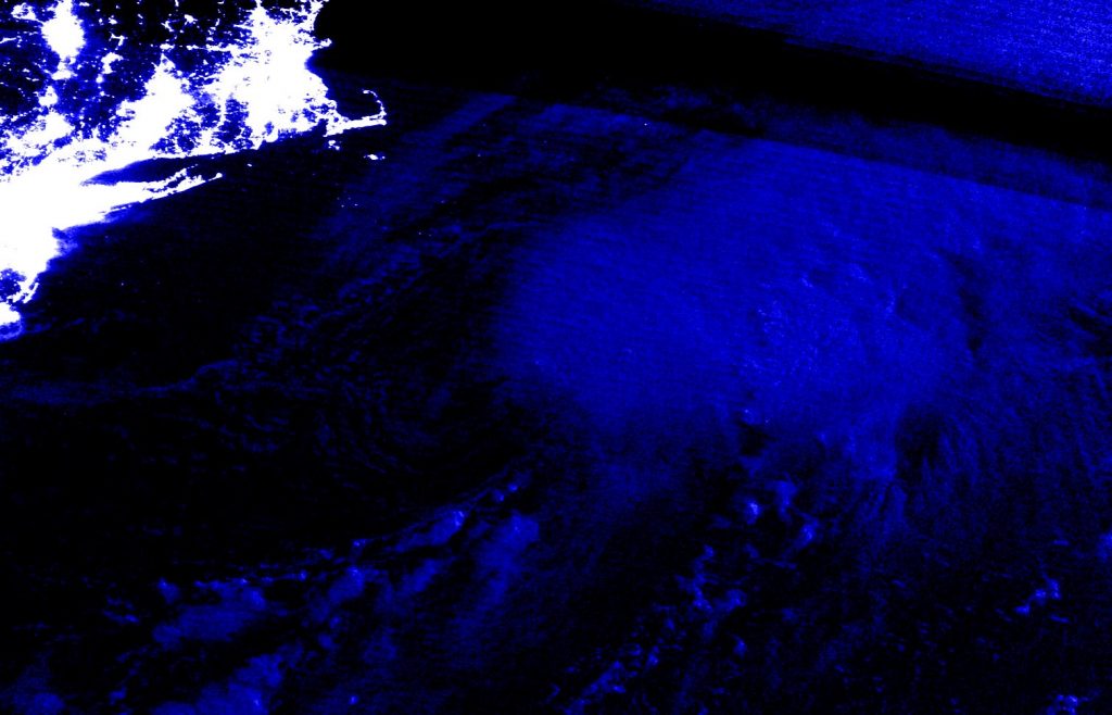
NASA satellites keep a watchful eye over the Earth day and night to help scientists and forecasters. NASA-NOAA’s Suomi NPP satellite provided a night-time image of the development of Tropical Storm Kyle off the coast of New England.
Kyle is the eleventh tropical storm of the Atlantic Ocean hurricane Season. Kyle formed around 5 p.m. EDT on Aug. 14 about 185 miles (300 km) southeast of Atlantic City, New Jersey. Kyle moved to the north-northeast and strengthened under the cover of night.
NASA Imagery at Night
Infrared instruments enable satellites to gather imagery on storms at night because they read temperature. At NASA’s Goddard Space Flight Center in Greenbelt, Md. an infrared image of Tropical Storm Kyle was captured by the VIIRS instrument aboard NASA-NOAA’s Suomi NPP satellite. The storm formed despite being battered by westerly wind shear, that is winds outside the storm blowing from the west and pushing the bulk of clouds to the east of the center.
NOAA’s National Hurricane Center (NHC) noted, “The low-level center of Kyle continues to be exposed to the west of the deep convection, as strong westerly shear prevails. Although the satellite appearance is not that impressive, the circulation is well intact as indicated by a recent ASCAT overpass that reveals that the initial intensity remains 40 knots (45 mph).”
The image was created using NASA’s Worldview application. NASA’s Earth Observing System Data and Information System (EOSDIS) Worldview application provides the capability to interactively browse over 700 global, full-resolution satellite imagery layers and then download the underlying data. Many of the available imagery layers are updated within three hours of observation, essentially showing the entire Earth as it looks “right now.”
Tropical Storm Kyle on Saturday, August 15, 2020
The National Hurricane Center (NHC) noted at 5 a.m. EDT (0900 UTC), the center of Tropical Storm Kyle was located near latitude 38.7 degrees north and longitude 68.0 degrees west. That’s about 280 miles (450 km) southeast of Providence, Rhode Island.
Kyle is moving toward the east-northeast near 21 mph (33 kph), and this general motion is expected to continue for the next couple of days. A turn to the east along with an increase in forward speed is expected early next week. The estimated minimum central pressure is 1002 millibars. Maximum sustained winds are near 45 mph (75 kph) with higher gusts. Some additional strengthening is possible during the next day or so.
Kyle is forecast to become post-tropical on Sunday.
NASA Researches Tropical Cyclones
Hurricanes/tropical cyclones are the most powerful weather events on Earth. NASA’s expertise in space and scientific exploration contributes to essential services provided to the American people by other federal agencies, such as hurricane weather forecasting.
For more than five decades, NASA has used the vantage point of space to understand and explore our home planet, improve lives and safeguard our future. NASA brings together technology, science, and unique global Earth observations to provide societal benefits and strengthen our nation. Advancing knowledge of our home planet contributes directly to America’s leadership in space and scientific exploration.
For updated forecasts, visit: www.nhc.noaa.gov
By Rob Gutro
NASA’s Goddard Space Flight Center