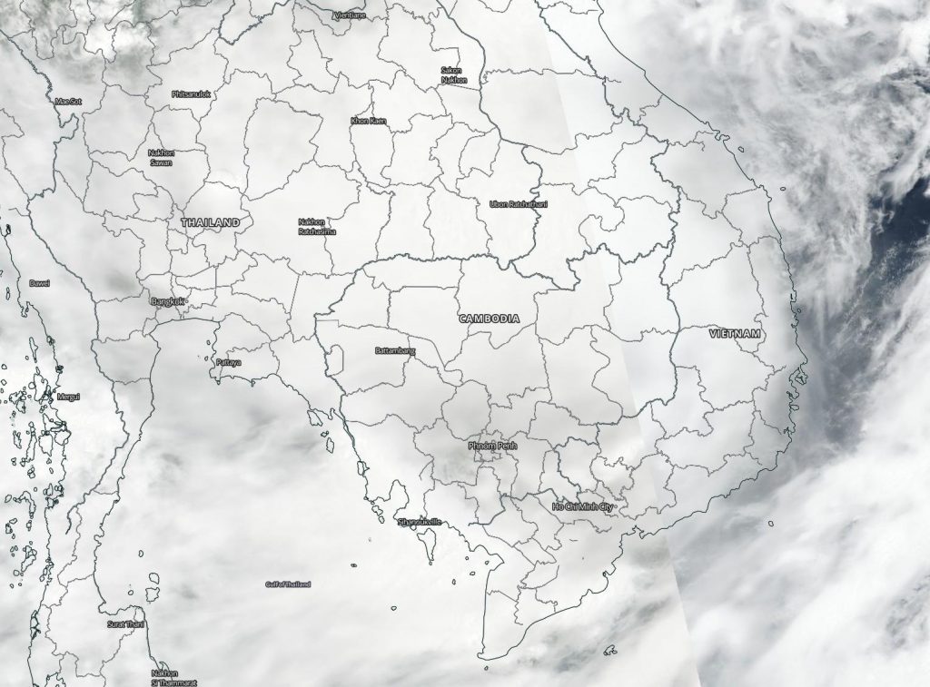
Sep. 18, 2020 – NASA-NOAA’s Suomi NPP Satellite Finds Tropical Storm Noul Fading over Laos
Tropical Storm Noul made landfall in central Vietnam on Sept. 17 and NASA-NOAA’s Suomi NPP satellite captured an image of the storm over Laos. Noul was weakening as it moves toward Thailand where it is forecast to dissipate.

The Joint Typhoon Warning Center (JTWC) reported that the system made landfall just north of Hue, Vietnam at about 0100 UTC on Sept. 18 (9 p.m. EDT on Sept. 17) and had begun to track inland.
On Sept. 18 at 3 a.m. EDT (0700 UTC/2 p.m. Vietnam local time), the VIIRS instrument aboard the Suomi NPP satellite provided a visible image of Noul as it moved into Thailand. The storm appeared shapeless and the low-level center was difficult to find. Deep convection is obscuring the low-level circulation center which has tracked inland and is located over Laos.
By 5 a.m. EDT (0900 UTC), JTWC issued the final bulletin on the storm. At that time, Tropical storm Noul was located near latitude 16.4 degrees north and longitude 104.4 degrees east, about 174 nautical miles west of Da Nang, Vietnam and over Laos. It was moving to the west and had maximum sustained winds 40 knots (46 mph/74 kph).
Noul is now dissipating as it moves toward Thailand.
NASA Researches Tropical Cyclones
Hurricanes/tropical cyclones are the most powerful weather events on Earth. NASA’s expertise in space and scientific exploration contributes to essential services provided to the American people by other federal agencies, such as hurricane weather forecasting.
For more than five decades, NASA has used the vantage point of space to understand and explore our home planet, improve lives and safeguard our future. NASA brings together technology, science, and unique global Earth observations to provide societal benefits and strengthen our nation. Advancing knowledge of our home planet contributes directly to America’s leadership in space and scientific exploration.
