Danas (Northwestern Pacific Ocean)

July 19, 2019 – NASA Sees Tropical Storm Danas Track through the East China Sea

NASA’s Aqua satellite provided a visible image of Tropical Storm Danas moving through the East China Sea on July 19, 2019.

Aqua image of Danas
On July 19, 2019, the MODIS instrument aboard NASA’s Aqua satellite provided a visible image of Tropical Storm Danas in the East China Sea. Credit: NASA Worldview, Earth Observing System Data and Information System (EOSDIS)

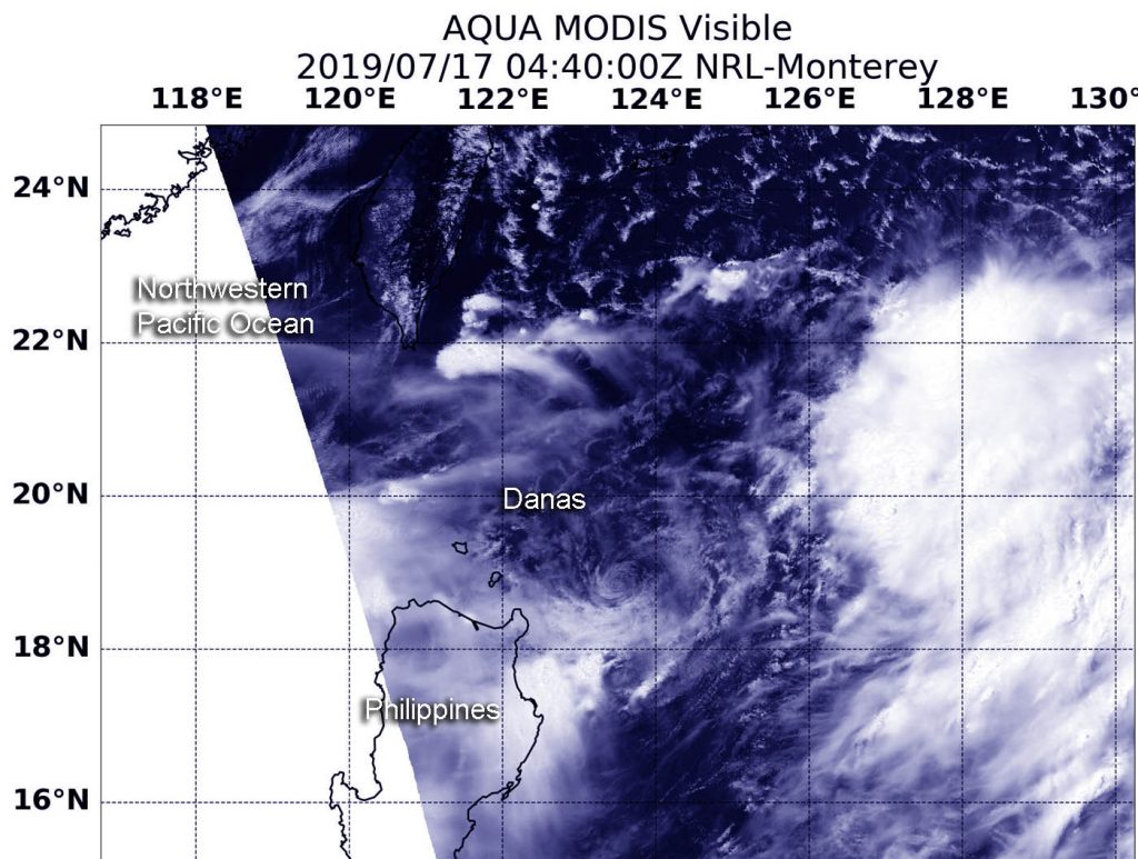
On July 19, the Moderate Resolution Imaging Spectroradiometer or MODIS instrument aboard NASA’s Aqua satellite captured a visible image of Danas that showed a large storm in the East China Sea. The storm is large and extends northeast into the Yellow Sea, east of the Korean Peninsula. The MODIS image also showed bands of strongest thunderstorms were east of the storm’s center of circulation.

At 11 a.m. EDT (1500 UTC), the center of Danas was located near latitude 32.3 degrees north and longitude 125.1 degrees west. Danas was about 266 nautical miles south-southwest of Kunsan Air Base, South Korea. Danas was moving to the north-northeast and had maximum sustained winds near 45 knots (52 mph/83 kph).

The Joint Typhoon Warning Center expects Danas to approach the southwestern coast of South Korea by 11 p.m. EDT (0300 UTC on July 20); it is forecast to weaken due to frictional effects moving over land. Significant weakening is forecast after landfall.

By Rob Gutro
NASA’s Goddard Space Flight Center

Danas (Northwestern Pacific Ocean)

July 18, 2019 – NASA’s Aqua Satellite Finds Tropical Storm Danas Over Ryuku Islands

NASA’s Aqua satellite found Tropical Storm Danas moving over Japan’s Ryuku island chain in the Northwestern Pacific Ocean.

Aqua image of Danas
On July 16, 2019, the MODIS instrument aboard NASA’s Aqua satellite provided a visible image of Tropical Depression Danas in the Northwestern Pacific Ocean. Credit: NASA Worldview, Earth Observing System Data and Information System (EOSDIS)

The Ruyku islands include Osumi, Tokara, Amami, Okinawa, Yonaguni and the Sakishima Islands. The island chain extends southwest from Kyushu to Taiwan.

On July 18 at 1:20 a.m. EDT (0520 UTC), the Moderate Resolution Imaging Spectroradiometer or MODIS instrument aboard NASA’s Aqua satellite provided a visible image of Danas that showed a large storm over Japan’s Ryuku Island chain. The image shows that Danas is being affected by vertical wind shear, where winds at different levels of the atmosphere around the tropical cyclone are pushing against it and affecting the storm’s shape. The Joint Typhoon Warning Center noted, “A large area of deep convection sheared 60 nautical miles southward of a consolidating low-level center.

At 11 a.m. EDT (1500 UTC), on July 18, the center of Danas was located near latitude 26.7 degrees north and longitude 123.6 degrees west. Danas was about 215 nautical miles west of Kadena Air Base, Okinawa, Japan. Danas was moving to the north and had maximum sustained winds near 40 knots (46 mph/74 kph).

The Joint Typhoon Warning Center expects Danas to veer to the north-northeast and run parallel to the east coast of China, moving into the Yellow Sea and across the Korean peninsula. Danas is expected to dissipate after it moves into the Sea of Japan.

By Rob Gutro
NASA’s Goddard Space Flight Center

Danas – Northwestern Pacific Ocean

July 17, 2019 – NASA Finds Tropical Storm Danas Northeast of the Philippines

NASA’s Aqua satellite provided a visible image of Tropical Storm Danas as it continued to move north and away from the Philippines.

Aqua image of Danas
On July 17, 2019, the MODIS instrument aboard NASA’s Aqua satellite provided a visible image of Tropical Storm Danas in the Northwestern Pacific Ocean, located just northeast of the Philippines. Credit: NASA Worldview, Earth Observing System Data and Information System (EOSDIS)

On July 17 at 12:40 a.m. EDT (0440 UTC), the Moderate Resolution Imaging Spectroradiometer or MODIS instrument aboard NASA’s Aqua satellite captured a visible look at Danas. The strongest thunderstorms appeared southeast of the center of circulation in the MODIS image. Danas was located northeast of Luzon, Philippines, in the Philippine Sea.

At 11 a.m. EDT (1500 UTC) on July 17, the center of Tropical Storm Danas was located near latitude 21.1 degrees north and longitude 124.0 degrees east. The center of Danas was about 421 nautical miles south-southwest of Kadena Air Base, Okinawa Island, Japan. Danas was moving to the north-northeast and had maximum sustained winds near 35 knots (40 mph/74 kph).

Danas is forecast to move north over the next couple of days and strengthen. Its center is expected to pass near Ishigakijima island on July 18.

By Rob Gutro
NASA’s Goddard Space Flight Center

Danas – Northwestern Pacific Ocean

July 16, 2019 – Tropical Depression Danas Affecting Philippines in NASA Satellite Imagery

NASA’s Aqua satellite passed over the Northwestern Pacific Ocean after the sixth tropical depression formed. Tropical Depression Danas formed northeast of the Northern Philippines and was already affecting the country.

Aqua image of Danas
On July 16, 2019, the MODIS instrument aboard NASA’s Aqua satellite provided a visible image of Tropical Depression Danas in the Northwestern Pacific Ocean. Credit: NASA Worldview, Earth Observing System Data and Information System (EOSDIS)

On July 16, the Moderate Resolution Imaging Spectroradiometer or MODIS instrument aboard NASA’s Aqua satellite provided a visible image of Danas that showed a large depression the stretched the entire length of the Philippines. Strongest thunderstorms remained off the coast in the image, but the northwestern and western quadrants were already over the Luzon and Visayas regions.

At 5 a.m. EDT (0900 UTC), the center of Danas was located near latitude 17.2 degrees north and longitude 124.9 degrees west. Danas was about 587 nautical miles southwest of Kadena Air Base, Okinawa, Japan. Danas was moving to the west-northwest and had maximum sustained winds near 25 knots (29 mph/46 kph).

The Joint Typhoon Warning Center expects Danas to turn to the north. Danas’ center is expected to stay over water until it makes landfall in three days south of Shanghai, China.

By Rob Gutro
NASA’s Goddard Space Flight Center