July 26, 2020 – NASA Imagery Catches Tropical Storm Gonzalo Degenerating into a Tropical Wave
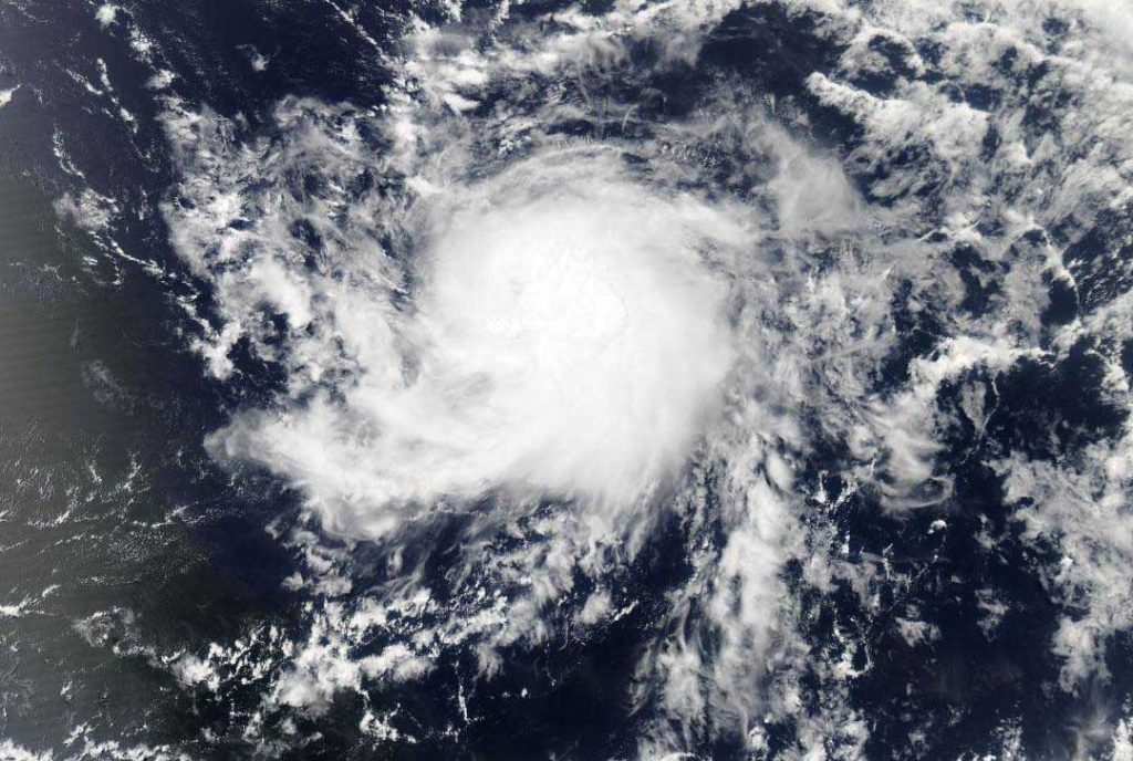
After Tropical Storm Gonzalo passed over Trinidad and Tobago, it weakened to a remnant low pressure area. NASA-NOAA’s Suomi NPP satellite passed overhead from space and snapped a visible image that revealed the storm was transitioning into a tropical wave.
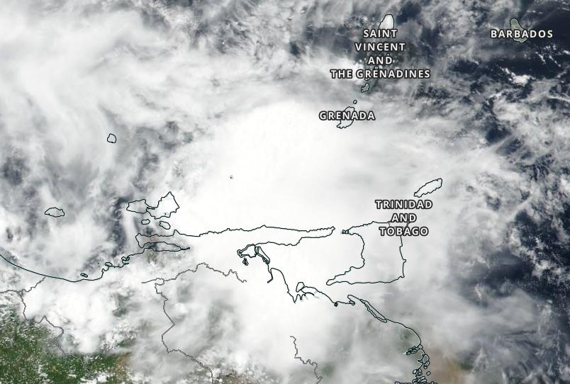
The Republic of Trinidad and Tobago is a dual island nation and the southernmost island country in the Caribbean. Trinidad Island is about 7 miles (11 km) off the northeastern coast of Venezuela.
NASA-NOAA Satellite Imagery Reveals No Circulation Center
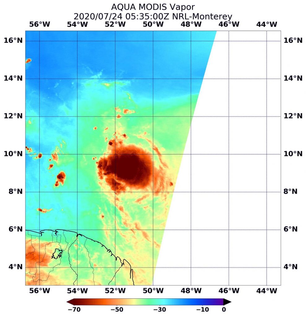
The Visible Infrared Imaging Radiometer Suite (VIIRS) instrument aboard Suomi NPP provided a visible image of the Gonzalo on July 25 after it passed Trinidad and Tobago. Satellite data showed that it was opening up into a tropical wave. By 5 p.m. EDT, satellite data showed that Gonzalo’s structure had degraded. By that time there was no clear evidence of a well-defined center in visible imagery. It appeared that the system has opened into a tropical wave. A tropical wave is an elongated area of low pressure that stretches from north to south.
Gonzalo Going, Going…
The final advisory on Gonzalo was issued at 5 p.m. EDT on July 25 after it passed Trinidad and Tobago and weakened to a remnant low-pressure area. At 5 p.m. EDT (2100 UTC), the remnants of Gonzalo were located near latitude 11.0 degrees north and longitude 63.0 degrees west. That was about 125 miles (195 km) west-northwest of Trinidad. Maximum sustained winds are near 35 mph (55 kph) with higher gusts.
On Sunday, July 26, the remnants of Gonzalo were classified as a tropical wave currently over the eastern Caribbean. Tropical squalls associated with the remnants of Gonzalo will continue to move westward for the next couple of days.
For more than five decades, NASA has used the vantage point of space to understand and explore our home planet, improve lives and safeguard our future. NASA brings together technology, science, and unique global Earth observations to provide societal benefits and strengthen our nation. Advancing knowledge of our home planet contributes directly to America’s leadership in space and scientific exploration.
For updated forecasts, visit: www.nhc.noaa.gov