Jeruto – Southern Indian Ocean

Apr. 16, 2020 – NASA Finds Tropical Storm Jeruto’s Displaced Rainfall

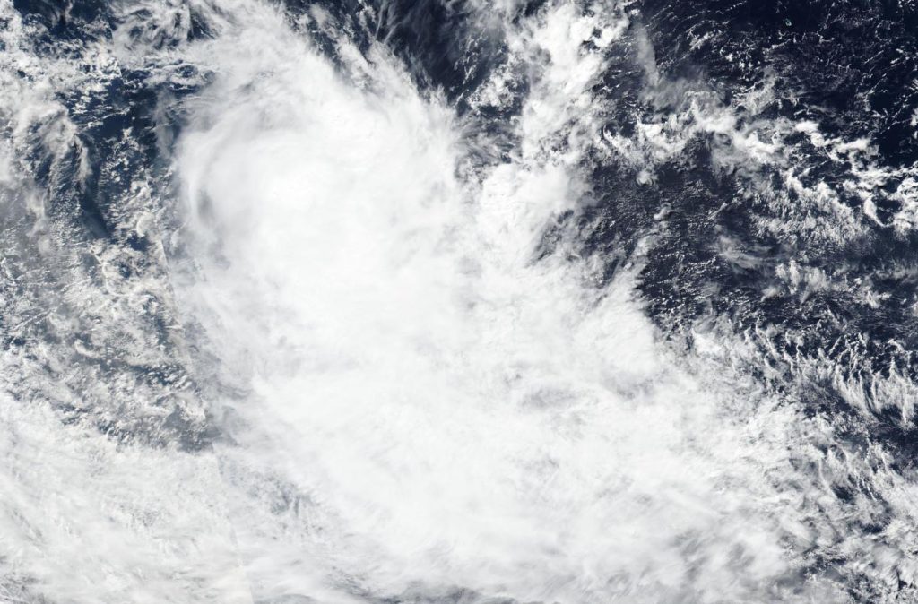
NASA analyzed weakening Tropical Storm Jeruto’s rainfall and found one small area of moderate rainfall displaced from the center, because of strong wind shear.

GPM image of Jeruto
The GPM core satellite passed over Tropical Storm Jeruto on April 16 at 12:06 a.m. EDT (0406 UTC). Winds pushed the heaviest rainfall (pink) east of the center, where it was falling at a rate of 1.6 inches (40 mm) per hour in a small area. Credit: NASA/JAXA/NRL

In general, wind shear is a measure of how the speed and direction of winds change with altitude. Outside winds were pushing against the storm and displacing the heaviest rainfall east of the center.

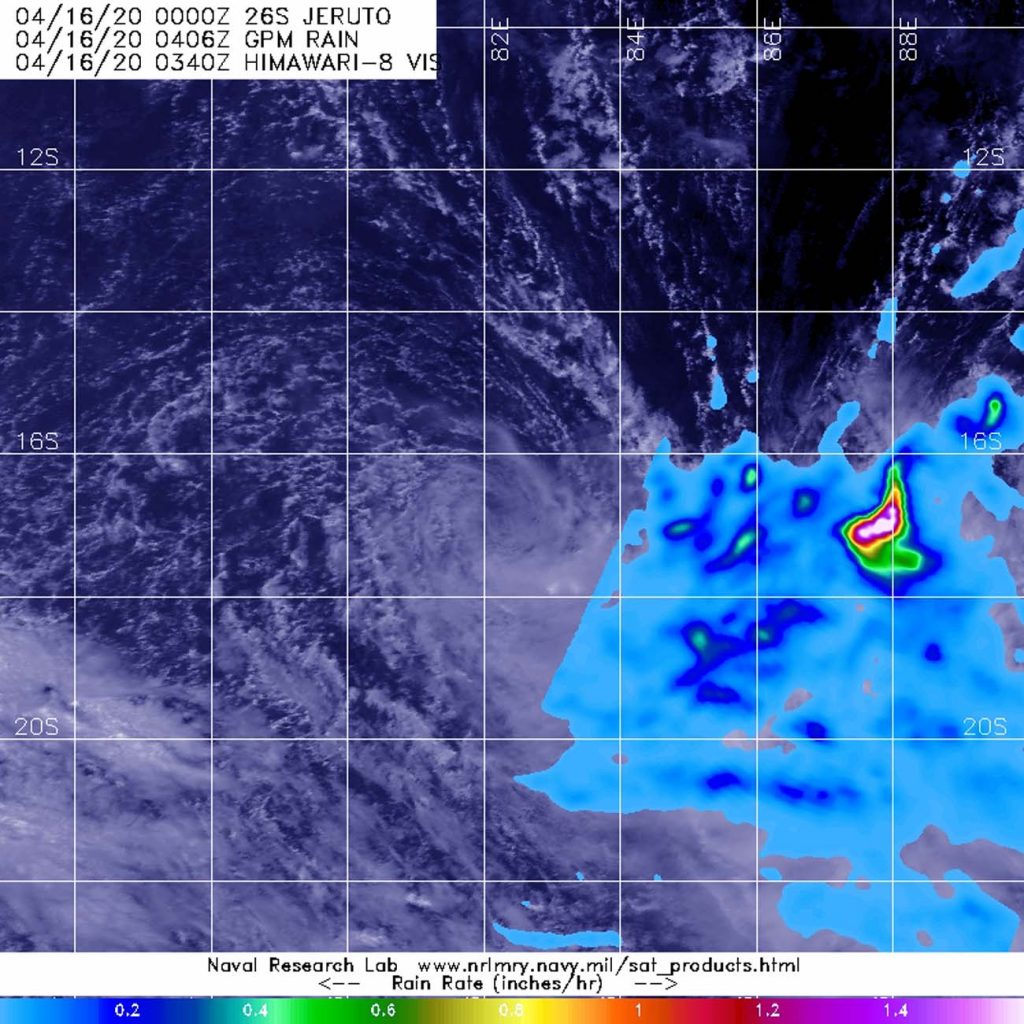
On April 15 at 5 p.m. EDT (2100 UTC), The Joint Typhoon Warning Center noted that Tropical Storm Jeruto was barely holding onto tropical storm status with maximum sustained winds near 35 knots (40 mph/65 kph). Jeruto was located near latitude 16.2 degrees south and longitude 83.1 degrees east, about 828 nautical miles southeast of Diego Garcia.

Seven hours later, NASA gathered data on the precipitation occurring in the weakening storm. NASA has the unique capability of peering under the clouds in storms and measuring the rate in which rain is falling. The Global Precipitation Measurement mission or GPM core passed over Jeruto from its orbit in space and measured rainfall rates in the storm on April 16 at 12:06 a.m. EDT (0406 UTC). Winds pushed the heaviest rainfall east of the center, where it was falling at a rate of 1.6 inches (40 mm) per hour in a small area.

Jeruto is expected to dissipate on April 16.

Tropical cyclones/hurricanes  are the most powerful weather events on Earth. NASA’s expertise in space and scientific exploration contributes to essential services provided to the American people by other federal agencies, such as hurricane weather forecasting.

Both the Japan Aerospace Exploration Agency, JAXA and NASA manage GPM.

By Rob Gutro
NASA’s Goddard Space Flight Center

Jeruto – Southern Indian Ocean

Apr. 15, 2020 – NASA Finds Tropical Storm Jeruto Develop in Southern Indian Ocean

The latest tropical cyclone to develop in the Southern Indian Ocean is no threat to land areas.  NASA-NOAA’s Suomi NPP satellite provided forecasters with a visible image of Tropical Storm Jeruto on April 15, 2020.

Suomi NPP Image of Jeruto
NASA-NOAA’s Suomi NPP satellite provided forecasters with a visible image of Tropical Storm Jeruto on April 15 shortly after it developed in the Southern Indian Ocean. Credit: NASA Worldview, Earth Observing System Data and Information System (EOSDIS)

Visible imagery from NASA satellites help forecasters understand if a storm is organizing or weakening. The visible image created by the Visible Infrared Imaging Radiometer Suite (VIIRS) instrument aboard Suomi NPP showed Jeruto was being affected by wind shear after it developed. Vertical wind shear, that is, winds outside of a tropical cyclone at different heights in the atmosphere (the troposphere) push against a tropical cyclone and tear it apart.

The shape of a tropical cyclone provides forecasters with an idea of its organization and strength, and NASA-NOAA’s Suomi NPP satellite showed the storm appeared elongated, as outside winds were pushing clouds away from the center of circulation.

On April 15 at 5 a.m. EDT (0900 UTC), Jeruto’s center was located near latitude 15.8 degrees south and longitude 84.3 degrees east. Jeruto was moving west-southwest near 10 knots (12 mph/19 kph). Maximum sustained winds were near 40 knots (46 mph/76 kph).

The Joint Typhoon Warning Center noted vertical wind shear (wind speeds) will increase and will likely dissipate the storm within a couple of days.

Tropical cyclones/hurricanes are the most powerful weather events on Earth. NASA’s expertise in space and scientific exploration contributes to essential services provided to the American people by other federal agencies, such as hurricane weather forecasting.

By Rob Gutro 
NASA’s Goddard Space Flight Center