Aug. 17, 2020 – NASA Sees Former Tropical Storm Josephine Open into a Trough
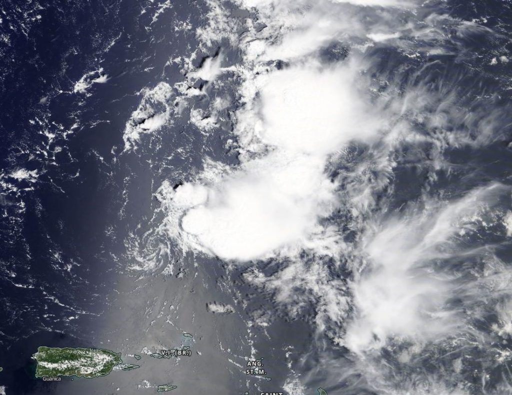
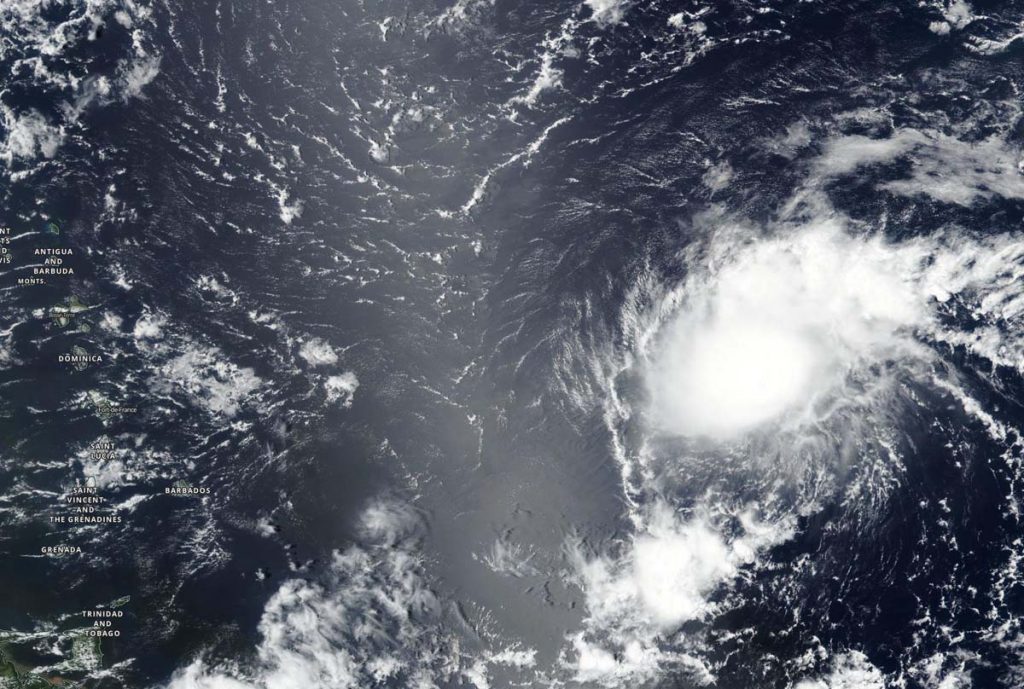
Tropical Storm Josephine weakened on Aug. 16 in the North Atlantic Ocean and satellite imagery showed the storm had become elongated and stretched out into a trough of low pressure a couple of hundred miles north of Puerto Rico.

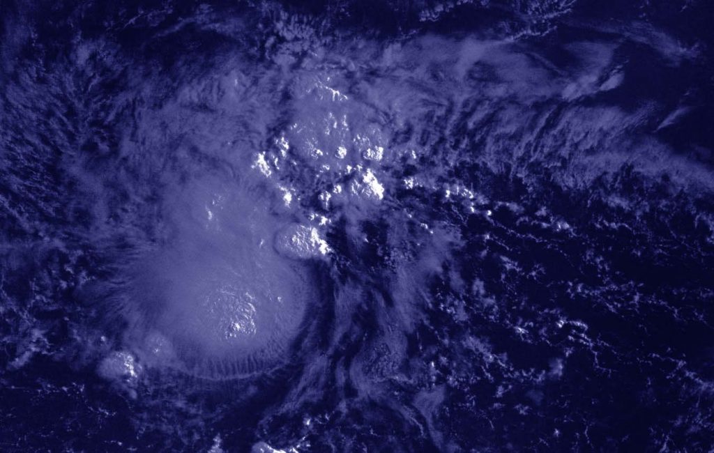
Early on Sunday, Aug. 16, the Moderate Resolution Imaging Spectroradiometer or MODIS instrument aboard NASA’s Aqua satellite provided infrared temperatures of the storm’s cloud tops and revealed the storm had become more disorganized over the last day. Coldest cloud top temperatures were near minus 70 degrees Fahrenheit and were displaced from the center. At the time, the National Hurricane Center said, “Josephine’s low-level center has raced out over 100 nautical miles to the west of a remnant area of deep convection, which itself is shrinking and becoming more disorganized.”
Later in the day, at 1:30 p.m. EDT, the MODIS instrument aboard NASA’s Terra satellite provided a visible image of Josephine as it was degenerating into a trough (elongated area) of low pressure about 175 miles (280 km) north of San Juan, Puerto Rico. The MODIS image showed a low-level swirl that became less defined later in the day. Wind data on the afternoon of Aug. 16 indicated Josephine had degenerated into a trough of low pressure.
Josephine’s Final Advisory
The NHC posted its final advisory on Josephine on Sunday, Aug. 16 at 5 p.m. EDT (2100 UTC). At that time, the remnants of Josephine were located near latitude 20.9 degrees north and longitude 65.8 degrees west. The remnants were moving toward the west-northwest near 12 mph (19 kph), and is expected to turn toward the northwest.
Maximum sustained winds are near 35 mph (55 kph) with higher gusts. The maximum winds associated with the remnants are forecast to continue to decrease over the next day or two. The remnants are forecast to recurve toward the north and northeast Tuesday and Tuesday night.
About NASA’s Worldview and Terra Satellite
NASA’s Earth Observing System Data and Information System (EOSDIS) Worldview application provides the capability to interactively browse over 700 global, full-resolution satellite imagery layers and then download the underlying data. Many of the available imagery layers are updated within three hours of observation, essentially showing the entire Earth as it looks “right now.” One of the satellites providing data is NASA’s Terra Satellite. Terra is one in a fleet of NASA satellites that provide data for hurricane research.
Tropical cyclones/hurricanes are the most powerful weather events on Earth. NASA’s expertise in space and scientific exploration contributes to essential services provided to the American people by other federal agencies, such as hurricane weather forecasting.
For updated forecasts, visit: www.nhc.noaa.gov


