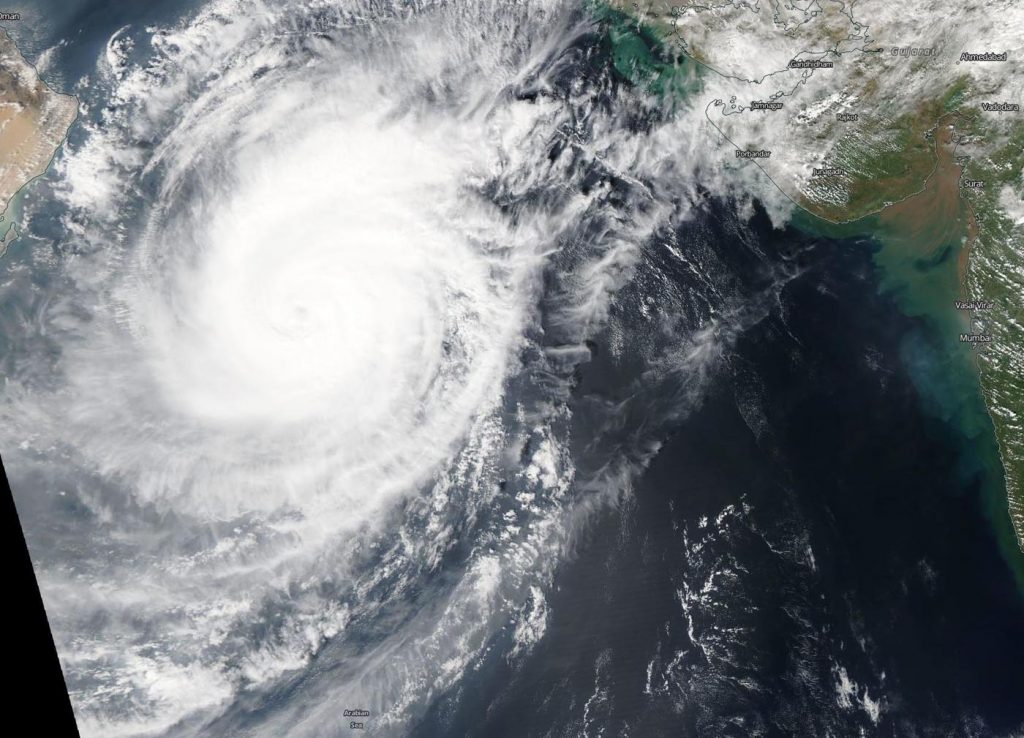
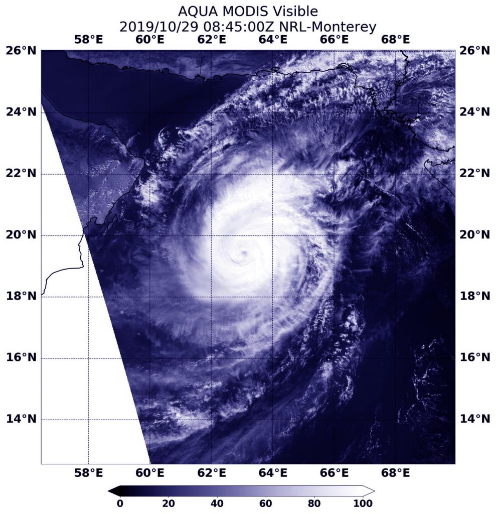
Oct. 31, 2019 – NASA Finds Small Area of Heavy Rain Left in Tropical Cyclone Kyarr
Tropical Cyclone Kyarr appears to be winding down as it moves through the Arabian Sea and NASA provided forecasters with an analysis of rainfall rates occurring in the weakening storm.
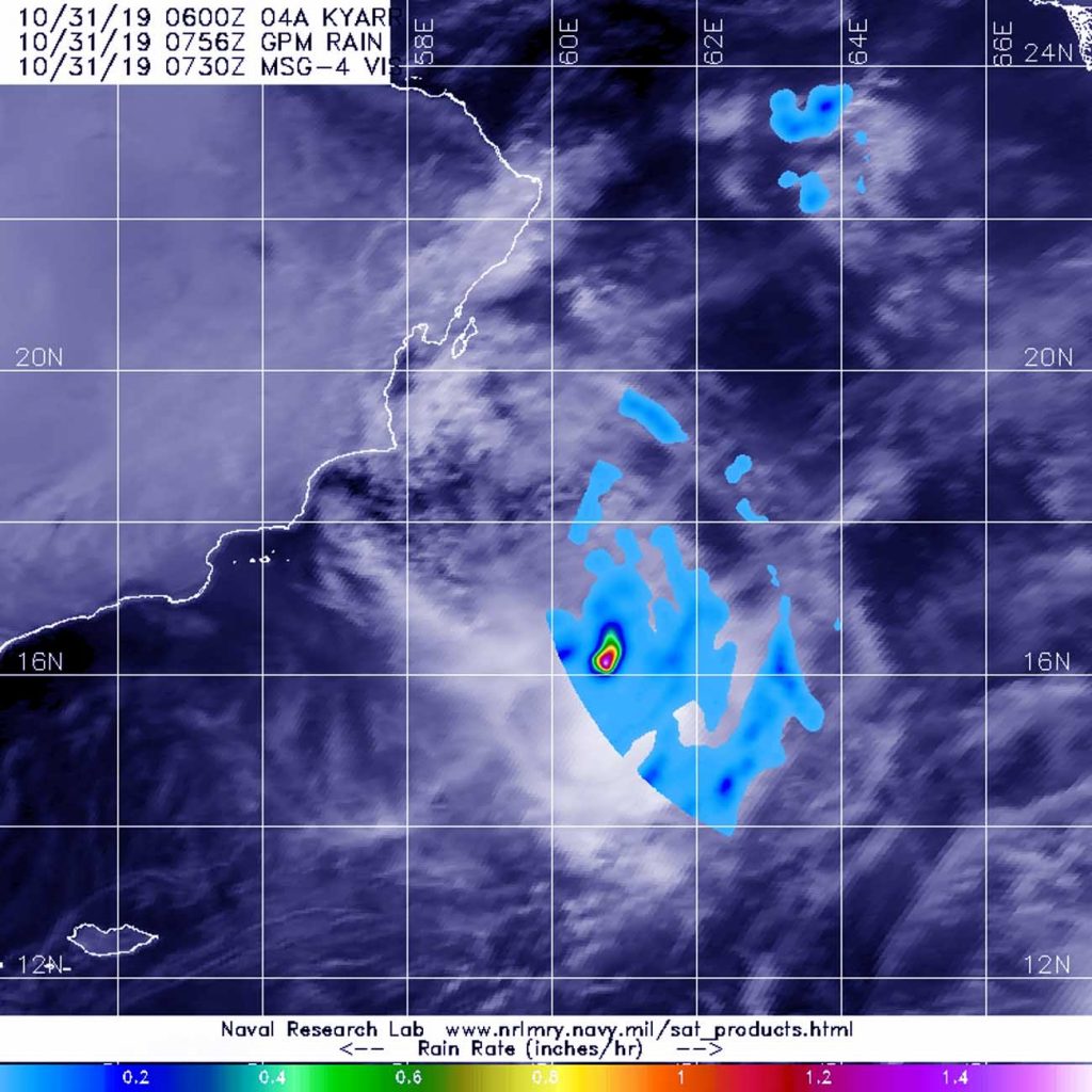
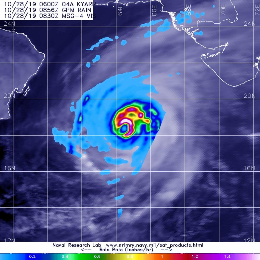
NASA has the unique capability of peering under the clouds in storms and measuring the rate in which rain is falling. Global Precipitation Measurement mission or GPM core passed over Kyarr from its orbit in space and measured rainfall rates throughout the storm.
The GPM’s core satellite passed over Tropical Cyclone Kyarr in the Arabian Sea, Northern Indian Ocean on Oct. 31 at 3:56 a.m. EDT (0756 UTC) and found the heaviest rainfall occurring in a very small area around the center of circulation where rain was falling at 1.6 inches (40 mm) per hour. Most of the rain falling throughout the rest of the system was occurring at a rate of over 25 mm (about 1 inch) per hour Forecasters incorporate the rainfall data into their forecasts.
At 5 a.m. EDT (0900 UTC) on Oct. 31, the Joint Typhoon Warning Center or JTWC noted that Kyarr was located near latitude 17.7 degrees north and longitude 59.9. degrees east, about 174 miles south-southeast of Masirah Island, Oman. Kyarr was moving to the southwest and had maximum sustained winds 35 knots (40 mph/65 kph).
Kyarr is moving southwest and is weakening rapidly. The storm is expected to dissipate before reaching Socotra Island.
Hurricanes are the most powerful weather event on Earth. NASA’s expertise in space and scientific exploration contributes to essential services provided to the American people by other federal agencies, such as hurricane weather forecasting.
Both the Japan Aerospace Exploration Agency, JAXA and NASA manage GPM.