Nov. 08, 2019 – NASA Sees Nakri Strengthen into a Typhoon
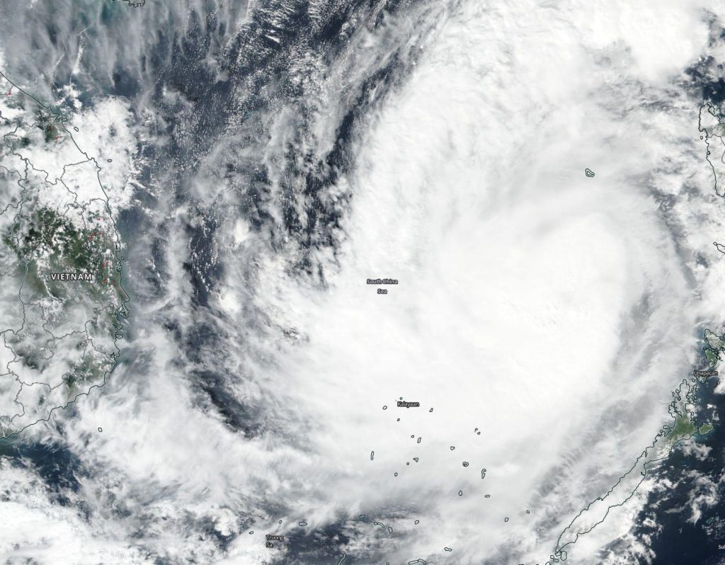
Former Tropical Storm Nakri strengthened into a Typhoon in the South China Sea on Nov. 8. NASA-NOAA’s Suomi NPP satellite passed over the region and found Nakri appeared more circular and more organized.
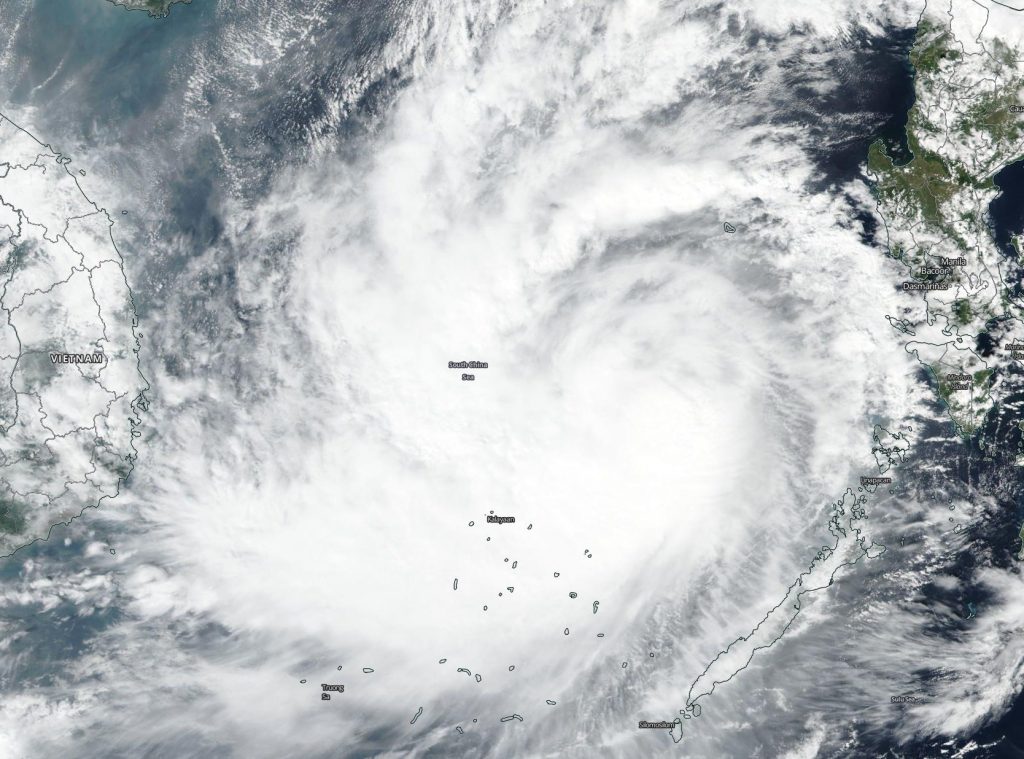
Visible imagery from the Visible Infrared Imaging Radiometer Suite (VIIRS) instrument aboard NASA-NOAA’s Suomi NPP satellite on Nov. 8 showed Nakri appeared more circular indicating it had intensified. The imagery also showed a large band on thunderstorms west of the center and wrapping into the low-level center. The center of the storm was still west of the main Philippine Islands, and north of Palawan. However, Kalayaan was still feeling the effects of the storm.
Kalayaan is a municipality on Pagasa Island in the province of Palawan, Philippines. Kalayaan is part of the Spratly Group of Islands, west of the largest island of Palawan. Nakri is known in the Philippines as Quiel.

The satellite imagery showing better organization complemented the increase in Nakri’s maximum sustained winds. Sustained winds on Nov. 7 were near 60 knots (69 mph/111 kph). On Nov. 8 at 10 a.m. EST (1500 UTC), Nakri’s maximum sustained winds had increased to near 65 knots (75 mph/120 kph). The intensity is expected to remain relatively steady in the near-term. Nakri was located near latitude 12.7 degrees north and longitdue 116.1 degrees east, about 291 nautical miles west-southwest of Manila, Philippines. Nakri is moving slowly to the west.
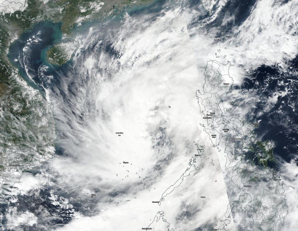
Vietnam’s National Center for Hydro-Meteorological Forecasting issued a Typhoon Warning for the country as Nakri approaches.
The Joint Typhoon Warning Center expects Nakri to slowly track westward and make landfall in Vietnam late on Nov. 10 or early Nov. 11, to the south of Danang.
Typhoons and hurricanes are the most powerful weather event on Earth. NASA’s expertise in space and scientific exploration contributes to essential services provided to the American people by other federal agencies, such as hurricane weather forecasting.