Dec. 27, 2019 – NASA Finds an Elongated Phanfone Now a Tropical Storm
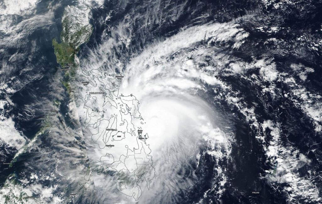
NASA-NOAA’s Suomi NPP satellite provided a visible image of Phanfone as it continued moving through the South China Sea. Visible imagery showed that the storm was less organized and elongated as the storm weakened from a typhoon to a tropical storm.

Satellite imagery gives forecasters a look at the structure and strength of tropical cyclones. Visible imagery helps forecasters understand if a storm is organizing or weakening. If a storm appears more circular in nature it is an indication the storm is consolidating and strengthening. If a storm appears more elongated or asymmetrical, it is a sign that the storm is weakening.
In the visible image captured by Suomi NPP’s Visible Infrared Imaging Radiometer Suite (VIIRS) instrument, Phanfone appeared more asymmetrical.
Forecasters at the Joint Typhoon Warning Center in Pearl Harbor, Hawaii noted that Phanfone is being affected by vertical wind shear, which is a factor in elongating the storm. Wind shear are winds around the storm that blow against it at different levels in the atmosphere. The storm is also being weakened by dry air moving into it from the west. Dry air saps the ability for thunderstorms to form, and thunderstorms make up a tropical cyclone.
At 10 a.m. EST (1500 UTC) on Dec. 27, Phanfone’s maximum sustained winds had dropped to 50 knots. It was located in the South China Sea, near latitude 15.0 degrees north and longitude 115.9 degrees east, approximately 461 nautical miles east of Da Nang, Vietnam.
Phanfone is moving across the South China Sea in a westerly direction and is continuing to weaken. The forecasters at the Joint Typhoon Warning Center expect the storm to dissipate by Dec. 29, just off the coast of Vietnam.
Tropical cyclones and hurricanes are the most powerful weather events on Earth. NASA’s expertise in space and scientific exploration contributes to essential services provided to the American people by other federal agencies, such as hurricane weather forecasting.


