Pola (Southern Pacific Ocean)

Feb. 28, 2019 – NASA Finds a Hint of an Eye in Tropical Cyclone Pola

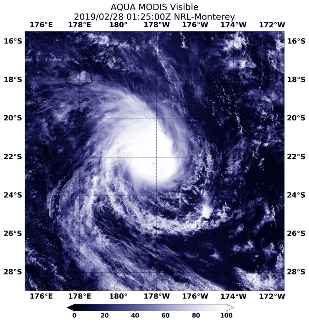
Visible imagery from NASA’s Aqua satellite revealed the hint of an eye developing in the center of Tropical Cyclone Pola. Warnings in the Southern Pacific Ocean have been posted for Tonga.

Aqua image of Pola
On Feb. 28, 2019 at 0125 UTC (Feb. 27 at 8:25 p.m. EDT) the MODIS instrument aboard NASA’s Aqua satellite captured a visible light image of Tropical Cyclone Pola in the South Pacific. The image showed the hint of an eye. Credit: NASA/NRL

he Polynesian kingdom of Tonga consists of more than 170 South Pacific islands, many uninhabited. Forecasts are managed by the Tonga Meteorological Service or TMS.

On February 28, the TMS noted that a tropical cyclone warning is in force for Tonga, with a hurricane force winds warning for Tele-Ki-Tonga and Tele-Ki-Tokelau coastal waters. A strong wind warning remains inforce for Tongatapu and ‘eua land areas and coastal waters. A heavy damaging swell remains inforce for Ha’apai, Tongatapu, ‘eua, Tele-ki-tonga and Tele-ki-tokelau coastal waters.

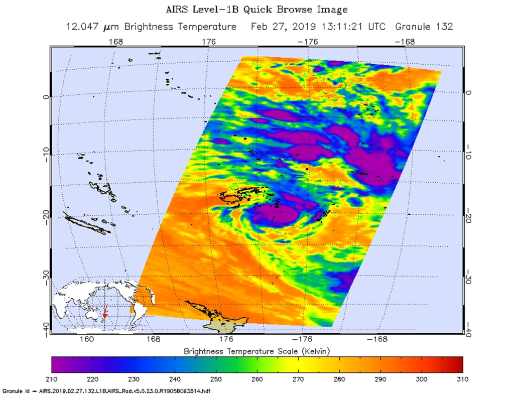
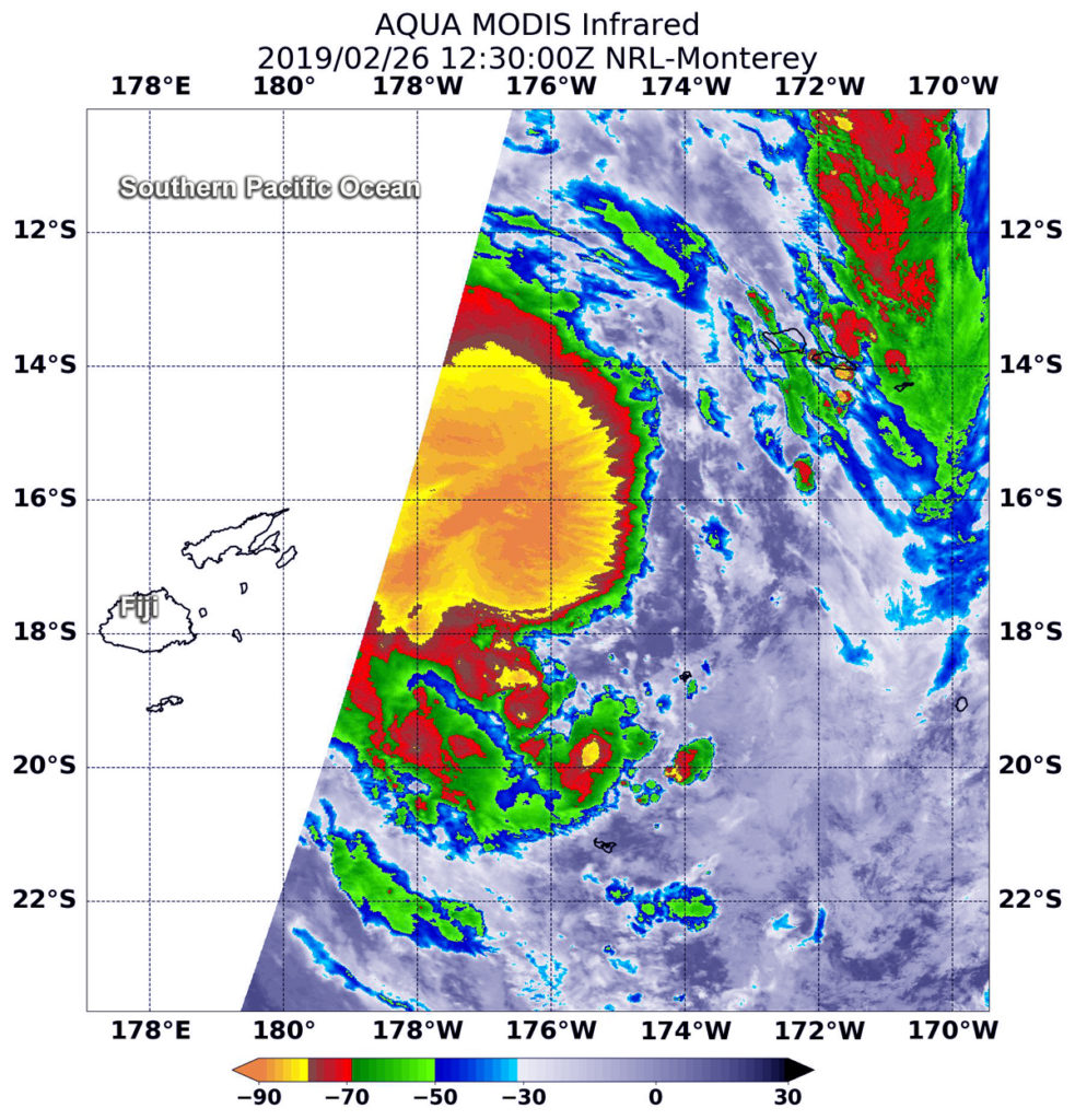
On Feb. 28, 2019 at 0125 UTC (Feb. 27 at 8:25 p.m. EDT) the Moderate Resolution Imaging Spectroradiometer or MODIS instrument aboard NASA’s Aqua satellite captured a visible image of Tropical Cyclone Pola. The visible imagery provided a hint that an eye was developing. Animated enhanced infrared satellite imagery confirmed that the compact system has developed a 5 nautical-mile wide eye. In addition, microwave imagery indicated tightly-curved banding of thunderstorms were wrapping into the eye.

At 10 a.m. EDT (1500 UTC) on Feb. 28, Pola’s maximum sustained winds had peaked near 90 knots (103 mph/166 kph). The Joint Typhoon Warning Center or JTWC expects the storm will start weakening. Pola was centered near 24.9 degrees south latitude and 178.2 degrees west longitude. Tropical cyclone Pola is located approximately 423 nautical miles south-southeast of Suva, Fiji, and has tracked southward.

The Joint Typhoon Warning Center expects Pola to continue to move south and later transitioning into an extra-tropical storm.

For updated forecasts from the Tonga Meteorological Service, visit: http://www.met.gov.to/

By Rob Gutro
NASA’s Goddard Space Flight Center

Pola (Southern Pacific Ocean)

Feb. 27, 2019 – NASA Catches Tropical Cyclone Pola Near Fiji

Tropical Cyclone Pola was passing near the Southern Pacific country of Fiji when NASA’s Aqua satellite analyzed the storm in infrared light and found it strengthening.

Aqua image of Pola
On Feb. 27 at 8:11 p.m. EDT (1311 UTC) the AIRS instrument aboard NASA’s Aqua satellite analyzed cloud top temperatures of Tropical Cyclone Pola in infrared light. AIRS found cloud top temperatures of strongest thunderstorms were as cold as or colder than minus 63 degrees Fahrenheit (minus 53 degrees Celsius). Credit: NASA JPL/Heidar Thrastarson

On Feb. 27 at 8:11 p.m. EDT (1311 UTC) the Atmospheric Infrared Sounder or AIRS instrument aboard NASA’s Aqua satellite analyzed cloud top temperatures of Tropical Cyclone Pola in infrared light. AIRS found cloud top temperatures were getting colder. Colder cloud tops mean the uplift of air in the storm is strengthening and pushing the cloud tops higher. It’s an indication of a strengthening storm.

Strongest thunderstorms as cold as or colder than minus 63 degrees Fahrenheit (minus 53 degrees Celsius) circling the center. Enhanced infrared satellite imagery shows deep and persistent convection continues to wrap around the low level circulation center. Cloud top temperatures that cold indicate strong storms that have the capability to create heavy rain. Microwave imagery revealed a partial eye developing.

On Feb. 21 at 10 a.m. EST (1500 UTC), the center of Tropical Cyclone Pola was located near latitude 21.0 degrees south and longitude 178.0 degrees west. That puts the center of Pola between Fiji and Tonga and about 258 nautical miles southeast of Suva, Fiji. Pola was moving to the south-southwest. Maximum sustained winds were near 75 knots (86 mph/139 kph).  The Joint Typhoon Warning Center expects Pola to strengthen in the next day before slow weakening begins.

By Rob Gutro
NASA’s Goddard Space Flight Center

Pola (Southern Pacific Ocean)

Feb. 26, 2019 – NASA Finds Heavy Rainfall Potential in New Tropical Cyclone Pola

Tropical Cyclone Pola formed in the South Pacific Ocean on February 26 and the Fiji Meteorological Services quickly heavy rain posted warnings. NASA’s Aqua satellite analyzed cloud top temperatures in the storm which gave an indication of the storm’s strength.

Aqua image of Pola
At 7:30 a.m. EDT (1230 UTC) on Feb. 26, the MODIS instrument aboard NASA’s Aqua satellite looked at Tropical Cyclone Pola (16P) in infrared light. MODIS found coldest cloud tops (light green) had temperatures near minus 80 degrees Fahrenheit (minus 62.2 degrees Celsius) around the center of the tropical storm. Credit: NASA/NRL

At 7:30 a.m. EDT (1230 UTC) on Feb. 26, the MODIS or Moderate Resolution Imaging Spectroradiometer instrument aboard NASA’s Aqua satellite looked at Tropical Cyclone Pola, also known as Tropical Cyclone 16P, in infrared light. MODIS found coldest cloud tops had temperatures near minus 80 degrees Fahrenheit (minus 62.2 degrees Celsius) around the center of the tropical storm. Storms with temperatures that cold are indicative of strong storms and have been shown to have the capability to generate heavy rainfall.

The Fiji Meteorological Services posted a heavy rain alert for the Lomaiviti group, eastern and interior parts of Viti Levu, Kadavu and nearby smaller islands.

The Joint Typhoon Warning Center or JTWC posted at 10 a.m. EDT (1500 UTC) on Feb. 26 that Pola was located at 17.4 degrees south latitude and 176.4 degrees west longitude. That’s approximately 283 nautical miles southwest of Avata Samoa. Pola was moving southward and is expected to continue in that general direction over the next several days. Maximum sustained winds were near 40 mph (46 mph/74 kph) and the storm is expected to strengthen to 55 knots (63 mph/102 kph).

JTWC expects that Pola will reach peak strength as a tropical storm on Feb. 27 and then begin transitioning into an extra-tropical storm as it moves away from Fiji.

For updated forecasts, visit: https://www.facebook.com/FijiMetService/

By Rob Gutro
NASA’s Goddard Space Flight Center