Nov. 13, 2018 – NASA-NOAA Satellite Catches Short-Lived Tropical Cyclone Bouchra
Tropical Cyclone Bouchra formed on Nov. 10 in the Southern Indian Ocean and was already on its way to dissipation when NASA-NOAA’s Suomi NPP satellite passed overhead on Nov. 13.
Bouchra formed on Nov. 10 around 4 a.m. EDT (0900 UTC) about 220 miles northwest of Cocos Island, near 5.5 degrees south latitude and 90.7 east longitude. It was the fourth tropical cyclone of the Southern Indian Ocean cyclone season.
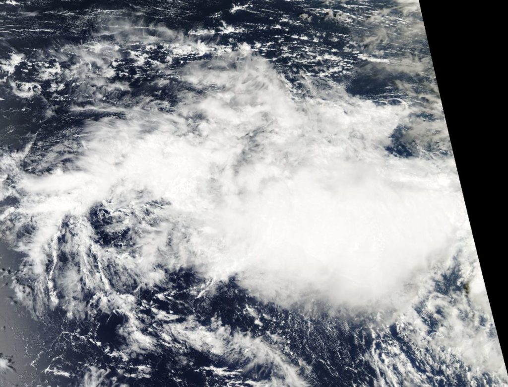
On Nov. 13, the Visible Infrared Imaging Radiometer Suite (VIIRS) instrument aboard NASA-NOAA’s Suomi NPP satellite analyzed Tropical Depression Bouchra showed a disorganized storm. The Joint Typhoon Warning Center noted the storm appeared to have “shallow disorganized central convection sheared eastward, partly exposing a weak and ragged low level circulation.”
Wind shear was stretching the storm out from west to east. In general, wind shear is a measure of how the speed and direction of winds change with altitude. Winds at different levels of the atmosphere pushed against the cylindrical circulation center and skewed it, weakening the rotation.
On Nov., 13 at 4 a.m. EDT (0900 UTC) Bouchra’s maximum sustained winds had dropped to 34.5 mph (30 knots/55.5 kph). It was located approximately 495 nautical miles northwest of Cocos Island near 7.2 degrees south latitude and 90.3 degrees east longitude. Bouchra was moving southeastward, and will dissipate later in the day.