May 21, 2019 – Subtropical Storm Andrea Jumps the Gun As the First Storm of 2019 Atlantic Season
Andrea becomes the first subtropical storm for the 2019 season although we are two weeks short of the official start date of June 1. This storm was first spotted on Monday, May 20, 2019 forming over the western Atlantic.
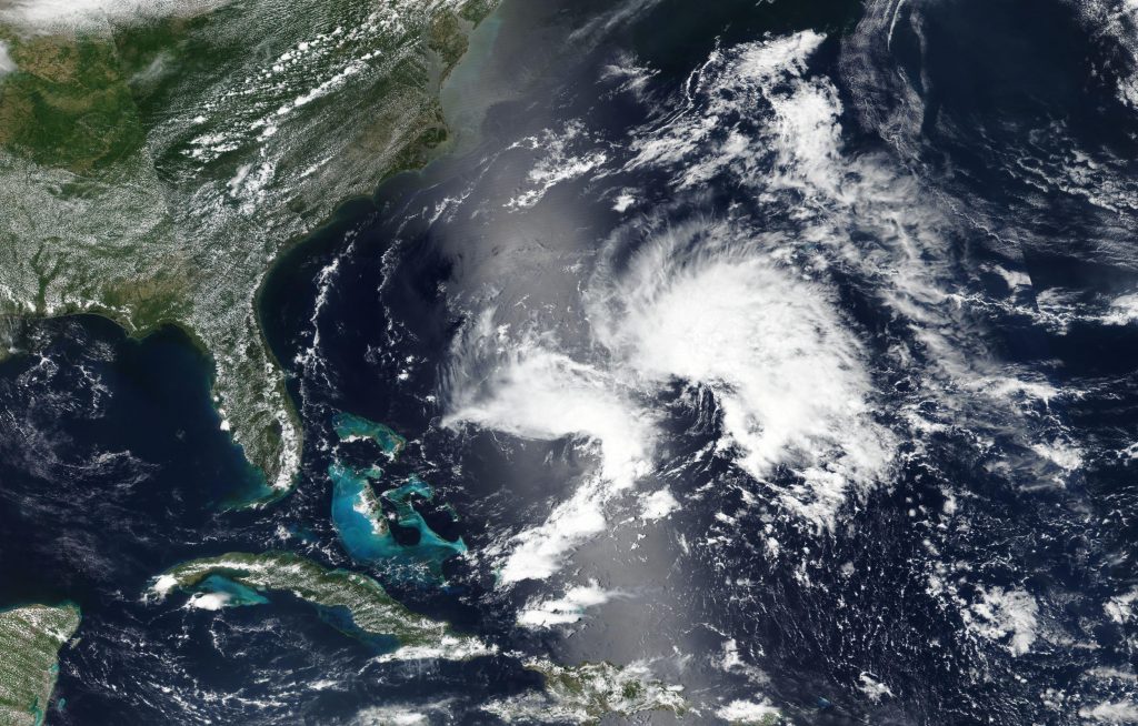
At present the storm is located 295 miles west southwest of Bermuda and is moving north at 5 knots. Maximum sustained winds are near 40 mph (65 km/h) with higher gusts extending outward up to 60 miles from the center. Bermuda is within the zone of coverage for this storm, although at present there are no coastal watches or warnings in effect. The storm is expected to veer northeast later today. On the forecast track, the center of Andrea is expected to remain southwest and south of
Bermuda during the next day or two.
Little change in strength is forecast today, followed by weakening
late tonight. Andrea is expected to dissipate on Wednesday.
For updates on this storm, go to: https://www.nhc.noaa.gov/
By Lynn Jenner
NASA’s Goddard Space Flight Center