July 17, 2019 – NASA Tracking Post-Tropical Cyclone Barry to Indiana
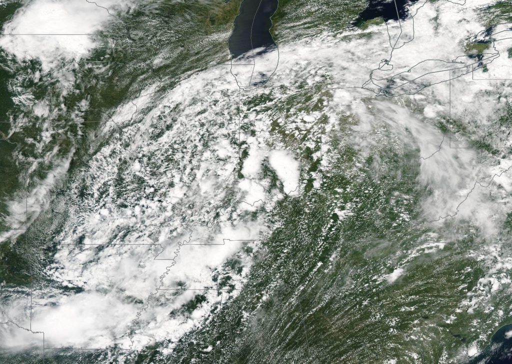
NASA’s Aqua satellite provided a visible image of the clouds associated with Post-Tropical Cyclone Barry moving through the mid-Mississippi Valley on July 16, and headed toward the Ohio Valley.

On July 16, the Moderate Resolution Imaging Spectroradiometer or MODIS instrument aboard NASA’s Aqua satellite captured a visible look at Barry. Strongest thunderstorms appeared over northwestern Arkansas, western Tennessee and southwestern Kentucky at the time of the image. Barry’s remnant clouds were also spreading into southern Indiana.
By 5 a.m. EDT (0900 UTC) on July 17, NOAA’s National Weather Service Weather Prediction Center in College Park, Maryland noted that Barry’s center of circulation had moved to about 90 miles (150 km) northeast of Indianapolis, Indiana. The center of Post-Tropical Cyclone Barry was located near latitude 40.8 degrees north and longitude 85.3 degrees west. The post-tropical cyclone is moving toward the east-northeast near 22 mph (35 kph) and this motion is expected to continue through tonight. Maximum sustained winds are near 15 mph (30 kph) with higher gusts. Little change in strength is forecast during the next 48 hours. The estimated minimum central pressure is 1010 millibars (29.83 inches).
Flash flood watches are in effect across portions of the northern Mid-Atlantic. Barry is expected to produce additional rain accumulations of 1 to 3 inches from portions of the Upper Ohio and Upper Tennessee Valleys into the northern Mid-Atlantic and southern New England.
