Sep. 26, 2019 – NASA Finds Tropical Storm Karen’s Strength on Western Side
NASA’s Terra satellite captured an image of Tropical Storm Karen on Sept. 26 and found the strongest thunderstorms west of center.
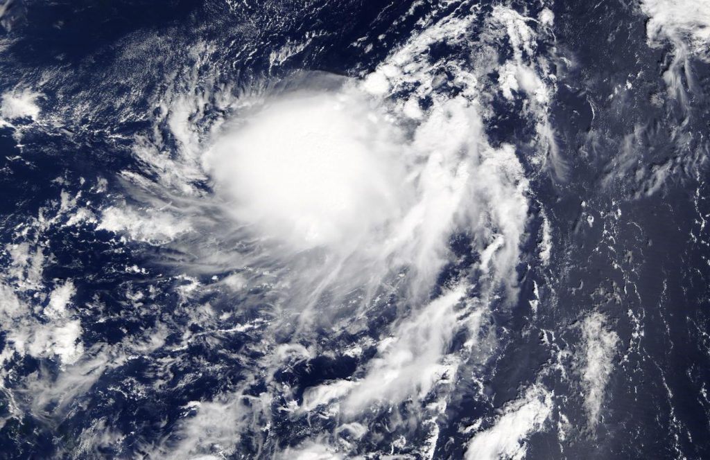
On Sept. 26 at 1:30 p.m. EDT on Sept. 26, the Moderate Imaging Spectroradiometer or MODIS instrument that flies aboard NASA’s Terra satellite provided a visible image of Karen. The image showed the Karen has been maintaining a cluster of developing thunderstorms and convection to the west of center. NOAA’s National Hurricane Center noted that visible satellite images, such as the one from NASA’s Terra satellite and wind data from NOAA buoy 40149 to the northeast, suggest that the low-level circulation is becoming elongated. When a storm becomes elongated, it’s a sign of weakening.
The shape of the storm is a clue to forecasters that a storm is either strengthening or weakening. If a storm takes on a more rounded shape it is getting more organized and strengthening. Conversely, if it becomes less rounded or elongated, like Karen, it is a sign the storm is weakening.
At 11 a.m. EDT (1500 UTC), the center of Tropical Storm Karen was located near latitude 26.6 degrees north and longitude 63.3 degrees west. Karen was centered about 405 miles (650 km) south-southeast of Bermuda. Karen is moving toward the north-northeast near 14 mph (22 kph), and this motion is expected to continue with a decrease in forward speed through this evening. Karen is then forecast to make a slow clockwise loop, ultimately moving westward by early Sunday.
Satellite-derived wind data indicate that maximum sustained winds are near 45 mph (75 kph) with higher gusts. The estimated minimum central pressure is 1004 millibars.
Weakening is forecast by the weekend, and Karen is expected to become a remnant low by Sunday, Sept. 29.
Hurricanes are the most powerful weather event on Earth. NASA’s expertise in space and scientific exploration contributes to essential services provided to the American people by other federal agencies, such as hurricane weather forecasting.
For updated forecasts, visit: https://www.nhc.noaa.gov