Alcide (was 03S – Southern Indian Ocean)

Nov. 07, 2018 – NASA Sees Tropical Cyclone Alcide Reach Hurricane Strength

NASA’s Terra satellite provided a visible image of a more organized Tropical Cyclone Alcide in the Southern Indian Ocean after it reached hurricane-force.

Terra image of Alcide
On Nov. 7, the MODIS instrument aboard NASA’s Terra satellite provided a visible image of Tropical Cyclone Alcide in the Southern Indian Ocean after it strengthened to hurricane-force. Credit: NASA Worldview, Earth Observing System Data and Information System (EOSDIS)

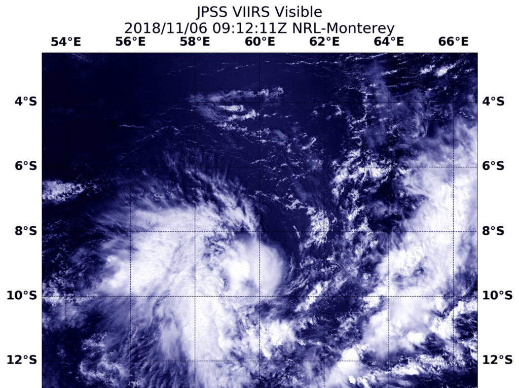
On Nov. 7, a visible image of Alcide taken by the Moderate Resolution Imaging Spectroradiometer or MODIS instrument aboard NASA’s Terra satellite showed an organized storm with a thick band of powerful thunderstorms circling the center. The eye appears ragged on the MODIS imagery and is about 10 nautical miles wide. Satellite data taken after the MODIS image showed that the system continued to strengthen.

The Joint Typhoon Warning Center said that at 10 a.m. EST (1500 UTC) on Nov. 7, Alcide had maximum sustained winds near 75 knots (86 mph/139 kph). It was centered near 10.6 degrees south latitude and 55.7 degrees east longitude. Tropical cyclone Alcide is located approximately 587 nautical miles north of Port Louis, Mauritius, and was moving to the west-southwest.

Alcide is expected to strengthen over the next day or two before starting a weakening trend over cooler ocean waters.

By Rob Gutro
NASA’s Goddard Space Flight Center

03S (Southern Indian Ocean)

Nov. 06, 2018 – Satellite Finds Tropical Cyclone 03S Develop in Southern Indian Ocean

Tropical Cyclone 03S formed in the Southern Indian Ocean and the NOAA-20 satellite passed overhead and captured a visible image of the storm.

JPSS image of 03S
At 5:12 a.m. EDT (0912 UTC) on Nov.6, the VIIRS instrument aboard NOAA’s NOAA-20 satellite captured a visible image of Tropical Cyclone 03S in the Southern Indian Ocean Credit: NASA/NRL

At 5:12 a.m. EDT (0912 UTC) on Nov.6, the Visible Infrared Imaging Radiometer Suite (VIIRS) instrument aboard the NOAA-20 polar orbiting satellite saw fragmented bands of thunderstorms around Tropical Storm 03S’s center of circulation. The VIIRS image revealed that the bulk of clouds and storms were south of the center. The Joint Typhoon Warning Center noted “The bulk of the deep convection remains concentrated southwestward of the low level circulation.”

On Nov. 6 at 11 a.m. EDT (1500 UTC) 03S’s maximum sustained winds were near 35 knots (40 mph/62 mph) making it a tropical storm. It was located approximately 641 nautical miles north of Port Louis, Mauritius near 9.7 south latitude and 58.9 east longitude. 03S was moving west-southwestward and is expected to strengthen over the next several days.

NOAA-20 is the first in the JPSS series of satellites. JPSS is a collaborative program between the National Oceanic and Atmospheric Administration (NOAA) and its acquisition agent, the National Aeronautics and Space Administration (NASA). NOAA is responsible for managing and operating the JPSS program, and developing portions of the ground segment, while NASA is responsible for developing and building the JPSS instruments, spacecraft, and portions of the ground segment and providing launch services.

For more information about the JPSS series of satellites, visit: https://www.jpss.noaa.gov/

By Rob Gutro
NASA’s Goddard Space Flight Center