Aug. 12, 2019 – NASA-NOAA Satellite Views Massive Tropical Storm Krosa
Tropical Storm Krosa is a large tropical cyclone. When NASA-NOAA’s Suomi NPP satellite passed over the Northwestern Pacific Ocean, it captured a visible image of the massive storm.
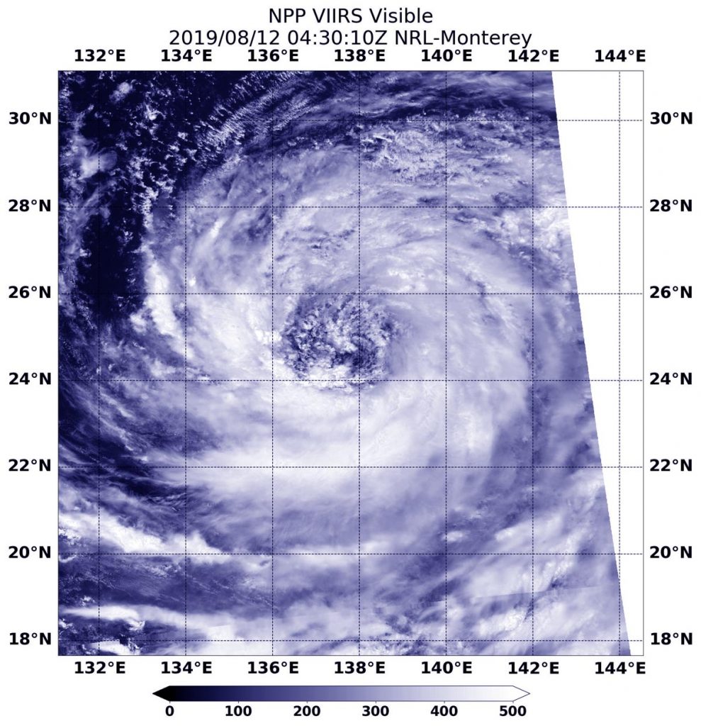
The Visible Infrared Imaging Radiometer Suite (VIIRS) instrument aboard Suomi NPP provided a visible image of Tropical Storm Krosa on Aug. 12 at 12:30 a.m. EDT (0430 UTC). The VIIRS image showed that the storm appeared to be almost as wide as the length of the Philippines. For comparison, the Philippines’ length is 1,851 km (1,150 miles) from south-southeast to north-northwest. Thunderstorms wrapped around the low-level center and a band of fragmented thunderstorms stretched far to the south of the center of circulation.
The Joint Typhoon Warning Center noted in their discussion on Aug. 12, “Animated enhanced infrared satellite imagery shows a very expansive system deep but widely fragmented convective bands spiraling in mostly from the southwest into a large, ragged and fully exposed low-level circulation.”
At 11 a.m. EDT (1500 UTC) on Monday, August 12, 2019, the Joint Typhoon Warning Center found Krosa’s maximum sustained winds near 55 knots (63 mph/102 kph). Krosa’s large eye was centered near 26.1 degrees north latitude and 136.7 degrees east longitude. That’s about 236 nautical miles west-northwest of Iwo To island, Japan. Krosa was moving to the northwest.
Krosa is expected to make landfall over western Shikoku, Japan in two and a half days, on August 15. Shikoku is the smallest of Japan’s major islands.