A recent blog post talked about IceBridge’s home away from home, the Kangerlussuaq International Science Support Center. But what about the rest of the town of Kanger, as it is sometimes called? Here are a few photos from around this small town of about 500 people built around Greenland’s main transportation hub, the Kangerlussauq International Airport.
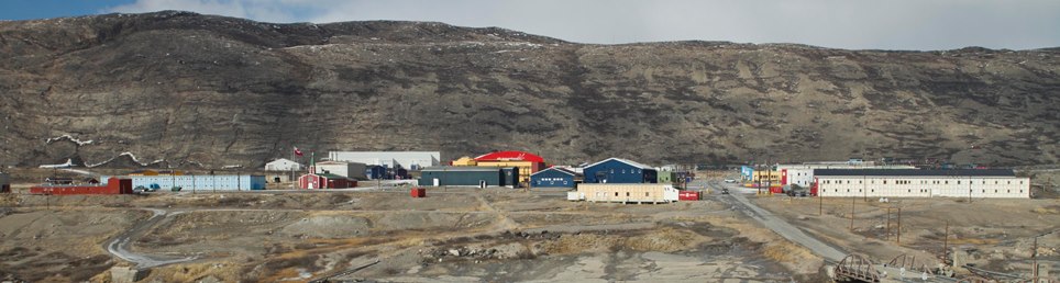
The airport and town of Kangerlussuaq can trace their roots back to military aviation, first as an airbase known as Bluie West-8 during World War II and later as a U.S. Air Force installation known as Sondrestrom airbase. The airport was turned over to civilian control in the early 1990s, though the 109th Airlift Wing of the New York Air National Guard maintains a presence there to support scientific activity in Greenland. In the above photo we can see pretty much the entire town, with the KISS facility and other similar buildings to the left. The large red building in the center of the photo is a hangar used by Air Greenland.
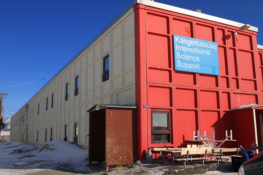
The majority of travelers heading to Greenland move through Kanger on their way to other parts of the country. Among these travelers are researchers who then head to research sites like Swiss Camp, Summit Station and various drilling sites all over the ice sheet. Many of the scientists working in Greenland will spend time at the Kangerlussuaq International Science Support, or KISS, center.
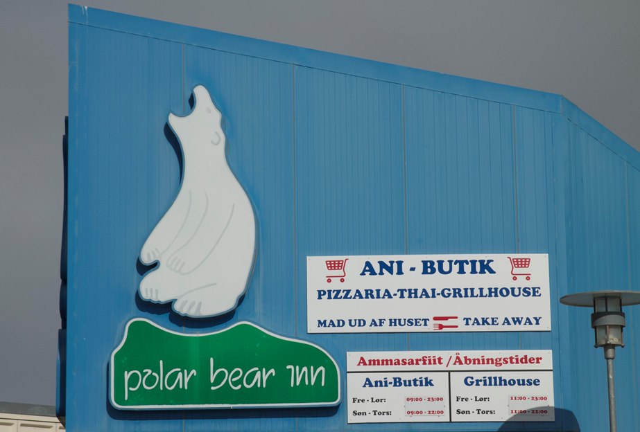
Kanger is a small town, with fairly limited dining and shopping options. The airport cafeteria and main local grocery store are on the other side of town from KISS, unlike the Thai grill / pizzeria / convenience store known as the Polar Bear Inn seen in the above photo.
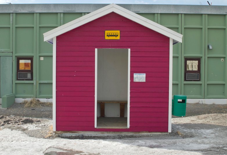
Despite being small there is a bus system in Kangerlussuaq, with several shelters like the one above throughout town. These shelters are unheated, but a welcome refuge from cold and wind.
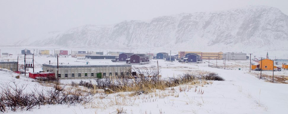
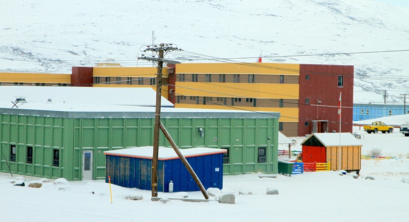
Here we see what Kangerlussuaq looks like on a snowy and windy day. On average, Kangerlussuaq gets around five or six inches of total precipitation per year, though this spring seemed a little colder and stormier than during the last two IceBridge campaigns. Although Kanger might not get a lot of snow each year, the surroundings can get a little bland during the winter. Like many other places in the Arctic, locals counteract this by painting buildings in town different bold colors, which we can see in the above photo and the next one.