By Claire Saravia, NASA Goddard Space Flight Center Office of Communications
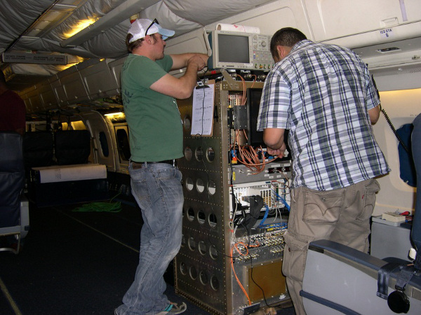
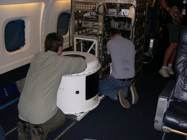
Before the instruments aboard NASA’s Operation IceBridge fly over Antarctica in October to collect polar ice data, they will be tested over an unlikely ice substitute: a series of sites in the Mojave Desert.
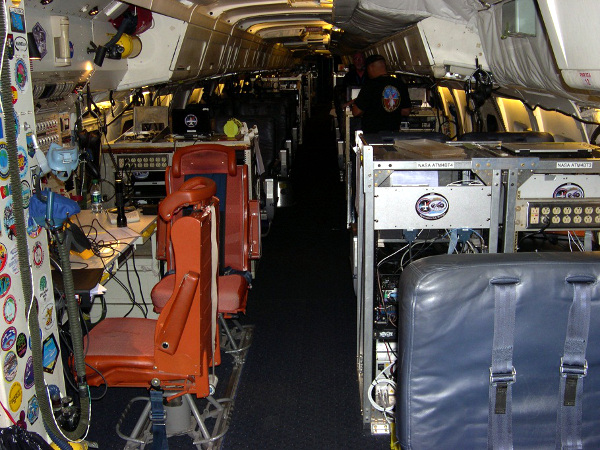
The instruments that are part of IceBridge—a six-year flight mission designed to study ice at the Earth’s poles and bridge the gap between the two ICESat missions —are put through test flights every year to ensure they’re functioning properly.
This year, instruments like the Airborne Topographic Mapper (ATM) will use three separate sites in the California desert as a dress rehearsal for one of the real mission flights.

View of the Mojave Desert from the DC-8. Credit: NASA/J. Yungel
While it might seem counterintuitive to use a desert to simulate land filled with ice, ATM scientist John Sonntag said the area’s land features and reflective sand produce a similar landscape.
“The variety of terrain and surface reflectance over these lines will allow us to adjust the ATM for a wide variety of targets, thus increasing the reliability of the system once we get over Antarctica,” Sonntag said.
The IceBridge mission scientists aren’t the first to use the dry, sandy area to portray its icy counterpart. Sonntag said the test flight would be using some of the same tracks used during test flights of the ICESat mission as a way to compare measurements.
“We continue to overfly these tracks as part of ATM calibrations because we can compare the results with over flights of those same targets in previous years,” Sonntag said. “These comparisons will allow us to adjust the calibration parameters of the ATM with great precision.”
One of the desert features that will be used in the test flight is the El Mirage dry lake, which Sonntag said is frequently featured as a scenic backdrop in both movies and car commercials.
“El Mirage is a nearly ideal site for doing these laser calibrations because it is large, relatively flat, completely unobstructed by overhead features such as power lines and light poles, and has a bright laser reflectance similar to snow and ice,” Sonntag said.

The El Mirage dry lake in the Mojave Desert. Credit: NASA/J. Yungel
While it would be more ideal to use actual snowy surfaces to test the instruments, ATM program manager James Yungel said the easy access to sand regions outside both the NASA Wallops Flight Facility and the Dryden Flight Research Center made it the next best thing.
“Finding snow near Wallops or Dryden when we install on the aircraft can be difficult, but both NASA home airports have sand beaches or sand desert regions that are fairly close to snow reflectivity,” Yungel said. “These sandy sites allow us to tune the ATM systems for actual snow targets.”
IceBridge project scientist Michael Studinger said the fact that the scientists know the desert sites well makes them a popular spot for adjusting the instruments to measure ice.
“This is necessary so that we can collect high quality data over unknown targets like the Antarctic ice sheet and be confident that we have an extremely precise measurement of the ice surface elevation,” Studinger said. “It’s not about the precise location, but calibrating the radar for the signal that is transmitted from the antennas and then reflected back from the layers in the ice sheet and glaciers.”
IceBridge conducted two equipment checkout flights, one over the Pacific Ocean on Oct. 2 and one over the Mojave Desert on Oct. 3. The IceBridge Antarctic campaign is scheduled to begin with its first science flight on or about Oct. 11, 2012.


