From Sarah DeWitt, NASA’s Goddard Space Flight Center
November 7, 2010

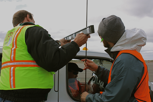
Dave Jordan (NASA ARC), Kyle Krabill (NASA WFF) and Matt Beckley (NASA GSFC) affix a GPS antenna to a pick-up truck for the three-hour Operation IceBridge car survey. Credit: Sarah DeWitt, NASA GSFC.
PUNTA ARENAS, Chile — Today marks the end of Daylight Savings Time in the United States, but the clocks remain unchanged in Punta Arenas. Just 18 hours after setting foot on Chilean soil, I was packing my bag at 5:30 this morning for a DC-8 flight over Pine Island Glacier. I thought that was an exceptionally appropriate first foray into the IceBridge mission, considering that Pine Island is one of the few Antarctic features I know quite well.
Alas, the IceBridge team and I will keep our feet on the ground for at least a few more days while we wait for a replacement airplane part to be delivered from California. The news came over breakfast as the team prepared to fly for a fourth day in a row – a welcome stroke of good luck now put on temporary hold. While the DC-8 team hustled to get the part shipped on the next available plane from L.A., others shifted their focus from the air to the ground.
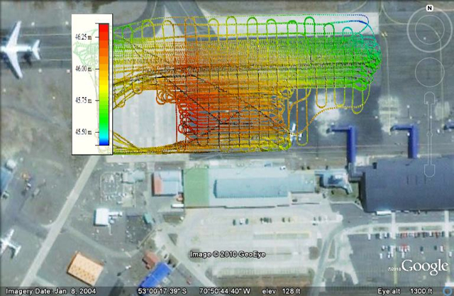
The ground calibration team is really just one person – Kyle Krabill, engineer at NASA’s Wallops Flight Facility. This morning Kyle took advantage of the DC-8 downtime and set out to create a topographic map of the airport ramp. This type of map is called a “car survey” because it involves a three-hour journey criss-crossing the rectangular speck of pavement at a maximum speed of 5 miles per hour. The entire area is only about 200,000 square meters, but it varies in elevation by a factor of about one meter. An accurate elevation map of the ramp is critical for calibrating IceBridge’s airborne instruments. Kyle’s goal is an elevation map with centimeter precision.
He starts his car survey by attaching a GPS antenna to the top of a car. He carefully arranges all of the equipment and passengers before the survey begins, because even a slight difference in weight can affect the measurement. Would-be passengers must commit to the three-hour road trip or be relegated to watch from the sidelines.

Image is courtesy of Kyle Krabill/ATM team


