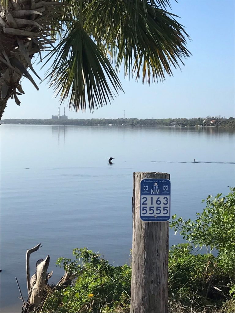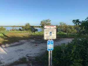
Emergency Location Markers (ELMs) have been installed on Kennedy Space Center federal property at Playalinda Beach, the Merritt Island National Wildlife Refuge and at both KARS Parks to provide the emergency phone number and geolocation information to Kennedy visitors or employees.

The ELMs are national standardized signs that display U.S. National Grid (USNG) coordinates and were installed as a result of an Innovation without Boundaries award by the Chief Technology Office in 2018. Fifty-nine ELMs and 25 information signs that explain the system were installed in areas where members of the public may have difficulty describing their location in an emergency.
Additionally, free web applications FindMeSAR.com and USNGAPP.org allow any user to determine their location anywhere via USNG, known as the “language of location.” These apps may be used routinely to geolocate infrastructure, such as hydrants or culverts, as another example.
Kennedy’s emergency personnel have been trained on USNG map-reading, geolocation, navigation and position reporting. Additionally, mutual-aid responder agencies surrounding the spaceport were advised of the Kennedy ELM program and were provided mapping tools to plot USNG coordinates easily.
