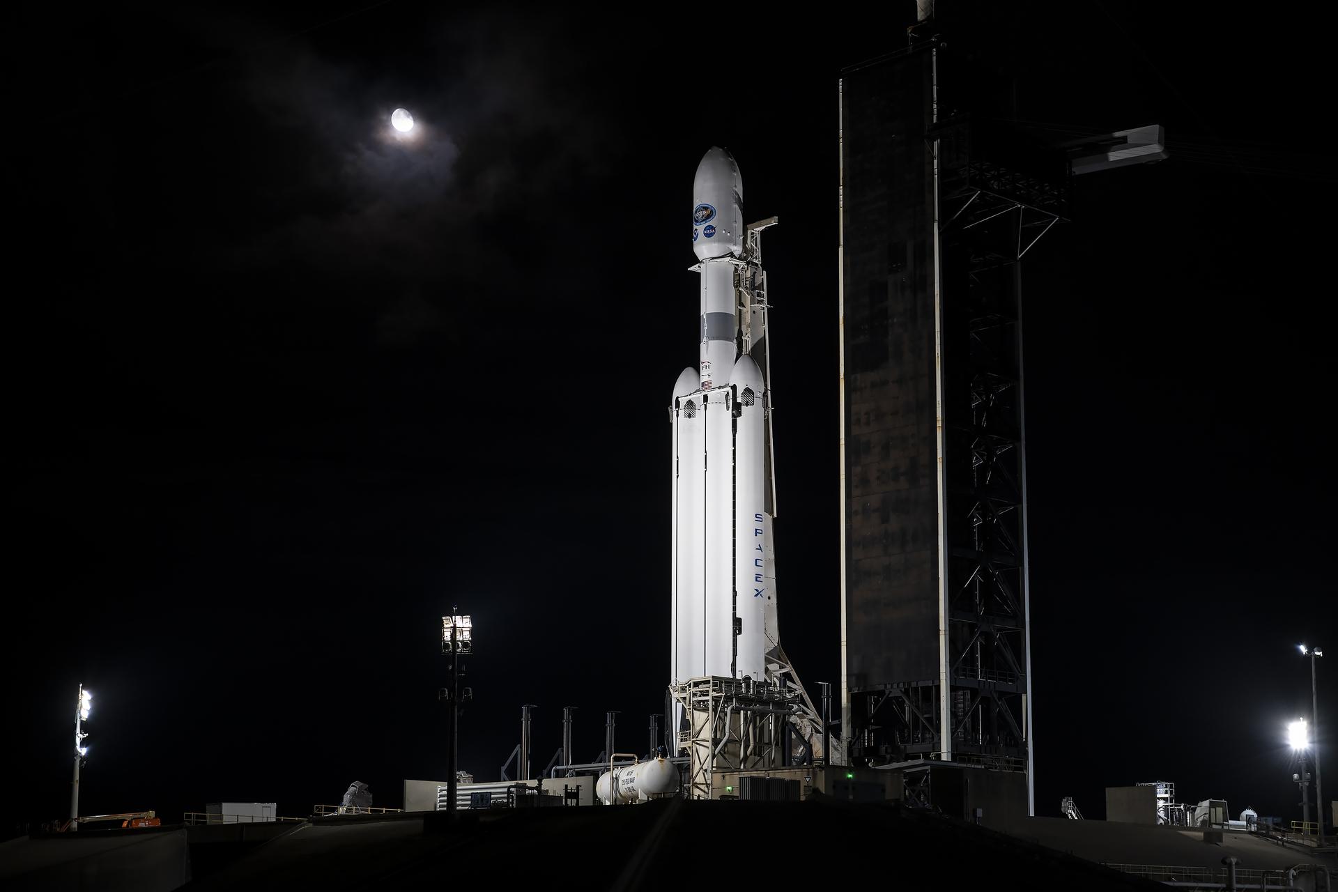
NASA and NOAA (National Oceanic and Atmospheric Administration) have closely collaborated, dating back to 1975, to successfully deploy more than 60 weather satellites. The NOAA GOES-U (Geostationary Operational Environmental Satellite U) mission is the culmination of a historic weather-observing and environmental monitoring system.
The NOAA GOES-R Series, which consists of three satellites – GOES-R, S, and T, soon to be joined by GOES-U – is the only system that provides persistent coverage of the Western Hemisphere.
Data from the environmental monitoring satellite constellation enables forecasters to predict, observe, and track local weather events on Earth and in space that affect public safety like thunderstorms, hurricanes, wildfires, and solar storms.
The GOES-R Series Program is overseen by NOAA through an integrated NOAA-NASA office, managing the ground system, operating the satellites, and distributing their data to users worldwide.
NASA’s Launch Services Program, based at the agency’s Kennedy Space Center in Florida, manages the launch service for the GOES-U mission. NASA’s Goddard Space Flight Center in Greenbelt, Maryland oversees the acquisition of the spacecraft and instruments. Lockheed Martin designs, builds, and tests the GOES-R series satellites. L3Harris Technologies provides the primary instrument, the Advanced Baseline Imager, along with the ground system, which includes the antenna system for data reception.
Continue checking NASA’s GOES blog for additional mission milestones, or join the conversation and get updates on social media by following these accounts:
X: @NASA, @NASA_LSP, @NASAKennedy, @NOAASatellites, @NASAGoddard
Facebook: NASA, NASA LSP, NASA Kennedy, NOAA Satellites, NASA Goddard
Instagram: NASA, NASA Kennedy, NOAA Satellites
