By George Hale, IceBridge Science Outreach Coordinator, NASA Goddard Space Flight Center
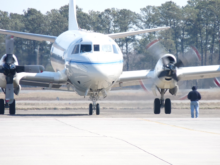
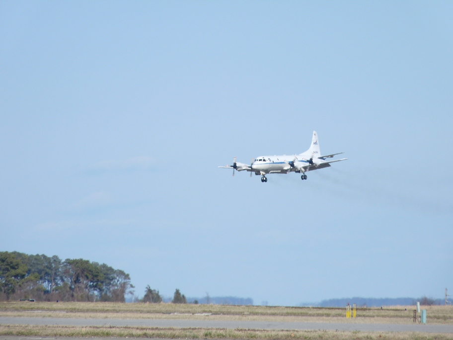
On Mar. 14 and 15, the IceBridge team carried out project check flights in preparation for the Arctic campaign. After an engineering check flight earlier in the week to make sure everything is properly secured inside the aircraft, scientists and a small number of instrument operators board the P-3 to begin flights over the Wallops Flight Facility airfield and beaches near Wallops Island, Va., to test the Airborne Topographic Mapper (ATM) and Digital Mapping System (DMS) and over the Atlantic Ocean to test the Multichannel Coherent Radar Depth Sounder (MCoRDS), the snow and accumulation radars, and Ku-band radar altimeter.
These check flights have two main purposes. The first is to test the equipment to make sure it’s all in working order and the second is to collect data that is used to calibrate the instruments. Every time an instrument is installed in a research aircraft it’s important to make sure that nothing has changed since the last time it was flown.
Ground tests can catch many alignment and installation problems, but the real moment of truth comes in flight tests. On the afternoon of Mar. 14, the IceBridge team took off for flights near Wallops to test the ATM and DMS systems and check other electronics. By flying a level flight at varying altitudes, the teams can collect data that ensures their instruments are properly calibrated.
Different materials reflect light to varying degrees, which can make a difference with a laser-based instrument like ATM. Because IceBridge is measuring snow and ice, highly reflective materials, the ATM team will often test over sandy areas the beaches near Wallops. This is because sand reflects light in a similar way to ice. Another test is to check areas near each other with widely different albedos, for example, the white numbers and surrounding dark pavement on the runway. If light and dark targets next to each other show the same elevation then the instrument is calibrated properly.

Similarly, the team tests the DMS instruments to make sure the camera is aligned properly and that focus and frame rate are set appropriately. The rate at which the DMS camera captures photos depends on the aircraft’s speed and altitude, with lower altitude and higher speeds needing a faster rate to ensure proper coverage.
On Mar. 15, the team took off in the morning to do final checks of the P-3B’s radar instruments. Instead of flying along the beaches near Wallops, the P-3 headed out 200 nautical miles over open water in the Atlantic Ocean. The reason for doing this test over the ocean is twofold. First, U.S. law prevents IceBridge from operating its radars inside the country, and second, the ocean surface acts almost like a mirror for the radar, making it ideal for testing. By comparing transmit and return signal strengths at different altitudes, the team can make sure the radar is working properly.

Signal strength, however, is only part of the picture. MCoRDS is made up of several antennas in an array, with each antenna’s signal recorded separately. To make sure that each element is aligned correctly, the P-3B climbs to a high altitude and banks left and right while researchers measure how the return signals change during the maneuver. These maneuvers are also the reason why the radars are tested on a separate day from ATM and DMS. Once the plane banks more than 15 degrees, its wing blocks these instruments from seeing GPS satellites in orbit and both ATM and DMS need accurate GPS data to work properly.
With the check flights complete it is nearly time for IceBridge scientists, instrument team members and flight crew to make the trip to Thule, Greenland, to start the 2013 Arctic campaign. The P-3B is scheduled to make the transit flight from Wallops early on the morning of Mar. 18, and the first science flight is scheduled for Mar. 20.
