The IceBridge flight on Tuesday, March 30, marked the first of a four-flight series to measure the Zachariae and 79 North glaciers in northeast Greenland. The flight made six parallel passes up and down the uppermost, inland portion of the glaciers. The beds of these glaciers are below sea level, which has implications for how the glaciers interact with ocean water and how they lose ice. The planned part of the survey concluded early, so the crew decided on-the-fly to add two extra flight lines — one pass down the middle of each glacier. Jim Yungel, of NASA’s Wallops Flight Facility, captured a series of photos throughout the low-altitude flight:
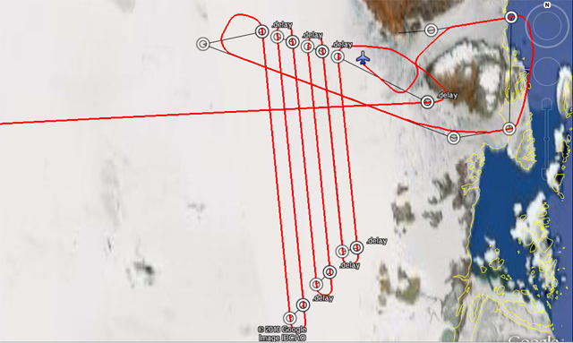
The actual flight path, including two extra flight lines down the middle of the glaciers.

Thule plow and sweeper clear the ramp and taxiway before the flight. Credit: Jim Yungel/NASA’s Wallops Flight Facility
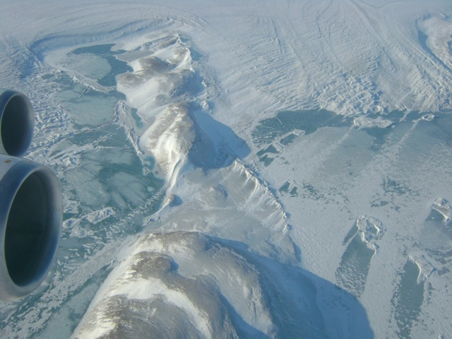
Nunataks — hills or mountains encircled by a glacier — are seen among the ice. Credit: Jim Yungel/NASA’s Wallops Flight Facility

Glacial blocks are seen near Zachariae Glacier. Credit: Jim Yungel/NASA’s Wallops Flight Facility
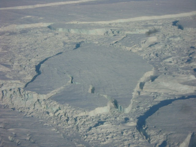
A close up view shows details within glacial blocks seen near Zachariae Glacier. Credit: Jim Yungel/NASA’s Wallops Flight Facility
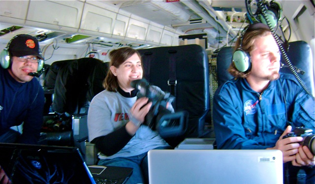
The science team and a NASA video producer watch the glacier. Credit: Jim Yungel/NASA’s Wallops Flight Facility
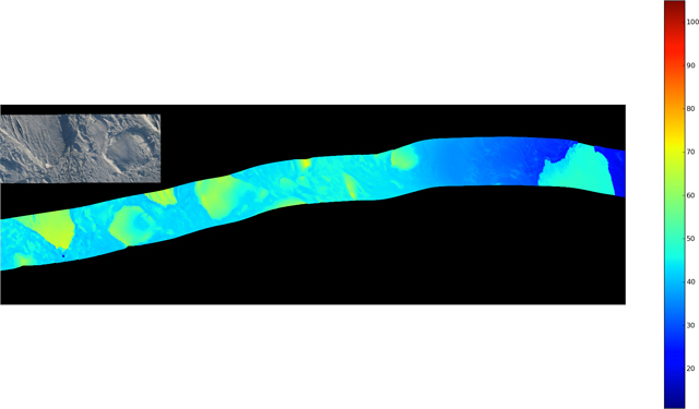
Preliminary data from the Airborne Topographic Mapper (ATM) show the topography around the Zachariae Glacier calving front region. The image contains preliminary data and is not for scientific analysis. Credit: Rob Russell/ATM team

Woow guys i am visiting nasa.gov once in a two days and there pictures are amazing i would like to thank you so much from istanbul / Turkiye please say hello if you go across istanbul =))) (I was joking)
what you guys are doing out there is just wonderful!!!. I just had a question for you. Forgive me if i may sound like star wars struck..
In reference to the Volcanic ash of the recent Iceland Volcano – do you people have giant convex mirrors(rectangular shaped), which could be placed up at an altitude where your above diagram reads 70 and 80; as that might deflect the air in the desired direction. The mirrors of course have to be self cleaning.